Stevens Creek Trail: Yuba to Sleeper, Sleeper to Remington
Stevens Creek Trail: Yuba to Sleeper, Sleeper to Remington
This month D. and I have been exploring the Stevens Creek Trail, which opened up a new trail segment earlier this year, expanding farther south toward its source. This first stretch is from Yuba Dr. to Sleeper Ave. Here are our pics.
The trailhead at Yuba Dr.
The trail follows along underneath the PG&E high-tension power lines.
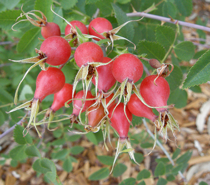
Wild rose hips along the trail.
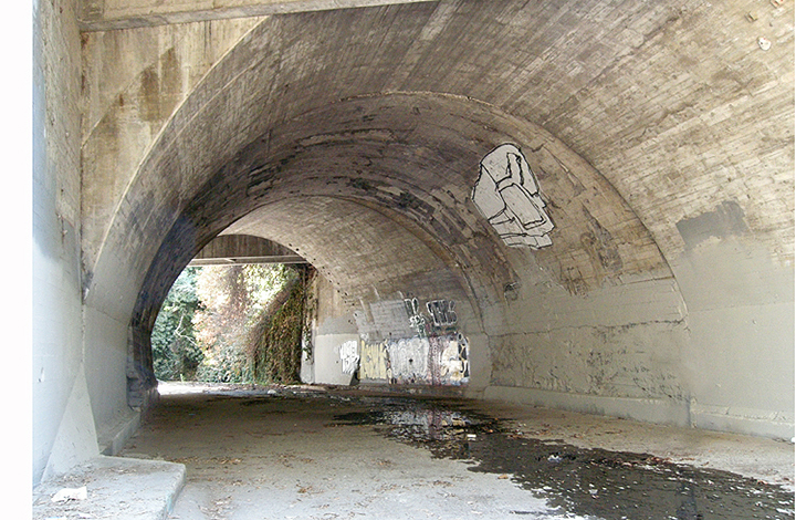
Approaching the El Camino underpass.

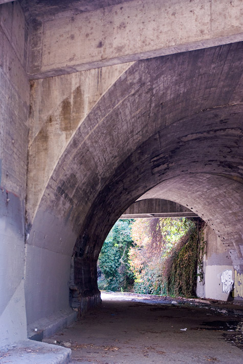
The creek goes under El Camino Real (Highway 82).
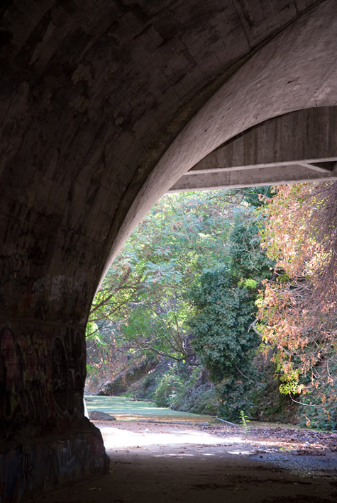
Looking north, downstream, the tunnel to our backs. Eventually the creek reaches San Francisco Bay.

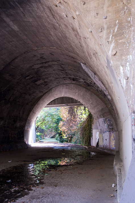
Looking south, upstream. The source is up in the Santa Cruz Mountains.
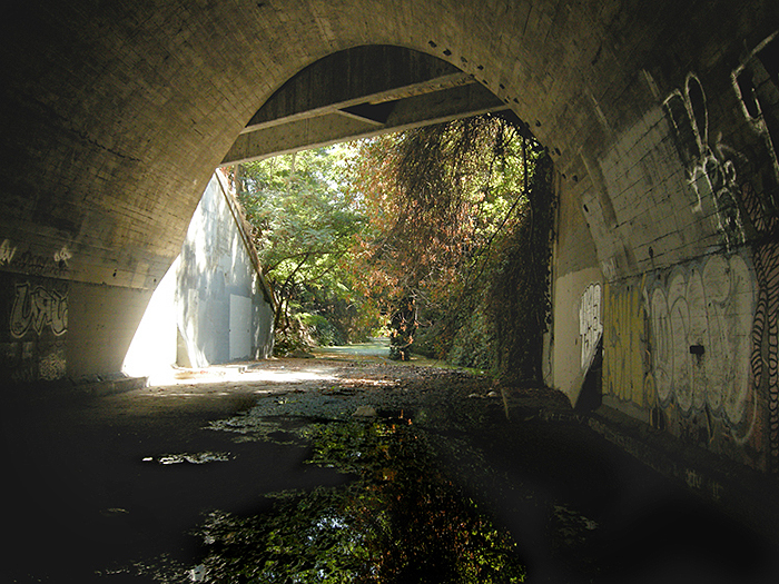
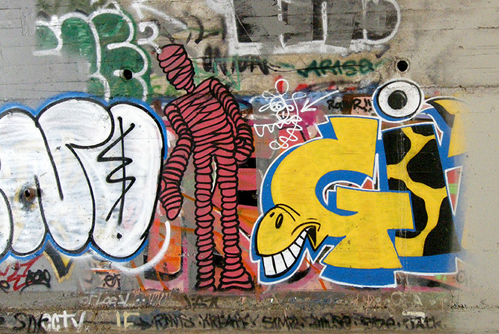
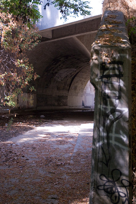
Graffiti in the tunnel.
Someone went to great lengths to create a climbing wall inside the tunnel.
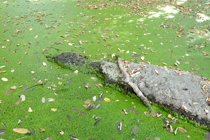
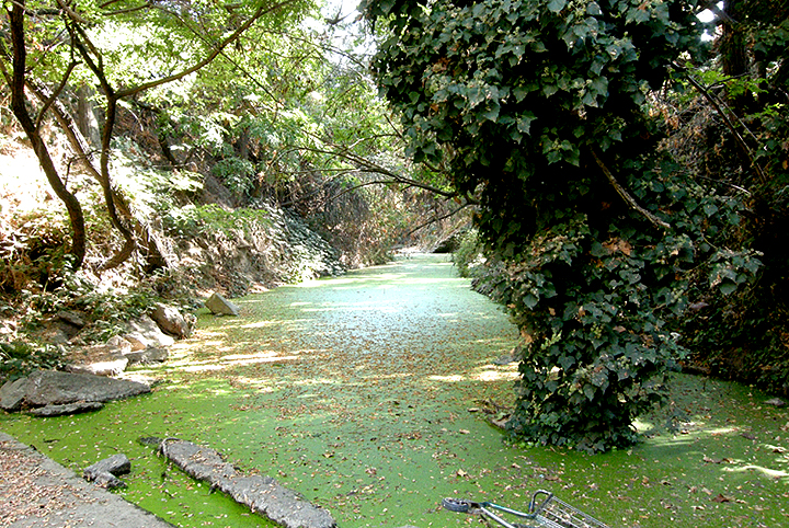
That is not moss on the ground; that is duckweed on the surface of the water, just south of the tunnel.
Upstream. The discarded shopping cart gives a clue as to the depth of the water underneath the duckweed.
Looking downstream back into the tunnel.
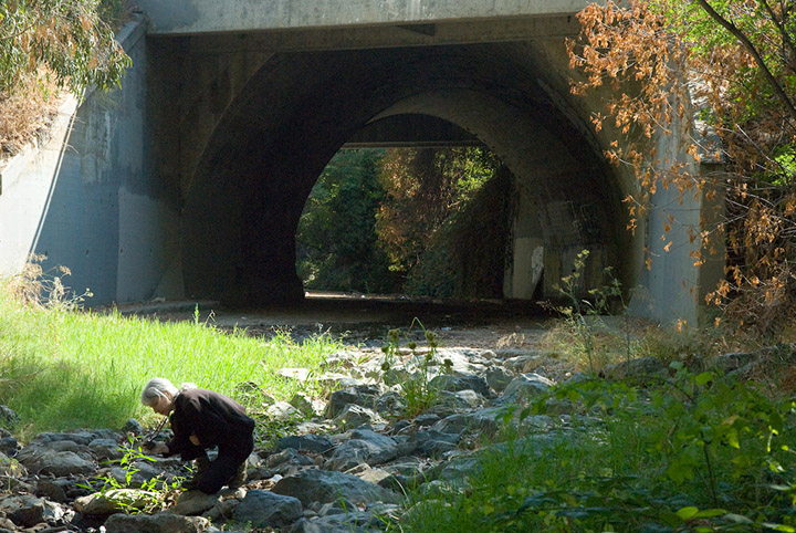
I take a closer look at some flowers on the downstream side.
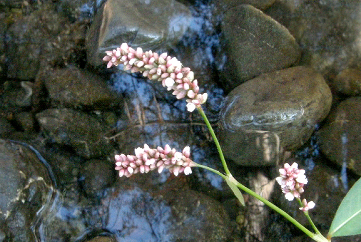
Here's those flowers, growing all along the water's edge.
The pedestrian tunnel under El Camino. This little tunnel itself cost $3 million.
It's got glass blocks in its ceiling, under the El Camino median, to allow in natural light. Maybe that's why it cost $3 million.
Looking ahead (south) to the rest of the trail. Highway 85 is to the left.
Looking back into the tunnel.
This section of the trail ends here. Or does it?
The next trail segment to be developed will continue along the high-tension line right-of-way.
Down in the creekbed itself, we find more duckweed, watered by a drainage pipe feeding into the creek.
A few yards upstream from the pipe and the creekbed is dry.
We keep on finding clamshells among the rocks and dirt in the creekbed.
This area has had some standing water for a while not too long ago; there are mats of dried algae covering everything.
Catkins on an arroyo willow.
Part of an enormous stand of huge prickly pear cactus growing on the west bank of the creek. Many of them have ripening fruit. (All that red foliage in the background of the second pic is poison oak.)
Some of the trash and debris we see here and there all along the creekbed.
An open stretch.
A chair sits above the bank. It probably provides a very nice view of the creek for whoever knows it's there.
We resume our walk the following week, accessing the creek from Sleeper Park and ending at Remington Dr.
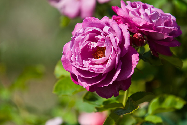
Roses in a neighborhood garden across from Sleeper Park.
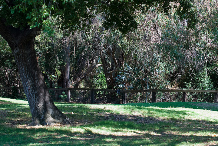
Sleeper Park, where we re-enter the creekbed.
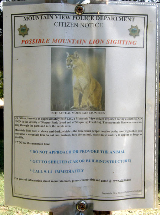
Mountain lion warning posted in the park. Nope. We don't see any. We miss this one by 3 months.
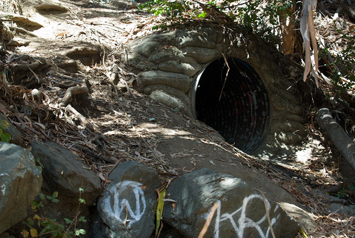
Down in the creekbed, a pipe feeds neighborhood storm drain runoff into the creek.
Looking south, upstream.

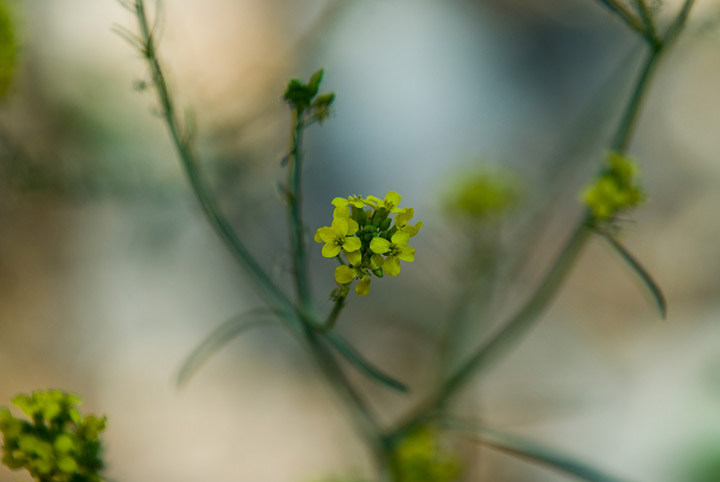
Wild mustard in bloom, growing in the dry creekbed.
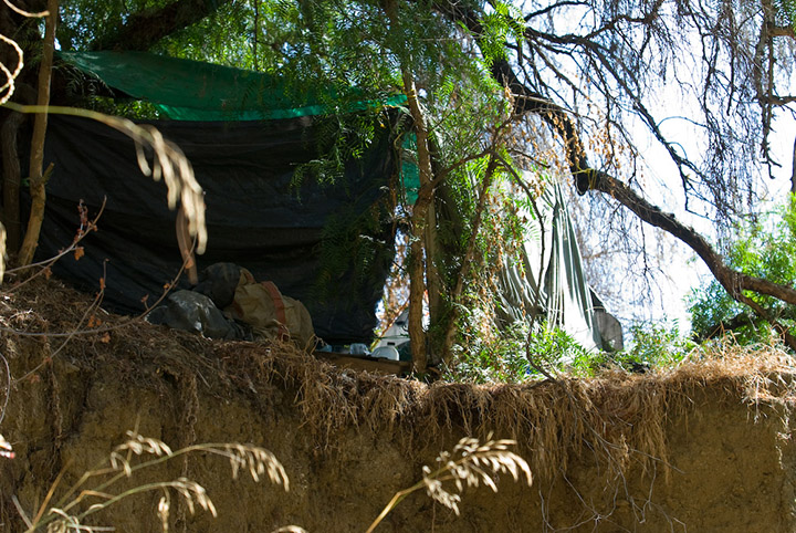
One of 3 or 4 encampments we see in the brush in various places along the creek. Some look like a homeless person's dwelling, others just a place for partying.
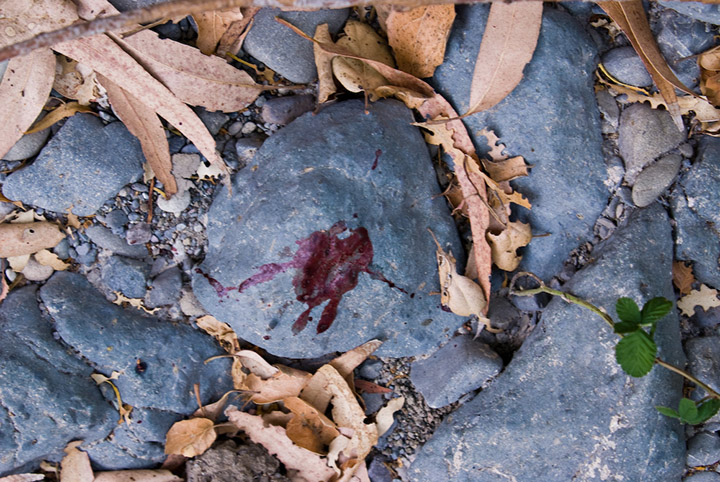
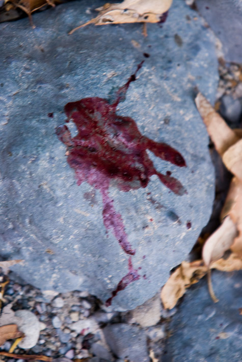
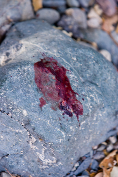
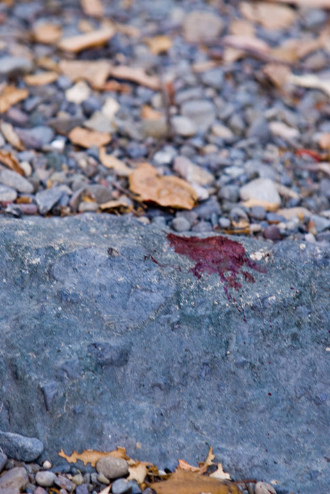
Bloody pawprints, probably a raccoon's. We see a series of them along this stretch of the creek. The creature ran a considerable distance over the stones with a wounded foot.
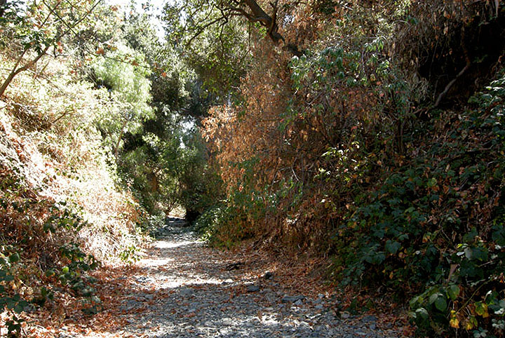
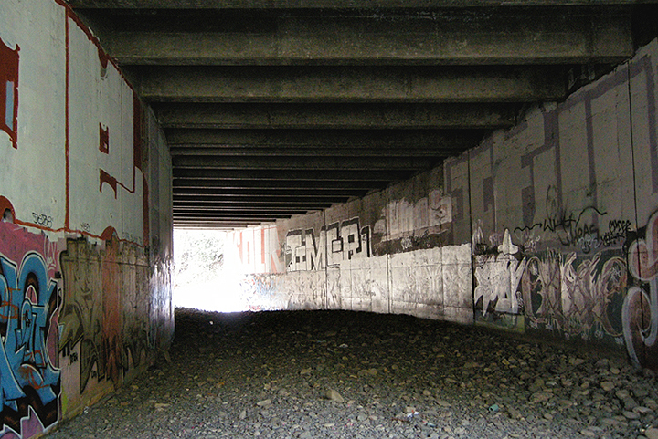
Here's where the creek goes under Highway 85.
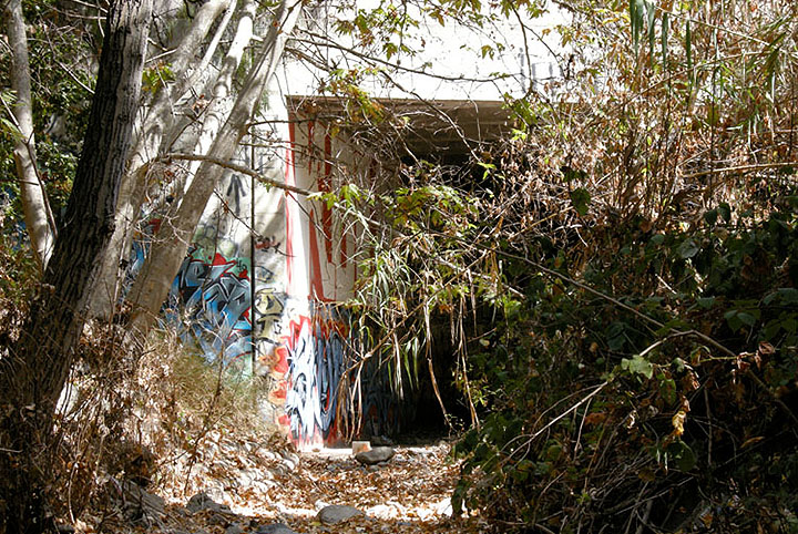
Plenty of graffiti in the tunnel.
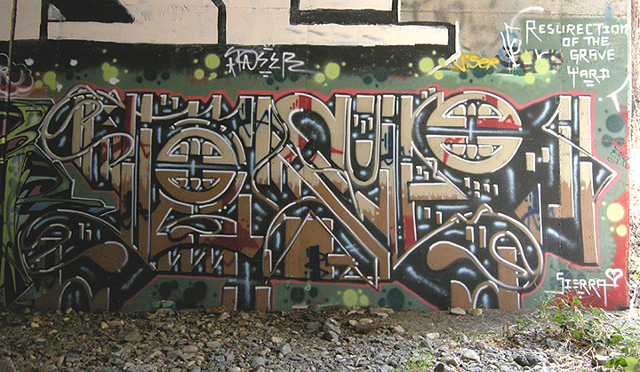
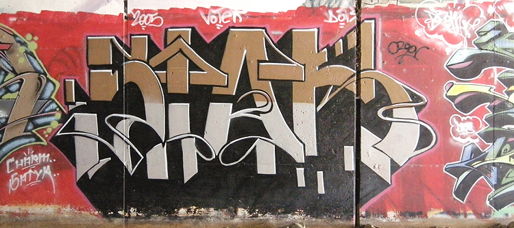

Looking out the other end.
Looking back the way we came.
More graffiti outside the tunnel.
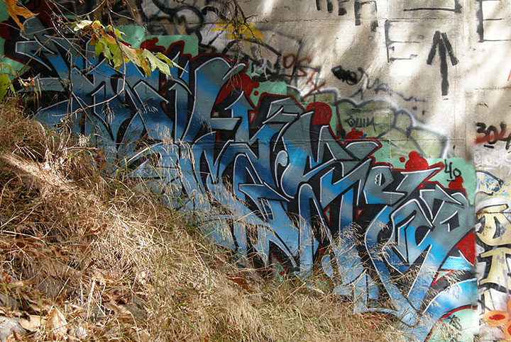
Looking upstream.
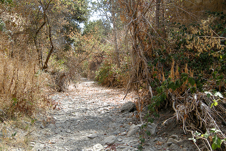
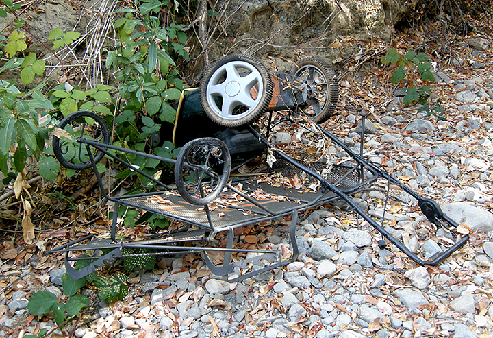
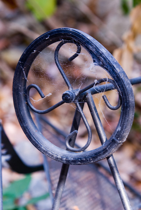
There was occasional trash in the creekbed, mostly small stuff. But there was also this mess, a relatively new lawn mower and patio furniture.
At this point we detour up to the top of the creek bank due to lots of sawed-up trees strewn in the creekbed. This puts us right next to Highway 85.
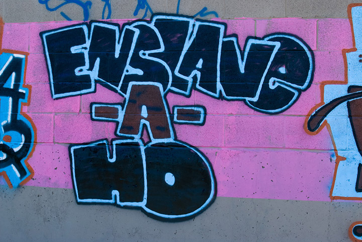
More graffiti on the Highway 85 soundwall.
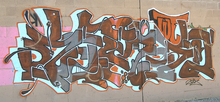
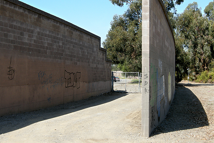
Looking at the highway through a CalTrans maintenance access gate.
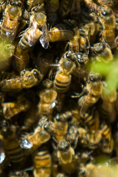
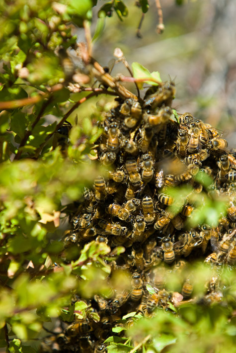
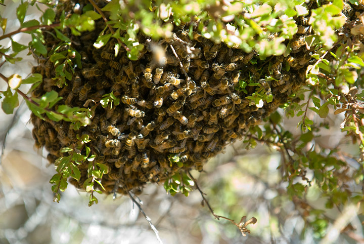
A mass of bees swarming on the branch of a shrub near the soundwall. We couldn't see any hive, just solid bees.
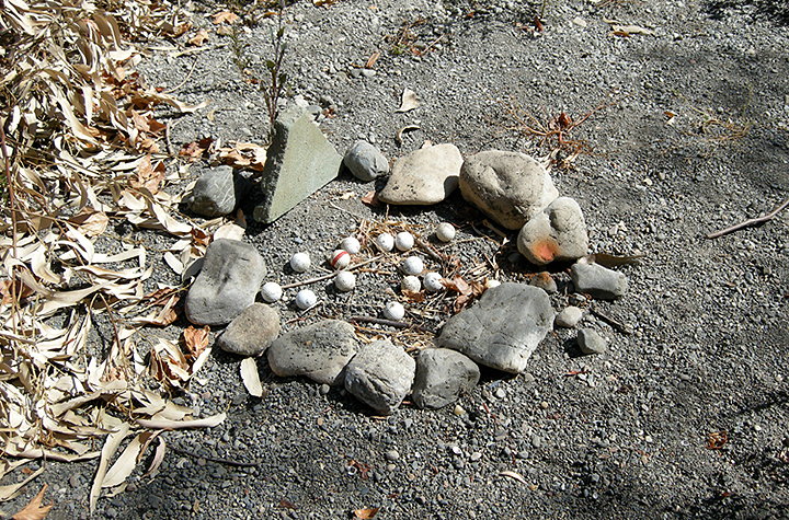
Back down in the creekbed, we found some kind of shrine to golf balls.
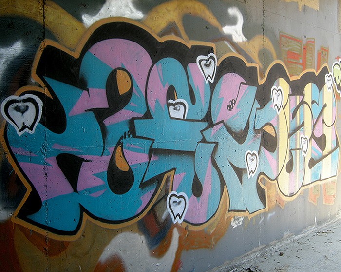
Graffiti in the Permanente Creek Diversion Channel where Highway 85 crosses it. This is where it joins Stevens Creek.

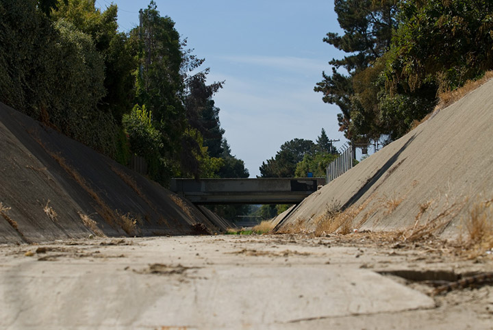
Looking back down the diversion channel from the tunnel, toward its junction with Permanente Creek a mile and a half west. High flows from winter storms are diverted out of Permanente Creek into Stevens Creek, providing flood control for the cities of Mountain View and Los Altos.
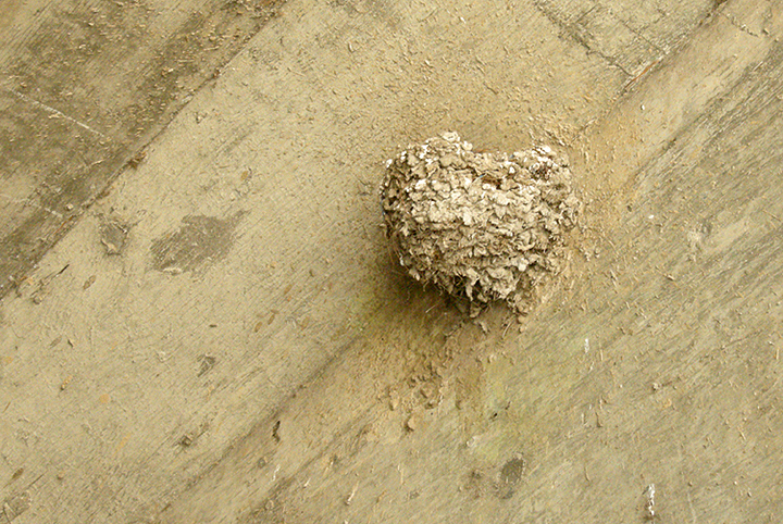
A swallow nest in the diversion channel tunnel.
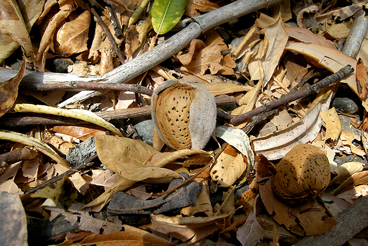
Farther along Stevens Creek, we found wild bitter almond trees along one stretch, in the shadow of the highway. The nuts are so bitter even the squirrels won't eat them. (They are toxic too.)
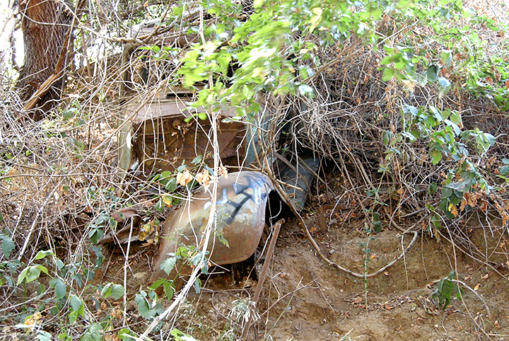
A very old wrecked auto, left to rust on the bank, overgrown with poison oak.
We find a secret garden in the PG&E high-tension power lines right-of-way that runs between the back fences of the local neighborhood houses and the top of the creek bank.
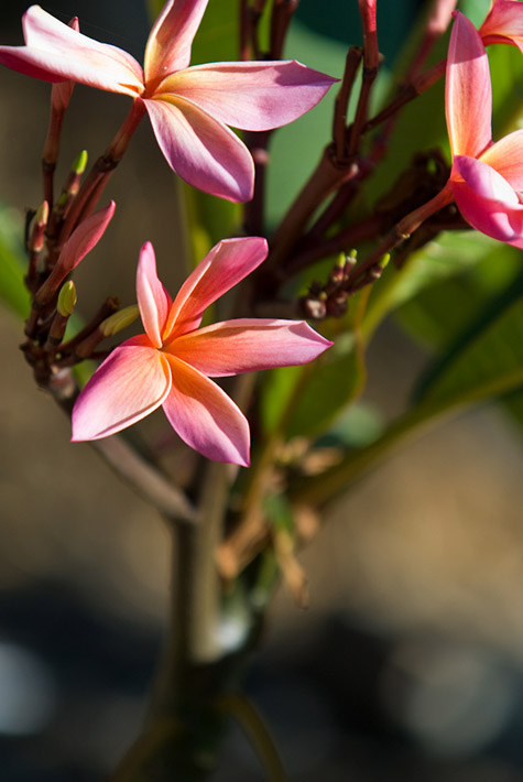
Secret garden plumeria flower.
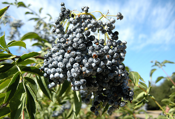
Secret garden elderberries.
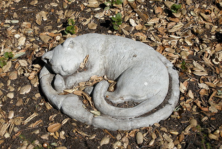
Secret garden sleeping kitty statue.
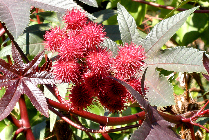
Secret garden castor bean plant.
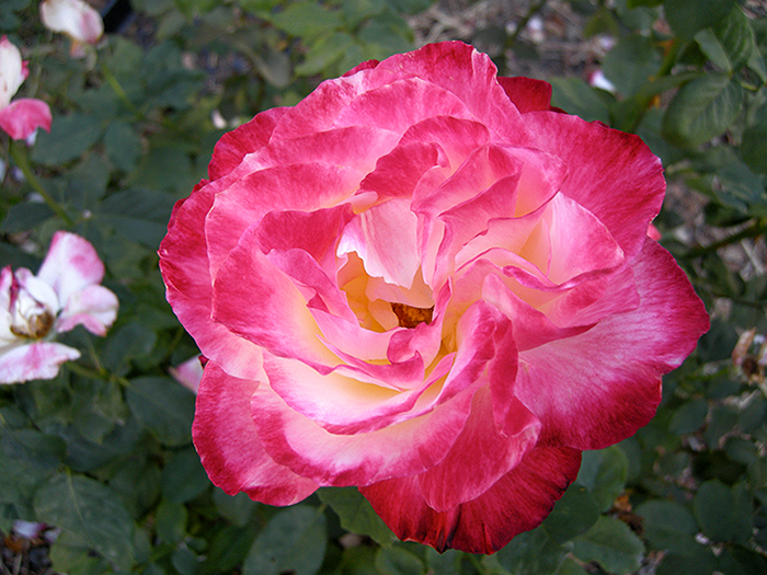
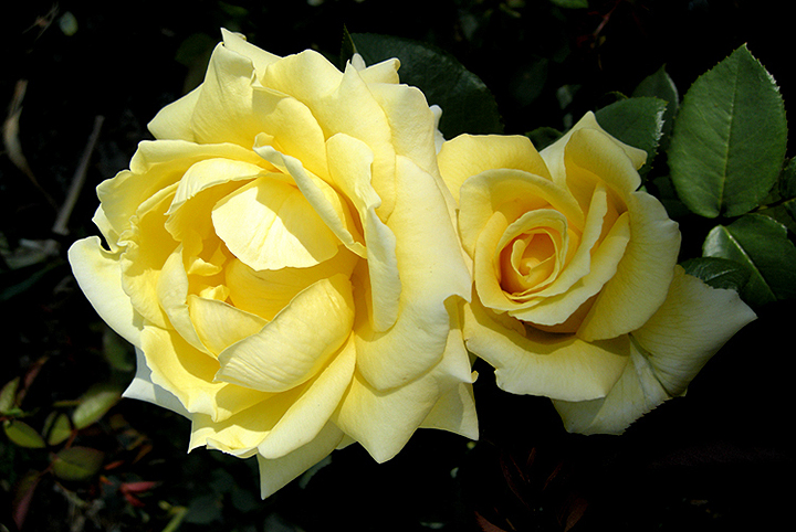
Secret garden roses.
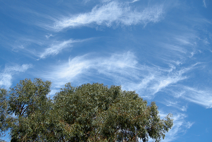
Nice clouds.
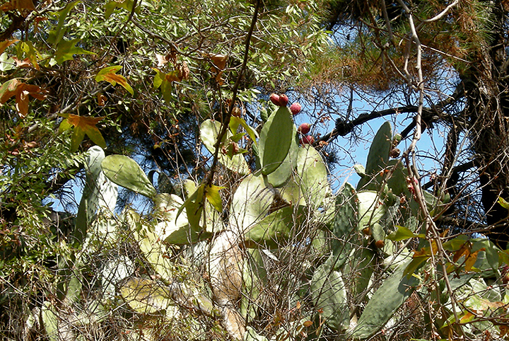
More prickly pear cactus, full of fruit, growing wild in another patch on the bank. Their fruits are edible -- but you must peel the spines off very carefully!
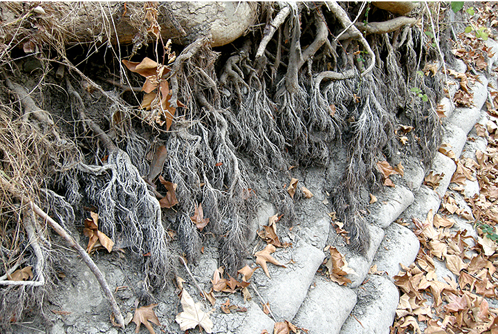
Roots exposed by previous floodwaters scouring away the bank.
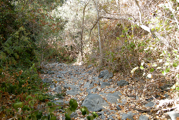
Stones, blackberry vines and fallen leaves lined the creekbed the entire way.

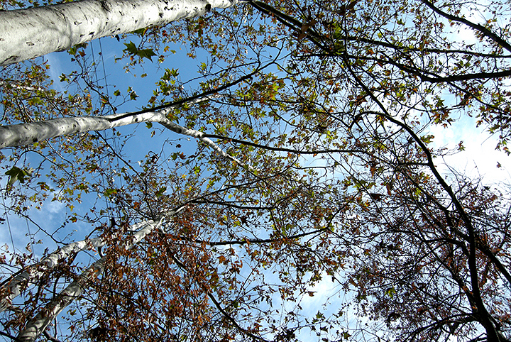
Looking up through sycamore branches.
Creekbed.
.
This month D. and I have been exploring the Stevens Creek Trail, which opened up a new trail segment earlier this year, expanding farther south toward its source. This first stretch is from Yuba Dr. to Sleeper Ave. Here are our pics.
The trailhead at Yuba Dr.
The trail follows along underneath the PG&E high-tension power lines.
Wild rose hips along the trail.

Approaching the El Camino underpass.

The creek goes under El Camino Real (Highway 82).


Looking north, downstream, the tunnel to our backs. Eventually the creek reaches San Francisco Bay.

Looking south, upstream. The source is up in the Santa Cruz Mountains.


Graffiti in the tunnel.

Someone went to great lengths to create a climbing wall inside the tunnel.

That is not moss on the ground; that is duckweed on the surface of the water, just south of the tunnel.

Upstream. The discarded shopping cart gives a clue as to the depth of the water underneath the duckweed.

Looking downstream back into the tunnel.

I take a closer look at some flowers on the downstream side.

Here's those flowers, growing all along the water's edge.

The pedestrian tunnel under El Camino. This little tunnel itself cost $3 million.
It's got glass blocks in its ceiling, under the El Camino median, to allow in natural light. Maybe that's why it cost $3 million.
Looking ahead (south) to the rest of the trail. Highway 85 is to the left.
Looking back into the tunnel.
This section of the trail ends here. Or does it?
The next trail segment to be developed will continue along the high-tension line right-of-way.
Down in the creekbed itself, we find more duckweed, watered by a drainage pipe feeding into the creek.
A few yards upstream from the pipe and the creekbed is dry.
We keep on finding clamshells among the rocks and dirt in the creekbed.
This area has had some standing water for a while not too long ago; there are mats of dried algae covering everything.
Catkins on an arroyo willow.
Part of an enormous stand of huge prickly pear cactus growing on the west bank of the creek. Many of them have ripening fruit. (All that red foliage in the background of the second pic is poison oak.)
Some of the trash and debris we see here and there all along the creekbed.
An open stretch.
A chair sits above the bank. It probably provides a very nice view of the creek for whoever knows it's there.
We resume our walk the following week, accessing the creek from Sleeper Park and ending at Remington Dr.
Roses in a neighborhood garden across from Sleeper Park.

Sleeper Park, where we re-enter the creekbed.

Mountain lion warning posted in the park. Nope. We don't see any. We miss this one by 3 months.

Down in the creekbed, a pipe feeds neighborhood storm drain runoff into the creek.

Looking south, upstream.


Wild mustard in bloom, growing in the dry creekbed.

One of 3 or 4 encampments we see in the brush in various places along the creek. Some look like a homeless person's dwelling, others just a place for partying.

Bloody pawprints, probably a raccoon's. We see a series of them along this stretch of the creek. The creature ran a considerable distance over the stones with a wounded foot.


Here's where the creek goes under Highway 85.

Plenty of graffiti in the tunnel.


Looking out the other end.
Looking back the way we came.

More graffiti outside the tunnel.

Looking upstream.

There was occasional trash in the creekbed, mostly small stuff. But there was also this mess, a relatively new lawn mower and patio furniture.


At this point we detour up to the top of the creek bank due to lots of sawed-up trees strewn in the creekbed. This puts us right next to Highway 85.
More graffiti on the Highway 85 soundwall.


Looking at the highway through a CalTrans maintenance access gate.

A mass of bees swarming on the branch of a shrub near the soundwall. We couldn't see any hive, just solid bees.


Back down in the creekbed, we found some kind of shrine to golf balls.


Graffiti in the Permanente Creek Diversion Channel where Highway 85 crosses it. This is where it joins Stevens Creek.


Looking back down the diversion channel from the tunnel, toward its junction with Permanente Creek a mile and a half west. High flows from winter storms are diverted out of Permanente Creek into Stevens Creek, providing flood control for the cities of Mountain View and Los Altos.

A swallow nest in the diversion channel tunnel.

Farther along Stevens Creek, we found wild bitter almond trees along one stretch, in the shadow of the highway. The nuts are so bitter even the squirrels won't eat them. (They are toxic too.)

A very old wrecked auto, left to rust on the bank, overgrown with poison oak.

We find a secret garden in the PG&E high-tension power lines right-of-way that runs between the back fences of the local neighborhood houses and the top of the creek bank.
Secret garden plumeria flower.

Secret garden elderberries.

Secret garden sleeping kitty statue.

Secret garden castor bean plant.

Secret garden roses.


Nice clouds.

More prickly pear cactus, full of fruit, growing wild in another patch on the bank. Their fruits are edible -- but you must peel the spines off very carefully!

Roots exposed by previous floodwaters scouring away the bank.

Stones, blackberry vines and fallen leaves lined the creekbed the entire way.

Looking up through sycamore branches.

Creekbed.

.