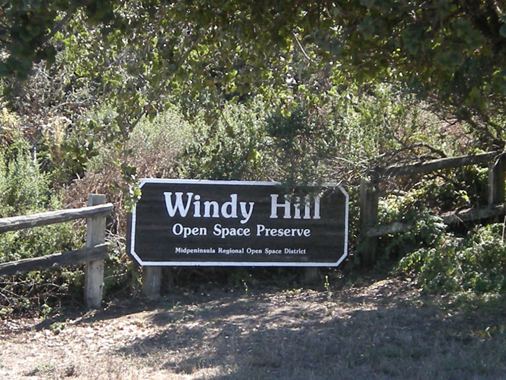
Windy Hill Open Space Preserve
Windy Hill Open Space Preserve
On Sunday D. and I decided to go to Windy Hill Open Space Preserve. Windy Hill is actually two hills whose peaks are just under 2,000 ft., and they live up to their name. People like to fly kites, hang-glide, para-glide, and fly non-motorized radio-controlled gliders there. People also like to go just for a walk and take pictures, which is what we did. Here's my pics.
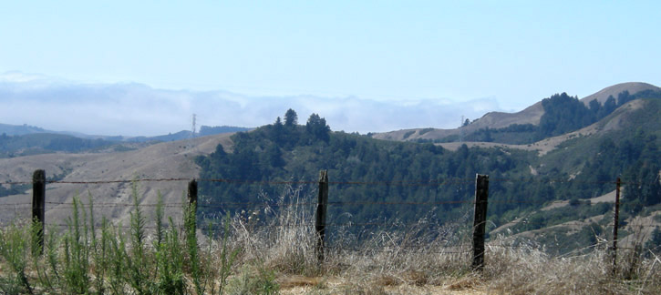
Upon arrival, the first thing we do is anxiously check the fog bank, which is right up against the coast but far enough away to give us unobstructed sunshine.
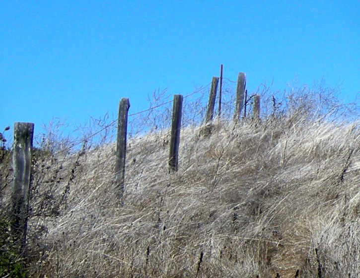
A hillside of dry grass beside the parking lot.
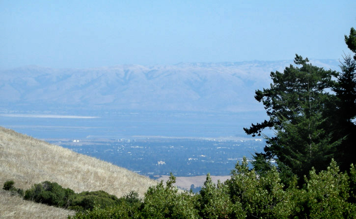
We set out on the Anniversary Trail to see the 360º views possible at the top of the hills. We get a peek of San Francisco Bay and the Diablo Range on our way.
We see fields full of floofed-out thistles, icons of summer's end.
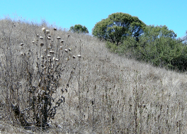
Anniversary Trail.
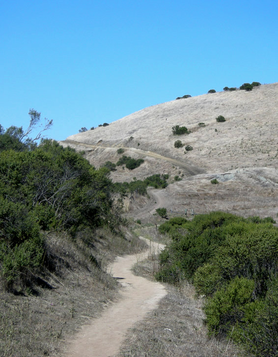
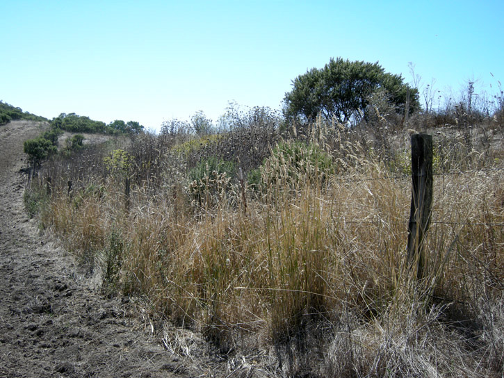
Dry grass and disced fire break.
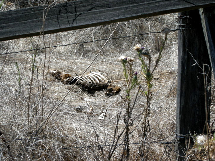
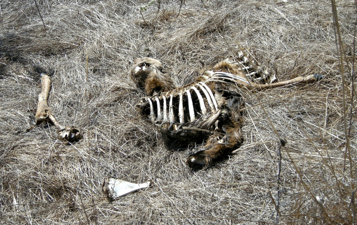
Mountain lion dining room.
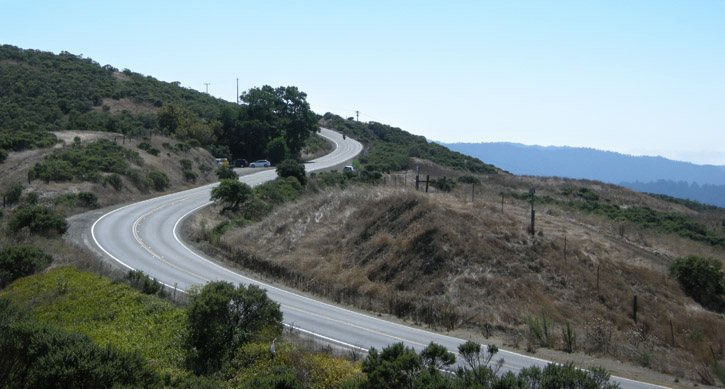
As the trail takes us higher we get a look to the south and snaking Skyline Blvd., which follows the ridge of the Santa Cruz Mountains.
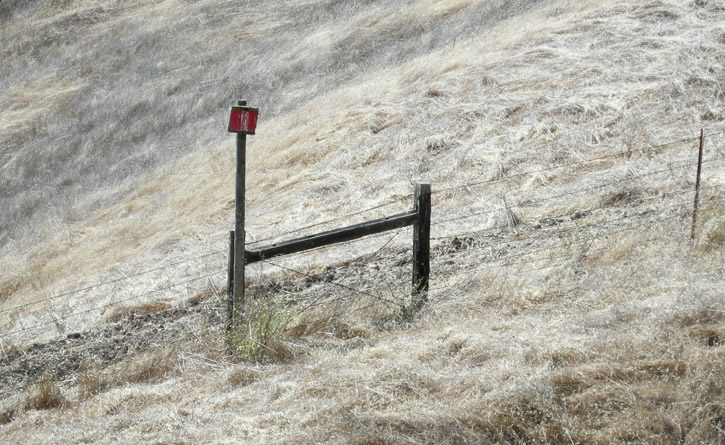
This sign across the road from the preserve probably once said No Trespassing, but now it's just covered in bird guano.
Another look south.
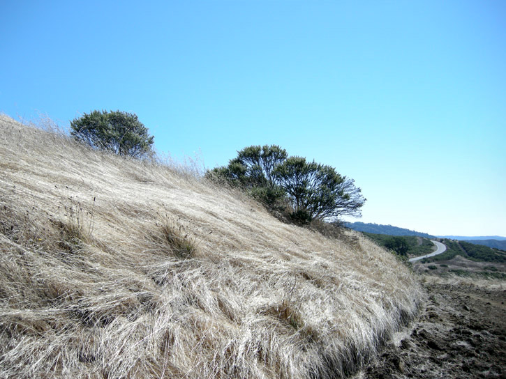
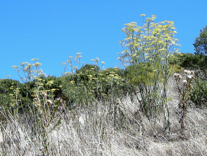
A stand of fennel, an invasive non-native, covers this hillside.
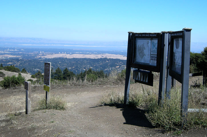
We reach the junction of the Spring Ridge Trail and get a view to the east.
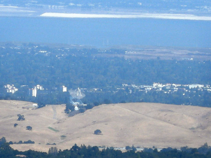
Stanford University's Big Dish radio telescope can barely be made out through the haze in its perch on a grassy ridge on Stanford's campus, where it searches for intelligent extra-terrestrial life. The dark Bay and white salt evaporation ponds are visible at the top of the image.
A thistle field near the first summit.
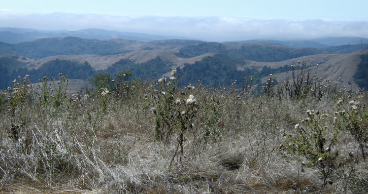
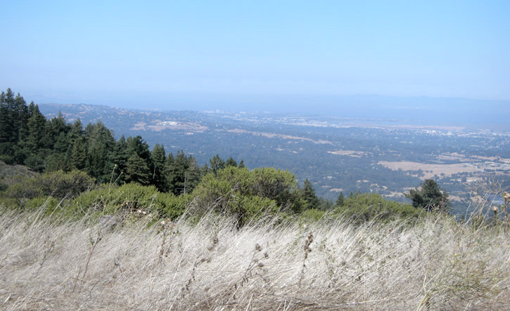
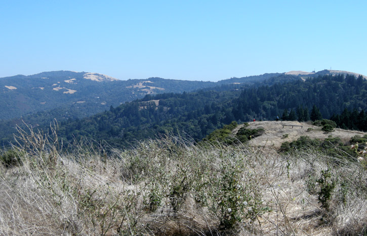
A couple of views from the summit.
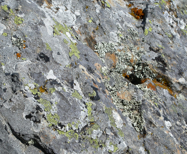
A moonscape of lichen growing on a boulder at the summit of the second hill.
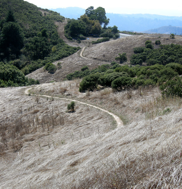
Descending the Anniversary Trail on our way to the Lost Trail.
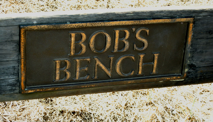
Whose bench is this?
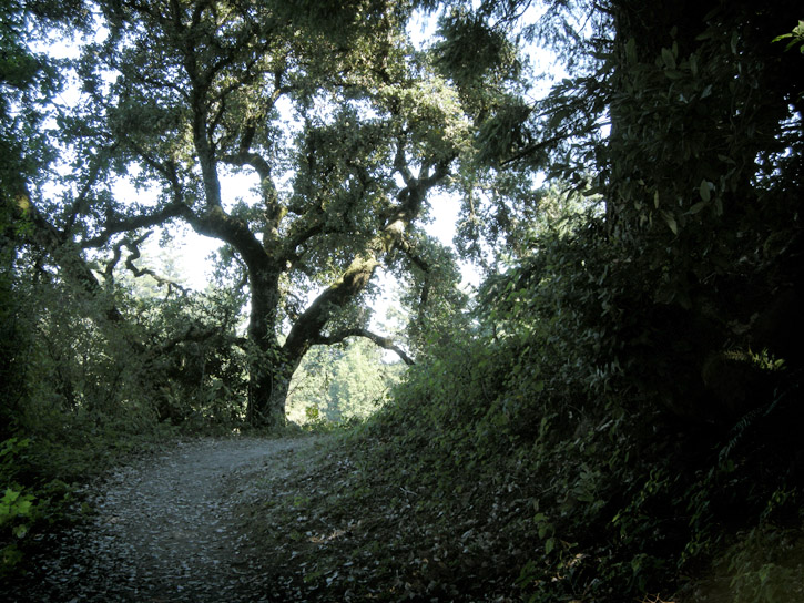
The Lost Trail takes us into a redwood, Douglas fir and oak forest. The Lost Trail was discovered when trail-building crews uncovered a forgotten old ranch road. It is now part of the Bay Area Ridge Trail system.
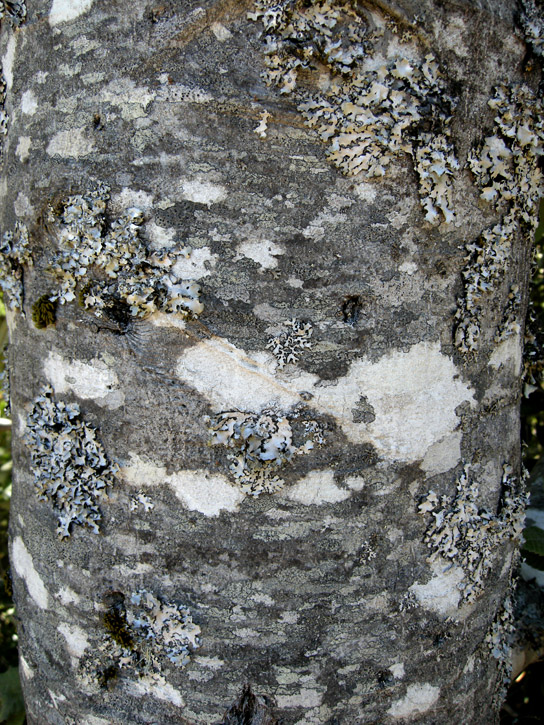
The mottled bark of this tanoak tree is an amazing patchwork of lichens.
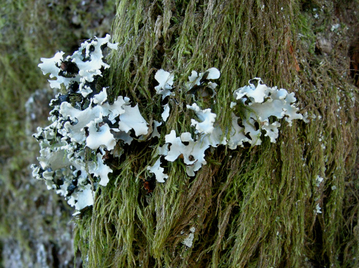
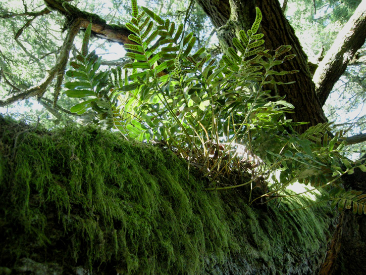
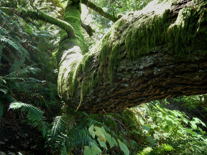
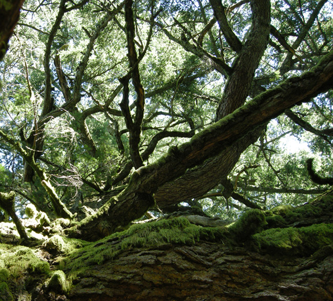
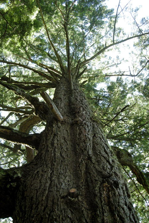
We take a short detour onto Hamms Gulch Trail to look at some enormous Douglas fir trees festooned with moss, lichen and ferns.
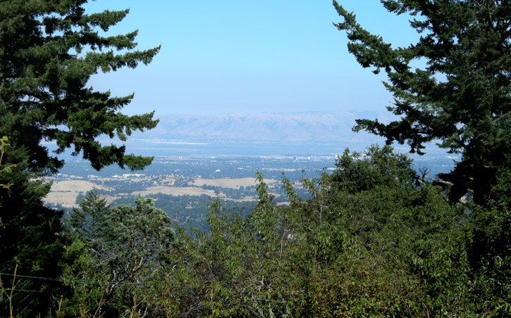
Continuing on the Lost Trail, we catch glimpses of the East Bay as we approach Jones Gulch.
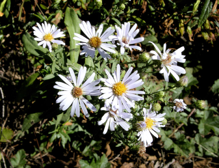
California asters along the trail.
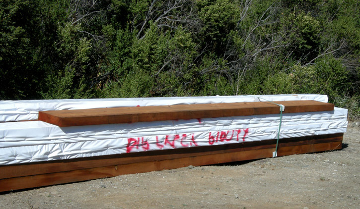
Pig Lunch Bucket? Dig Luca Bibutt?
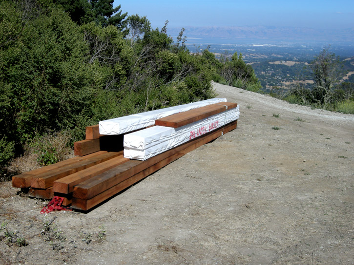
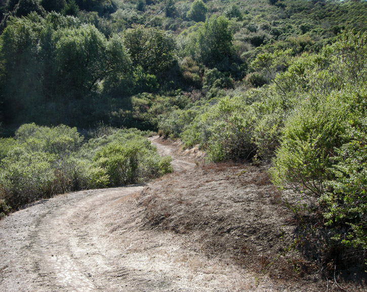
The trail heads south through a stretch of chaparral.
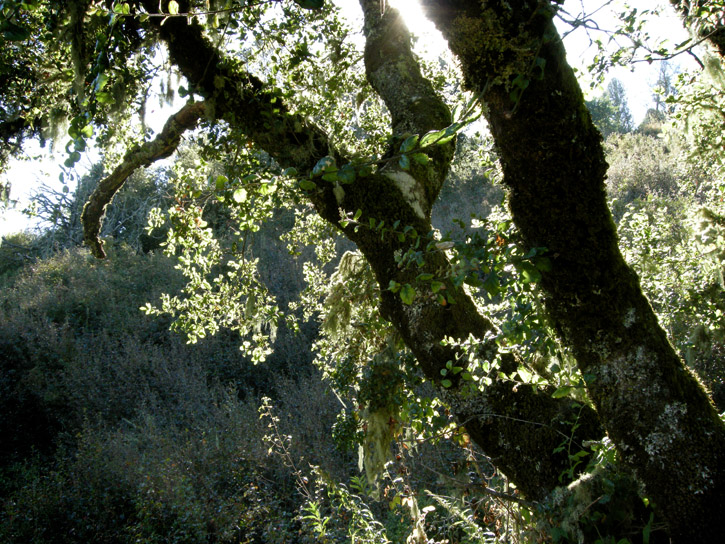
A live oak backlit in the late afternoon sun.
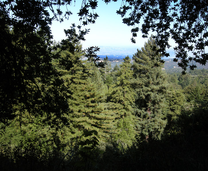
We skirt the head of Jones Gulch, in which are located some very large private estates, well-hidden within the trees. The Diablo Range is visible across the Bay on the horizon.
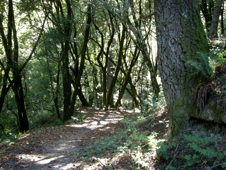
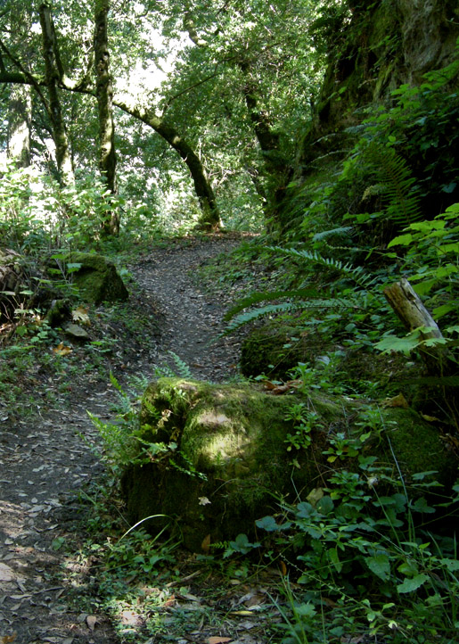
We enter a mixed forest of fir, madrone, bay and oak.
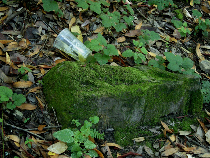
Some people are lazy, inconsiderate slobs.
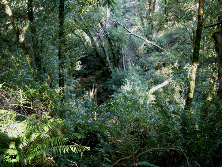
Looking deep down into the gulch.
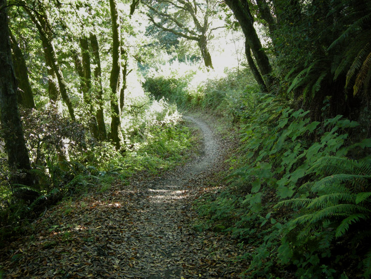
A blaze of late afternoon sunlight streams in through an opening in the canopy.
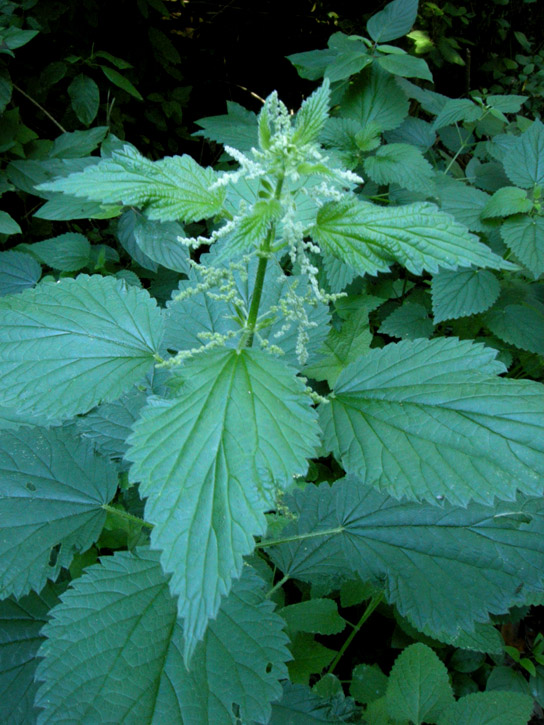
Nettles. Don't touch, big owie!
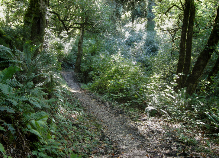
The afternoon grows late, so we turn to head back.
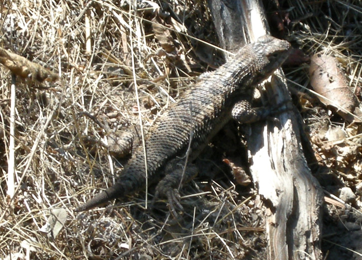
On our way back, we see a stubby-tailed lizard pause in a patch of dappled sun.
.
On Sunday D. and I decided to go to Windy Hill Open Space Preserve. Windy Hill is actually two hills whose peaks are just under 2,000 ft., and they live up to their name. People like to fly kites, hang-glide, para-glide, and fly non-motorized radio-controlled gliders there. People also like to go just for a walk and take pictures, which is what we did. Here's my pics.
Upon arrival, the first thing we do is anxiously check the fog bank, which is right up against the coast but far enough away to give us unobstructed sunshine.


A hillside of dry grass beside the parking lot.

We set out on the Anniversary Trail to see the 360º views possible at the top of the hills. We get a peek of San Francisco Bay and the Diablo Range on our way.

We see fields full of floofed-out thistles, icons of summer's end.

Anniversary Trail.

Dry grass and disced fire break.

Mountain lion dining room.


As the trail takes us higher we get a look to the south and snaking Skyline Blvd., which follows the ridge of the Santa Cruz Mountains.

This sign across the road from the preserve probably once said No Trespassing, but now it's just covered in bird guano.

Another look south.

A stand of fennel, an invasive non-native, covers this hillside.

We reach the junction of the Spring Ridge Trail and get a view to the east.

Stanford University's Big Dish radio telescope can barely be made out through the haze in its perch on a grassy ridge on Stanford's campus, where it searches for intelligent extra-terrestrial life. The dark Bay and white salt evaporation ponds are visible at the top of the image.

A thistle field near the first summit.

A couple of views from the summit.


A moonscape of lichen growing on a boulder at the summit of the second hill.

Descending the Anniversary Trail on our way to the Lost Trail.

Whose bench is this?


The Lost Trail takes us into a redwood, Douglas fir and oak forest. The Lost Trail was discovered when trail-building crews uncovered a forgotten old ranch road. It is now part of the Bay Area Ridge Trail system.

The mottled bark of this tanoak tree is an amazing patchwork of lichens.

We take a short detour onto Hamms Gulch Trail to look at some enormous Douglas fir trees festooned with moss, lichen and ferns.


Continuing on the Lost Trail, we catch glimpses of the East Bay as we approach Jones Gulch.

California asters along the trail.

Pig Lunch Bucket? Dig Luca Bibutt?


The trail heads south through a stretch of chaparral.

A live oak backlit in the late afternoon sun.

We skirt the head of Jones Gulch, in which are located some very large private estates, well-hidden within the trees. The Diablo Range is visible across the Bay on the horizon.

We enter a mixed forest of fir, madrone, bay and oak.


Some people are lazy, inconsiderate slobs.


Looking deep down into the gulch.

A blaze of late afternoon sunlight streams in through an opening in the canopy.

Nettles. Don't touch, big owie!


The afternoon grows late, so we turn to head back.

On our way back, we see a stubby-tailed lizard pause in a patch of dappled sun.

.