Newfoundland pictures! Many.
Hi, hello! I have many pictures to show you from my trip out east. It was a super time and the weather was fabulous throughout, for which we were very lucky. The ONLY maybe-sorta disappointment was that lobster season in NL was over, so there wasn't much of that to be had. I did, however, have a lot of fish. Cod is not something I'd had before, and it proved very nice indeed. I did not try cod tongues, though. Or screech. Or, sadly, toutons. Many shops were visited, and souvenirs boughten. I saw whales, learned new and exciting idioms, drank wine, found a piece of coral at the strand in Witless Bay, got sunburnt, and found my ancestors. A successful trip all around!
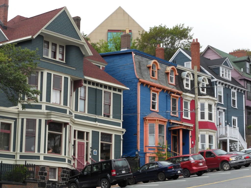
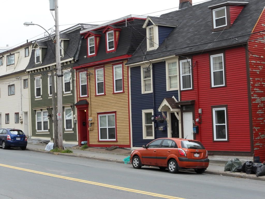
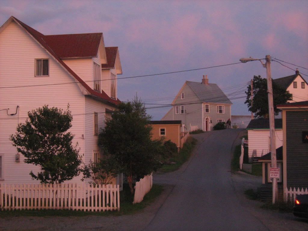
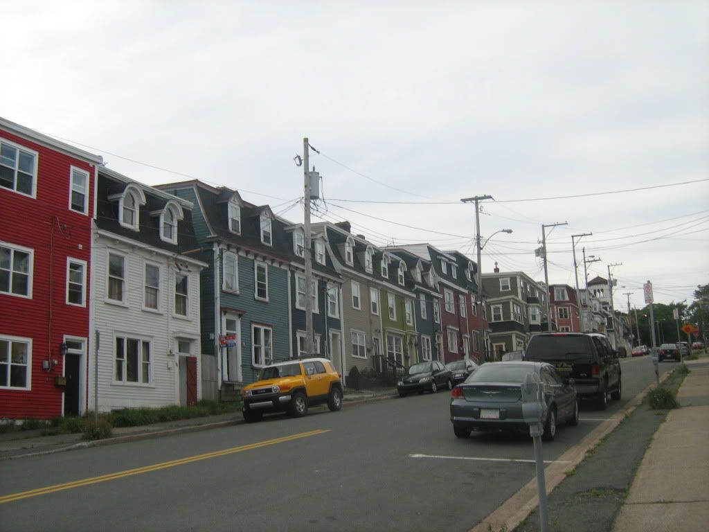
We began our trip in St. John's, the second largest city in the Atlantic provinces, with a whopping 120,000 people. The hills are steep and the houses are colourful. My maternal grandmother, great-grandmother, great-greats and so on all grew and lived in a small patch of Old St. John's.
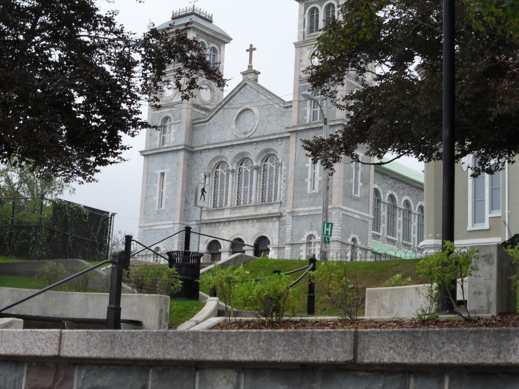
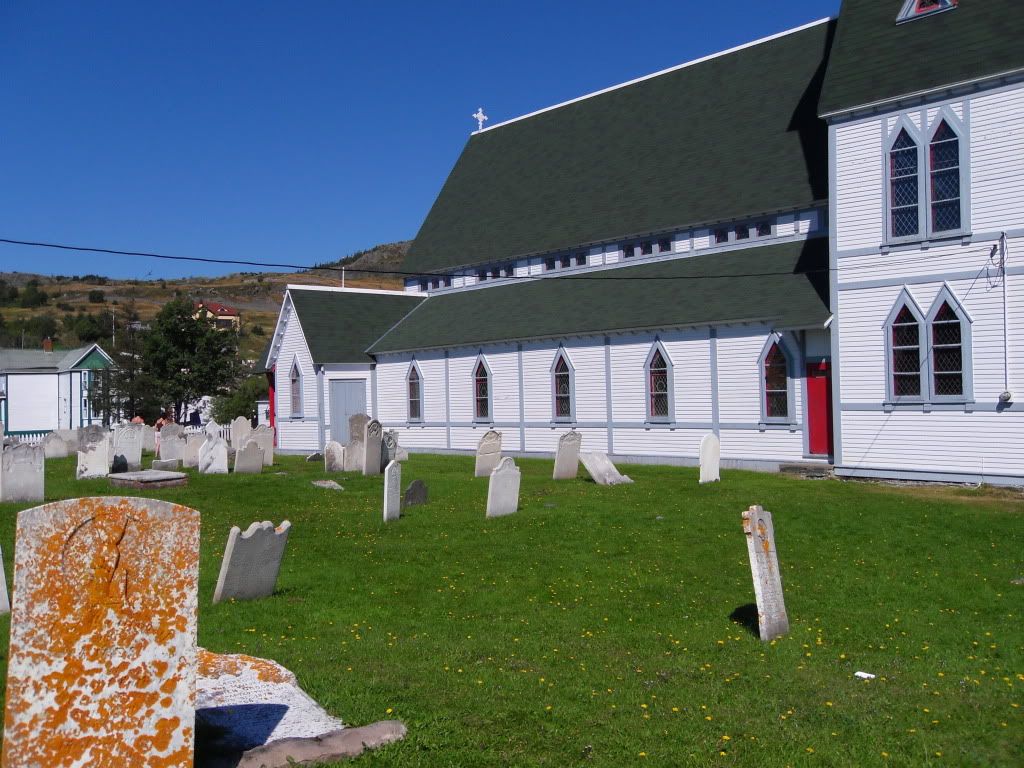
Above is the Basilica of St. John the Baptist, a great big cathedral that was built in the 1850s and expanded throughout the years. A great aunt of mine was with the convent there, with the Sisters of Mercy, before moving to a New York convent of the same order.
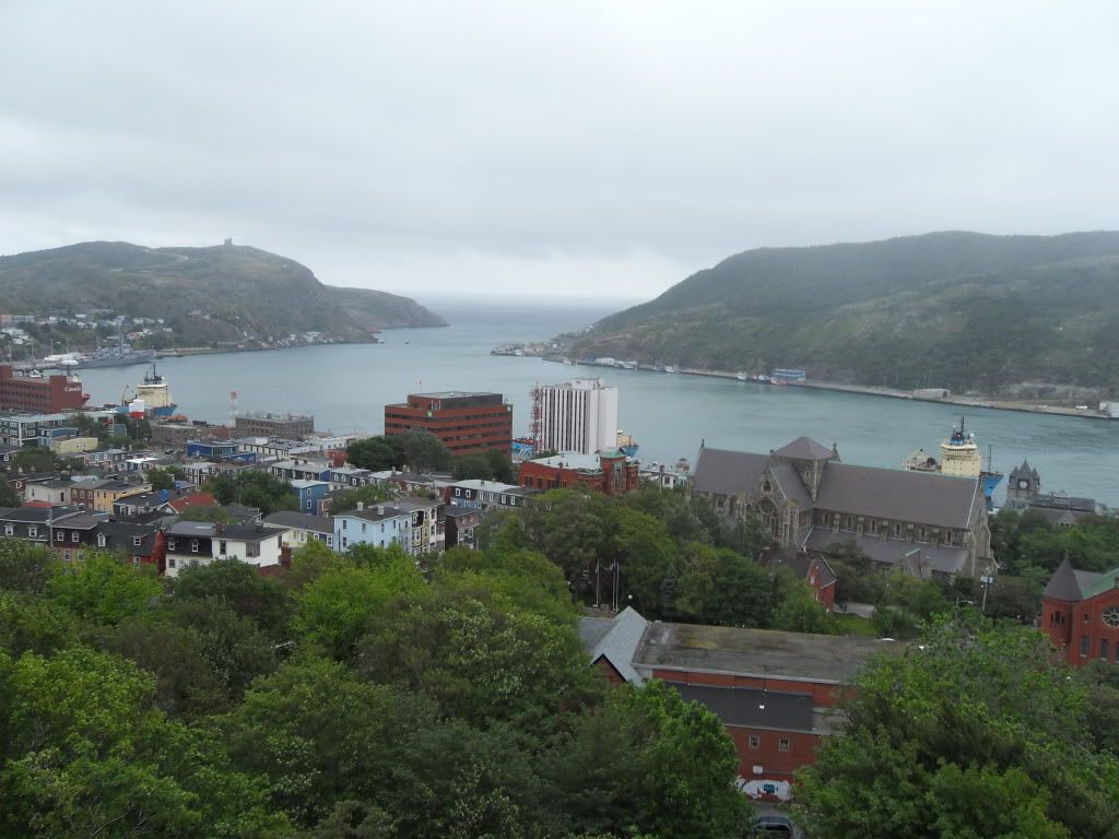
The view of the harbour from The Rooms, which is a combination museum, art gallery, and archives. My mother and I did some genealogy up there, with some success.
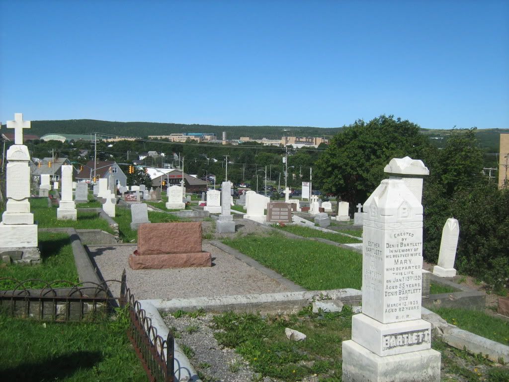
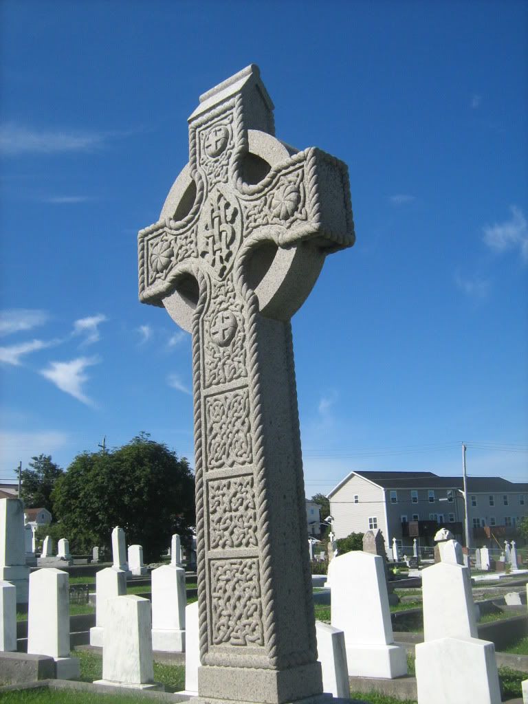
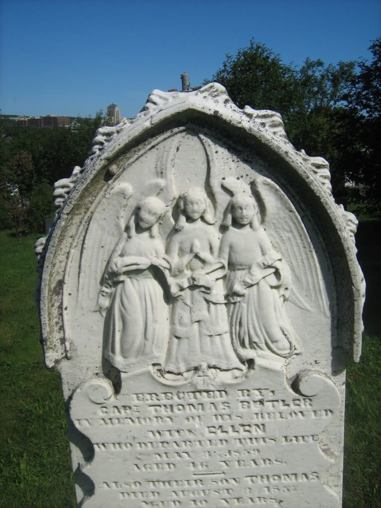
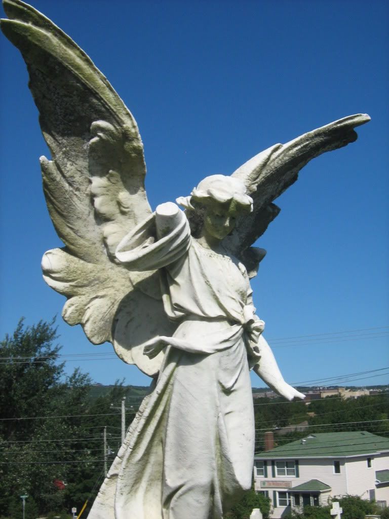
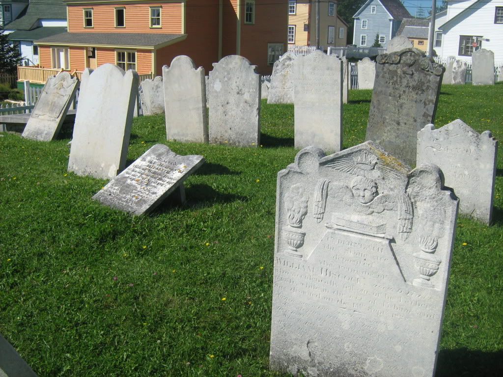
Our research lead us the next day to the Belvedere Cemetery, the old grounds for the Basilica parish where more than a few of my ancestors are buried.
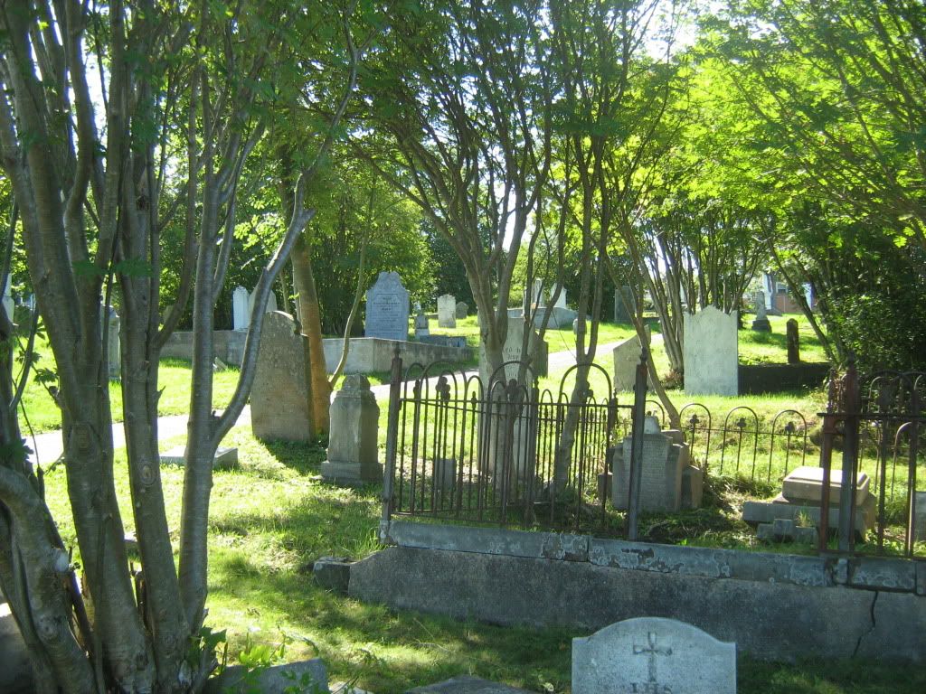
Somewhere back in the old sections of this cemetery, my great-great grandmother is buried, but the cemetery is huge and the older stones hard to read. Some of the plots are fully engulfed by rose bushes or trees, and the maintenance is hampered by the iron and concrete barriers everywhere.
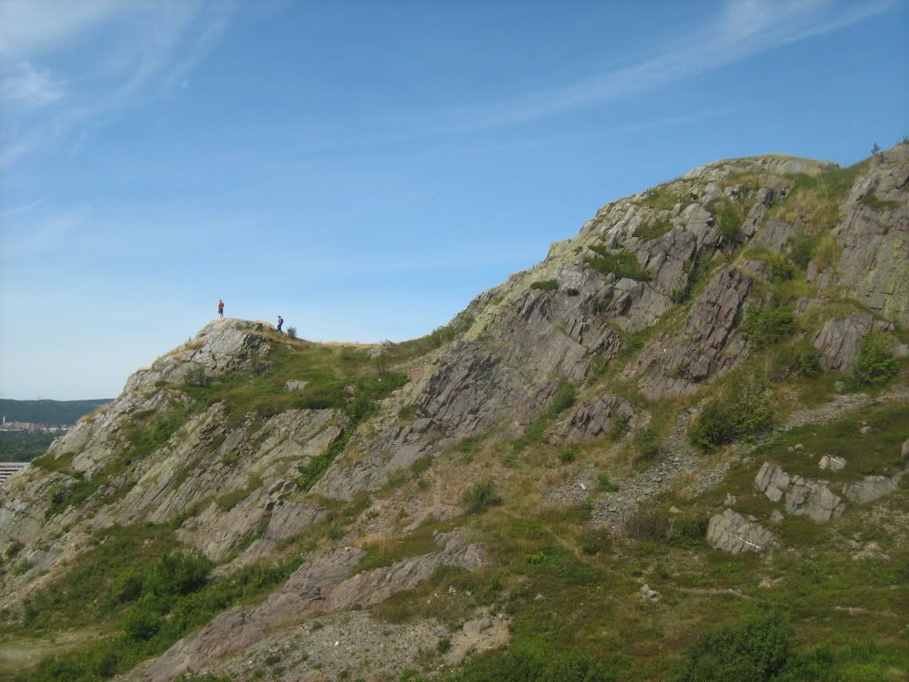
Then we went up to Signal Hill, one of the headlands guarding the Narrows and a Provincial Historic Site where Marconi made his transatlantic wireless transmissions, and where the harbour was defended with guns for hundreds of years up until the end of WWII. The hikers in this pic were locals who did the walk almost daily.
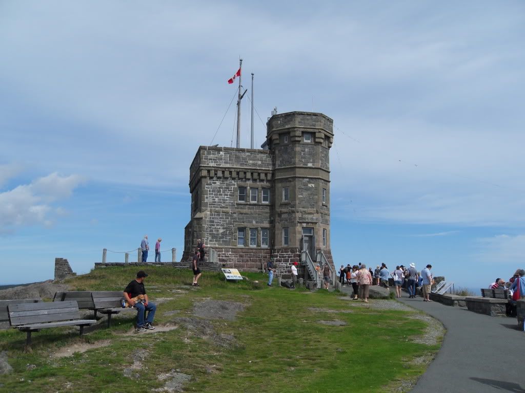
Cabot Tower, were the signals are put up for ships approaching the harbour, and where the wireless station was housed.
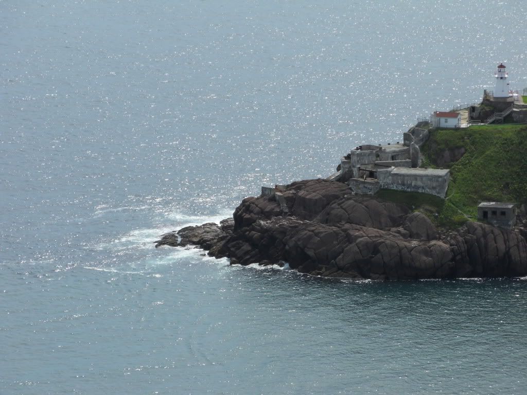
Fort Amherst, across the Narrows.
The old Queen's Battery guns.
\
The "new" Battery -- swivel-mounted cannon.
The view into the harbour.
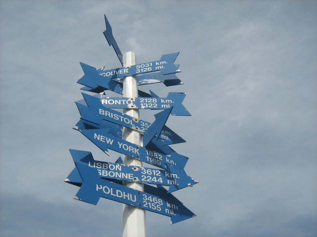
Signal Hill signpost.
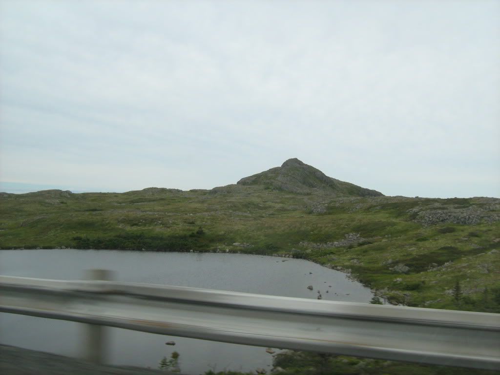
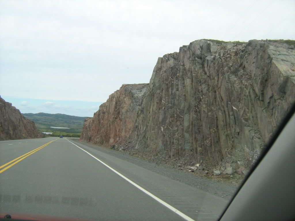
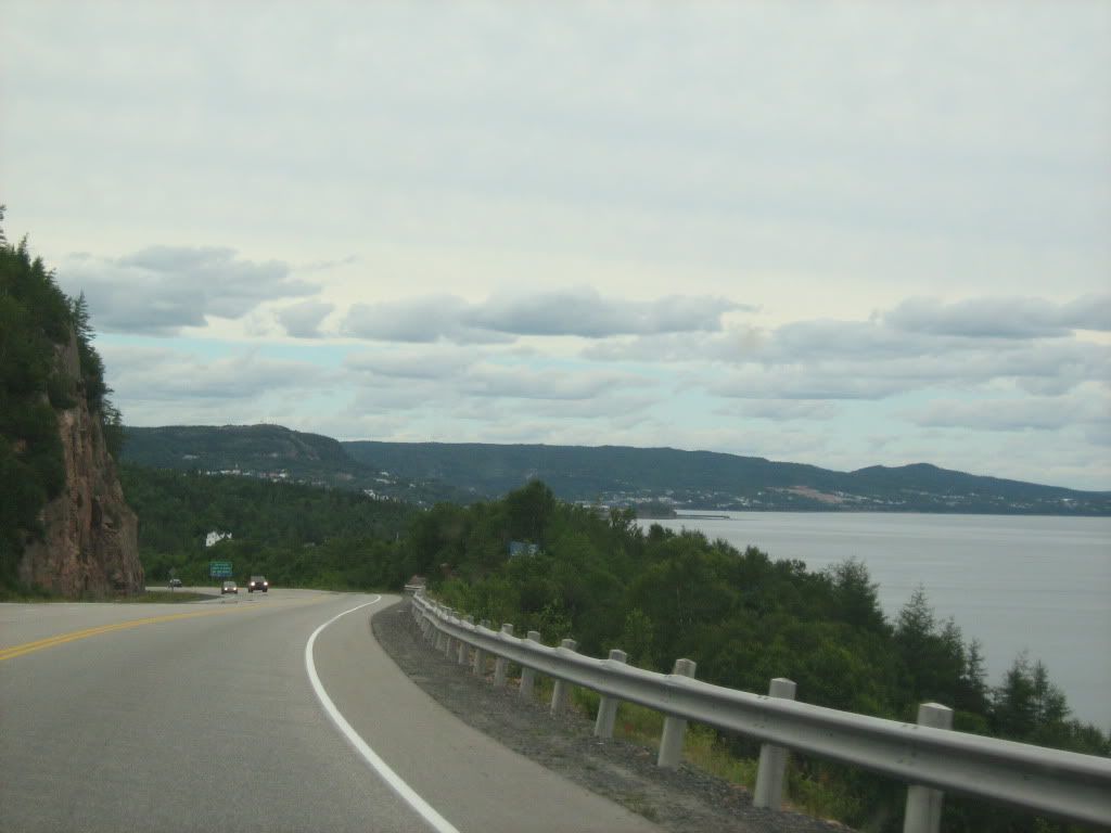
From St. John's we drove 3.5 hours to go to Trinity, Trinity Bay, an historic town just Northwest of the Avalon Peninsula. Though some tourists try, you would need a LOT of time to tour the whole of the island. Gros Morne and L'Anse-aux-Meadows are a full six hours from St. John's, driving non-stop. We stuck almost entirely to the East, on the Avalon except for Trinity.
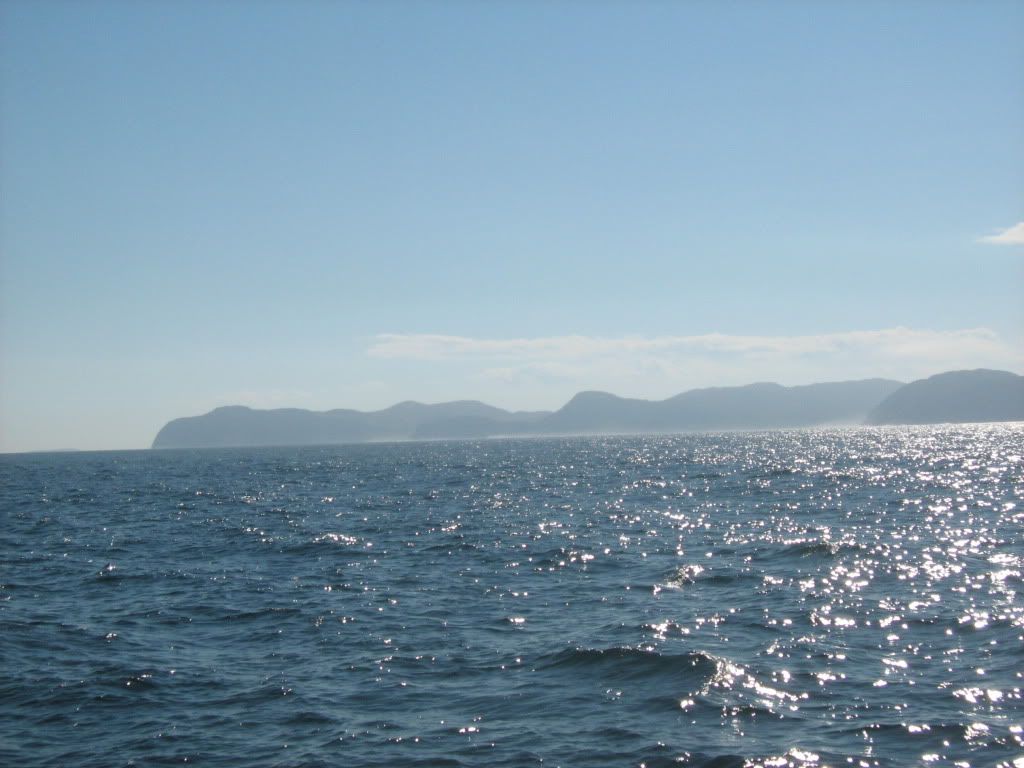
The very southern tip of Trinity Bay, near Clarenville.
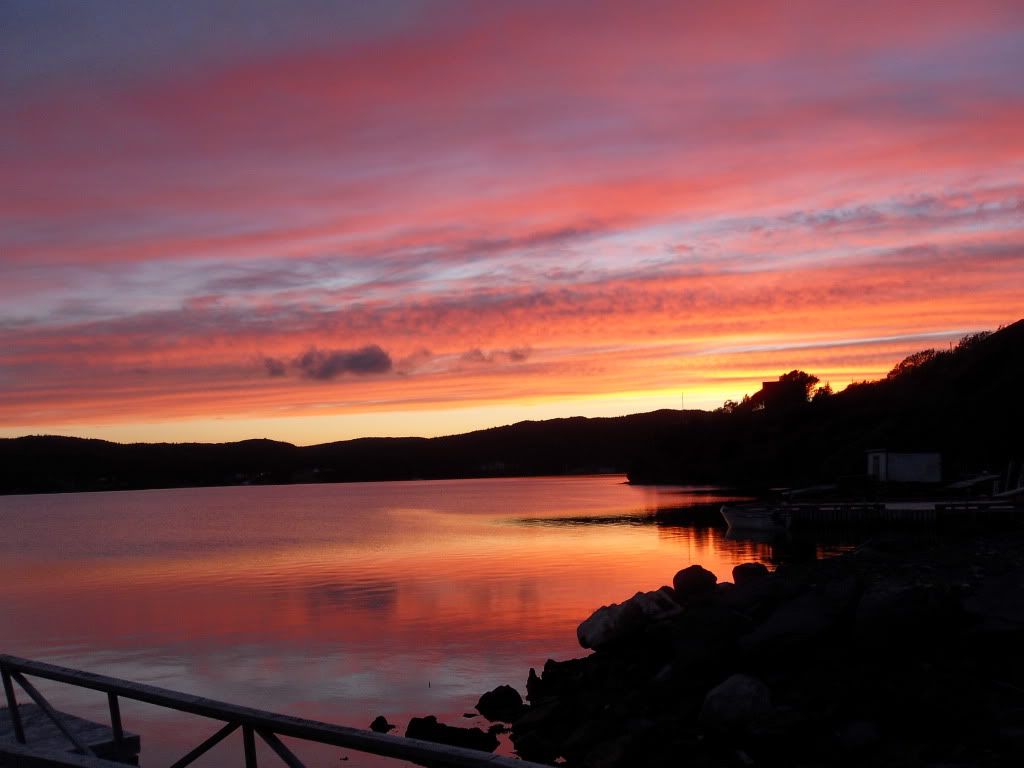
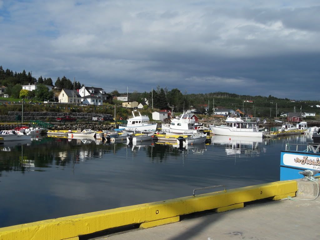
Our first night in Trinity, we had a great sunset.
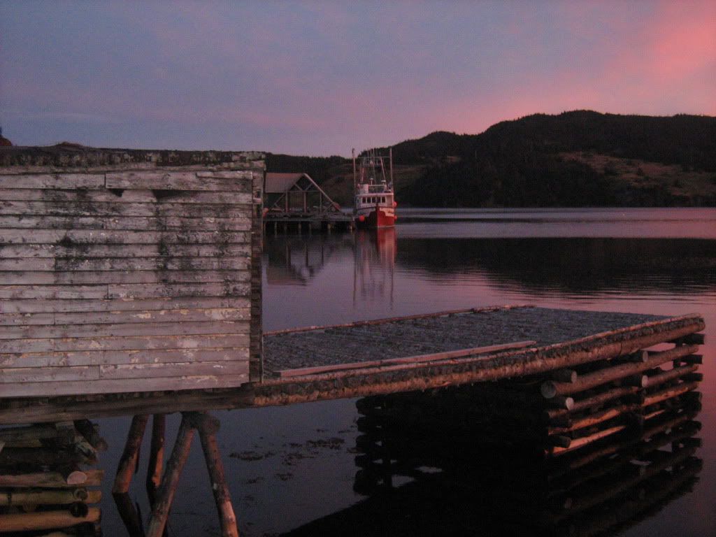
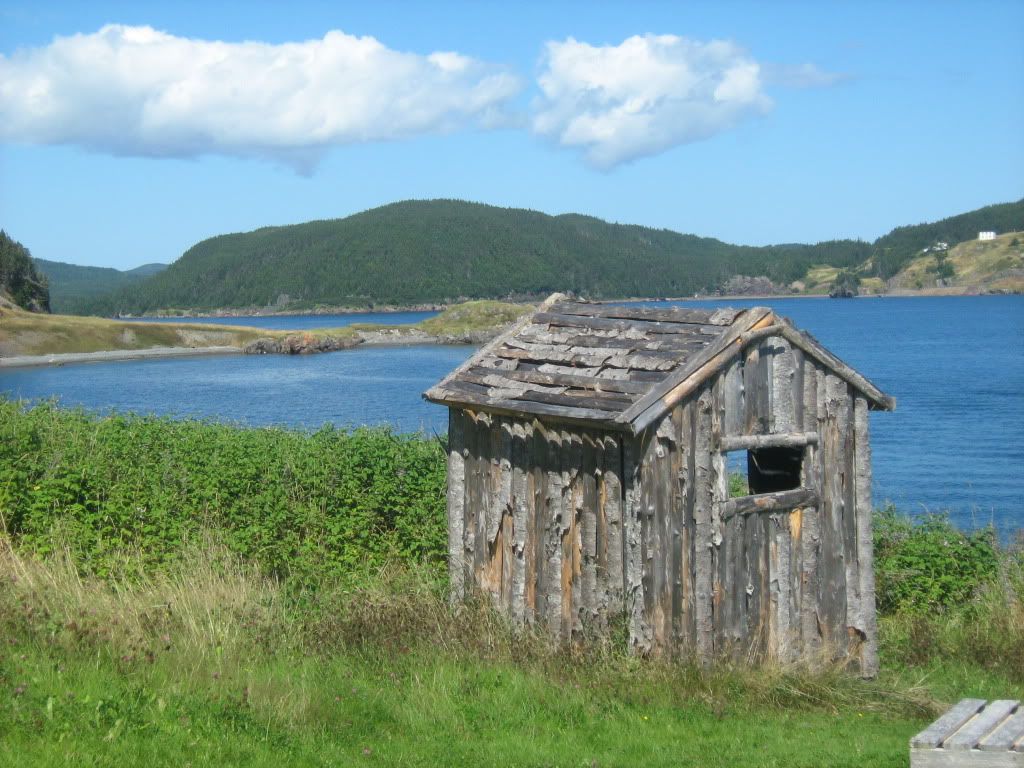
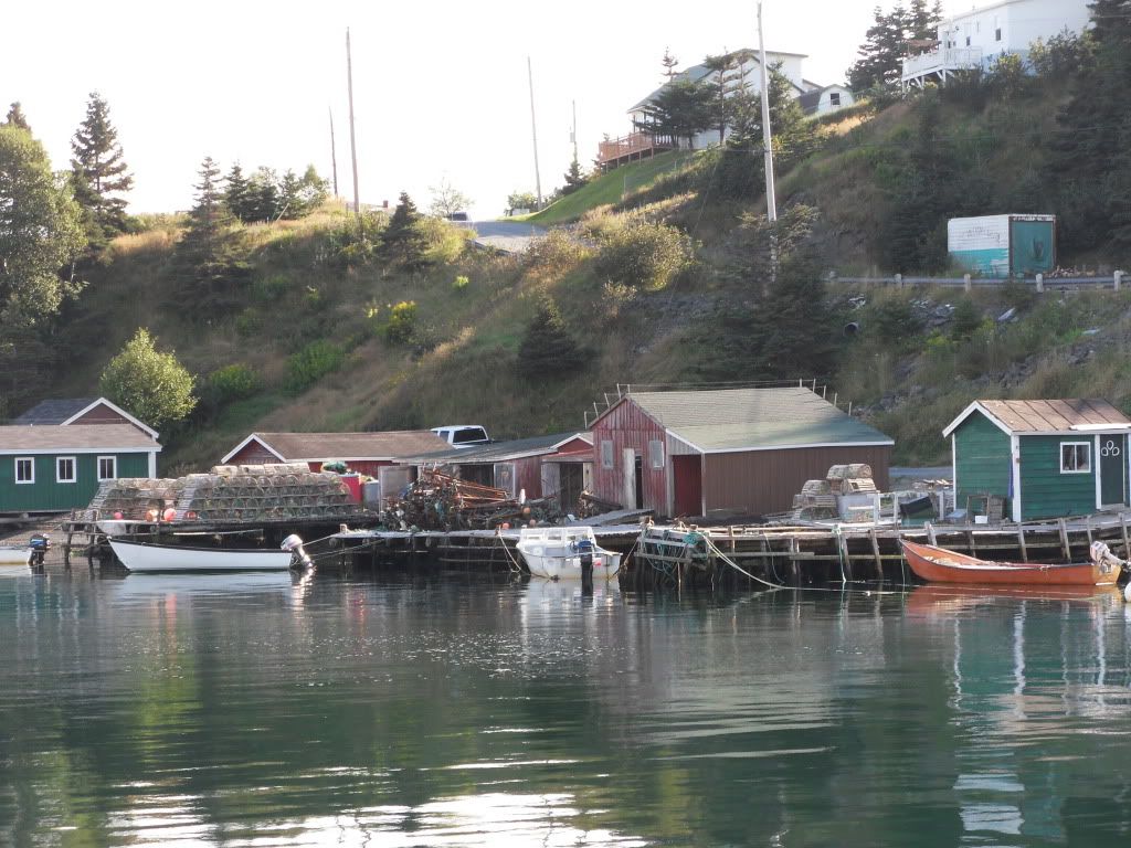
These old log fishing wharfs still exist in the working harbours. I expect they've been built like that for 400 years or more.
Trinity is a tourist town, with many Bed & Breakfasts. The town is preserved to look pretty much as it was at the turn of the last century, though considerably thinner -- two hundred fewer houses are there now, compared to its peak when the whaling factory was there. (They still do some fishing and mussel farming, but mostly out of Port Rexton, which is part of Trinity Bight.)
The Coast Guard sat in the Bight for a while that day.
The old Anglican Cemetery. The outports North of St. John's were settled and remained primarily English, which you could judge by the street names and the relative sizes of the churches.
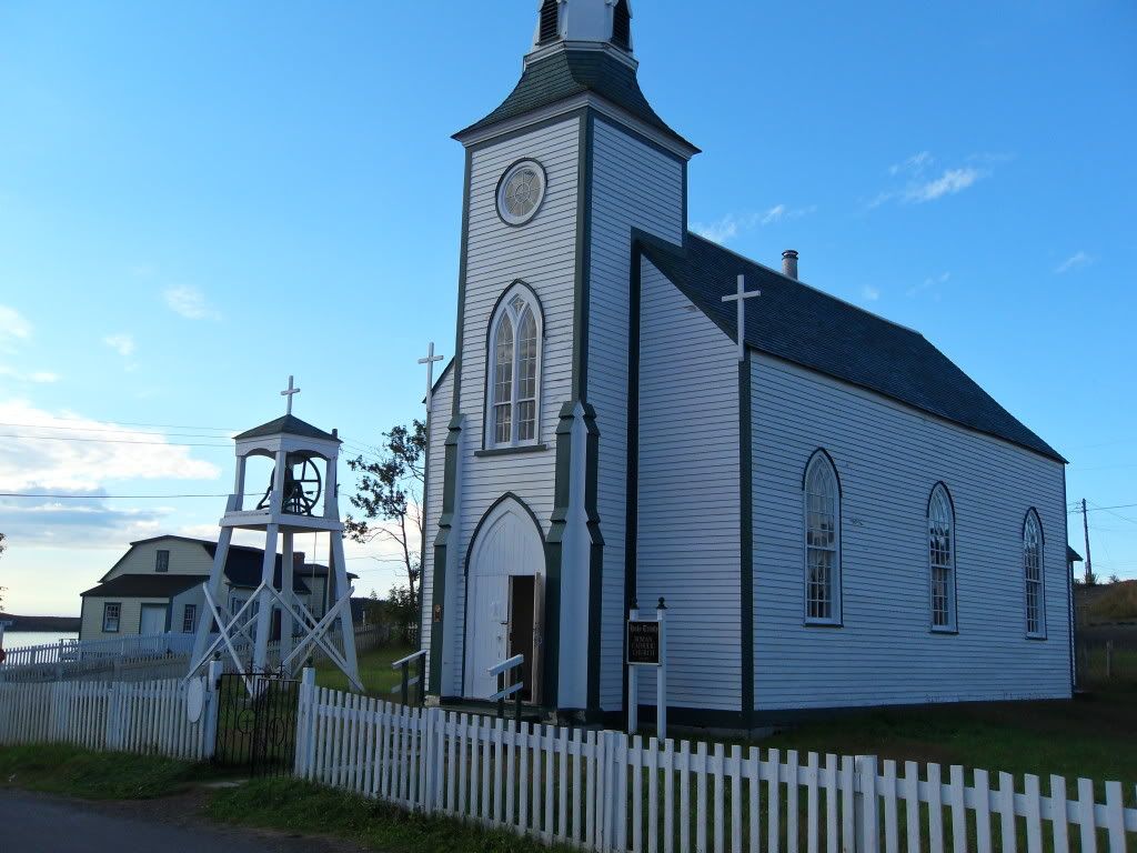
The Catholic church in Trinity, much smaller. It was, incidentally, the oldest wooden church on the island, built in 1833. There had of course been others in other places before it, but wooden churches have a tendency to burn.
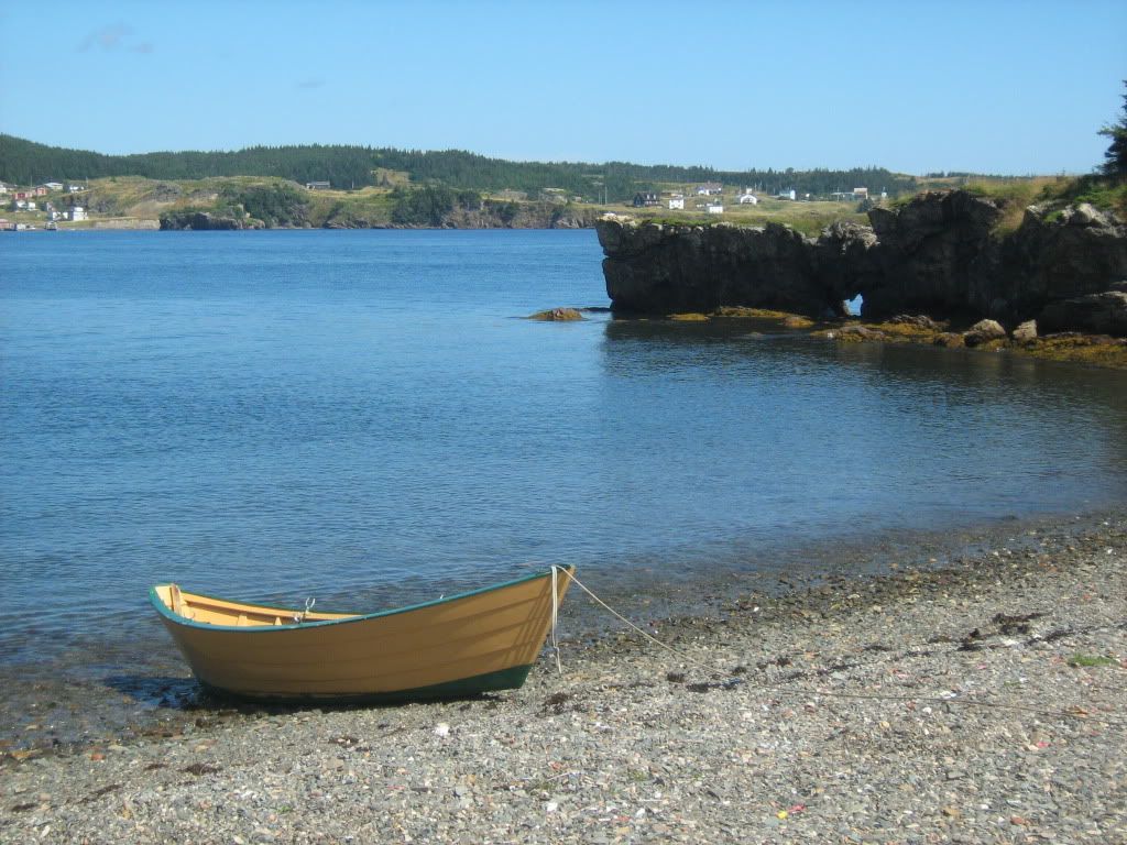
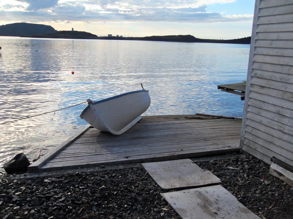
A dory on the strand.
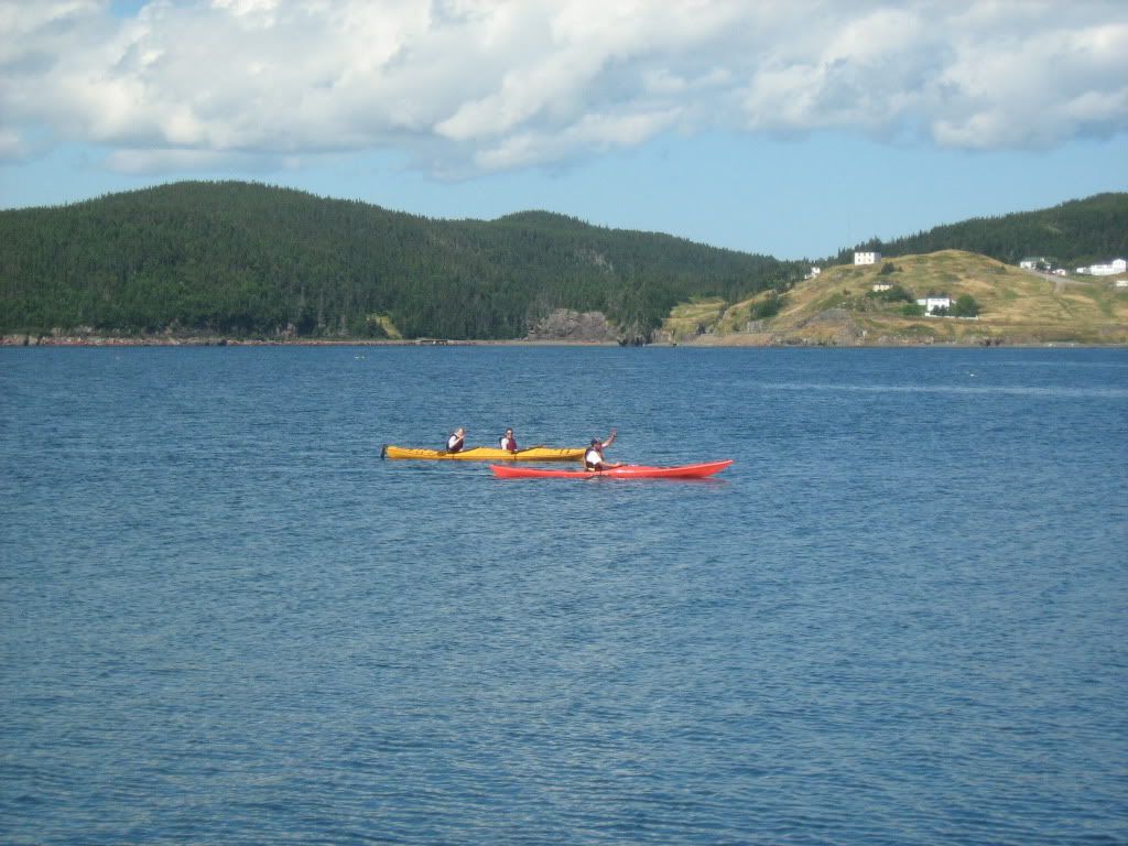
Kayakers, as seen from a sailboat.
Trinity East. The Newfoundlanders had a bad habit of naming different, nearby places the same.
The Money Rock, so named after a story about a pirate who kept his stash there.
The Trinity Lighthouse.
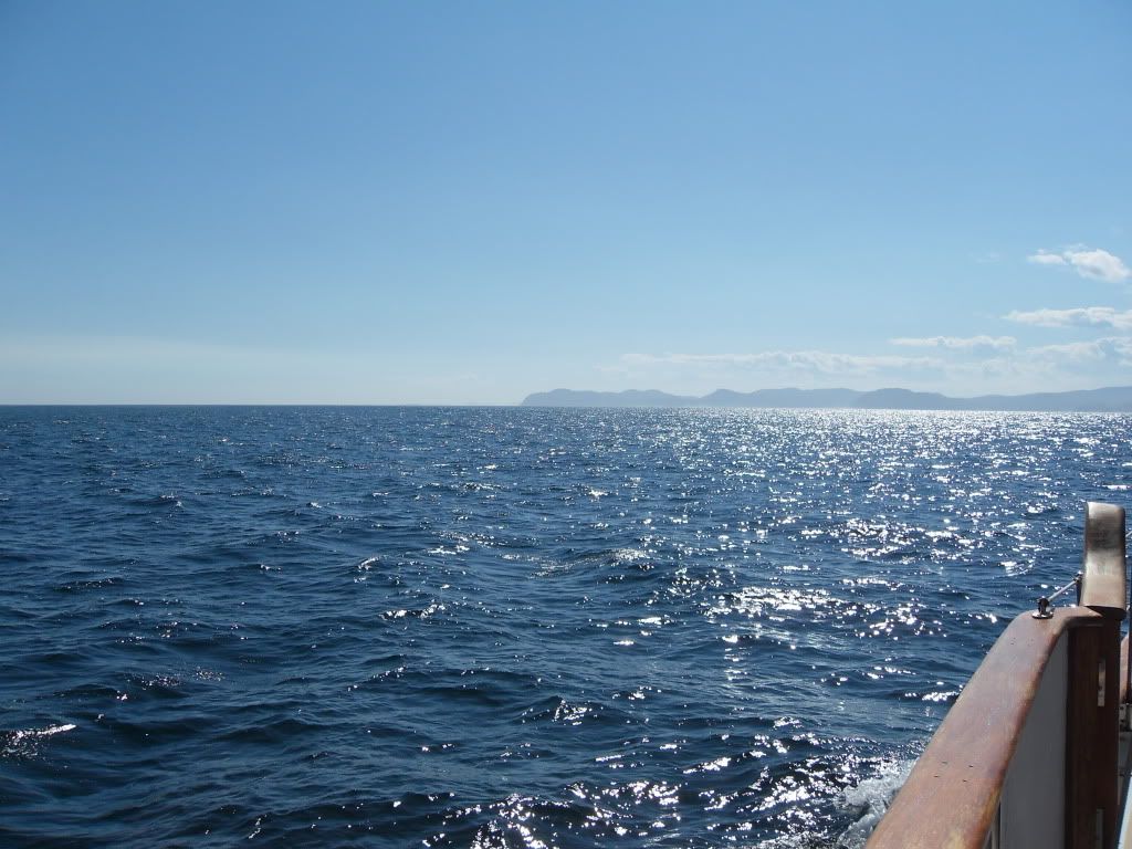
I'm on a boat! There were no whales that day. Some orcas had been in the bay a few days before, and chased the minkes off even if there had been many around so late in the year.
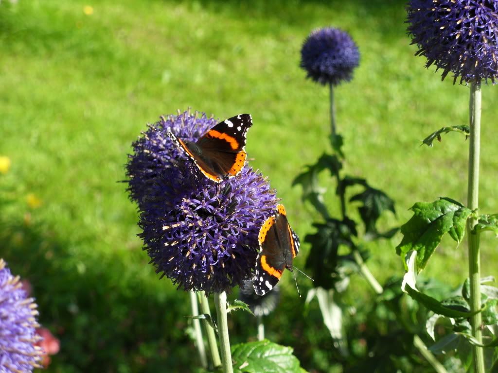
These orange and black butterflies were everywhere, but the particularly seemed to enjoy these flowers. There were about ten on the plant when we took pictures.
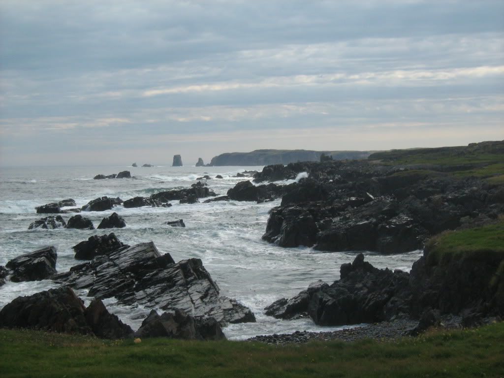
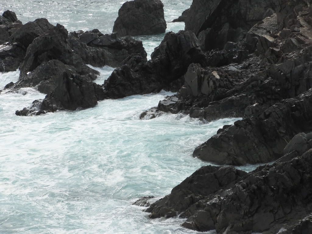
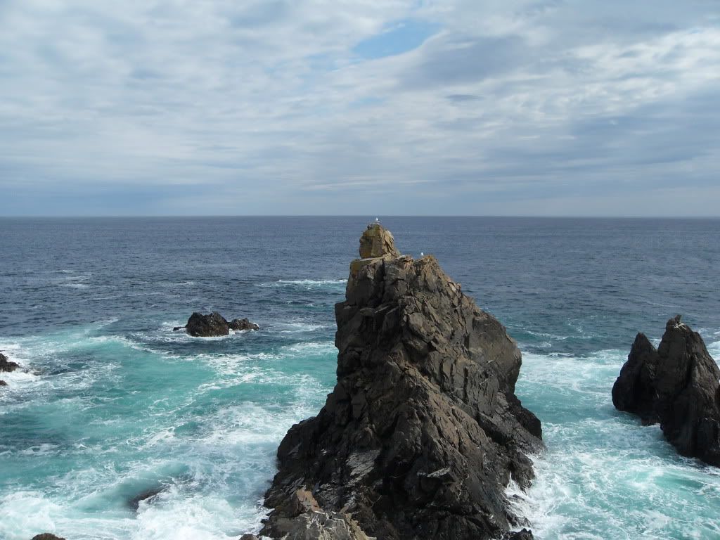
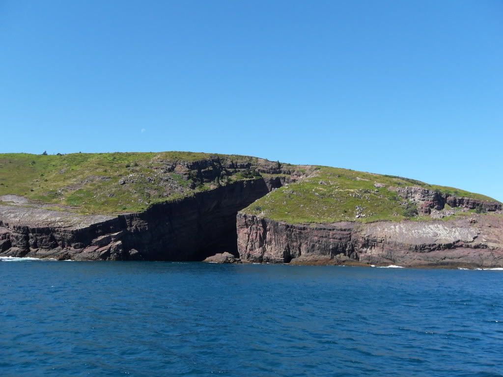
From Trinity we headed up to Bonavista. At the Cape there was a provincial park called The Dungeon, which is a system of sea caves further along the coast. We didn't get there because mom was worried about mucking up the rental car on the gravel road in, so we stopped and took pictures not far in. The view was great enough from there.
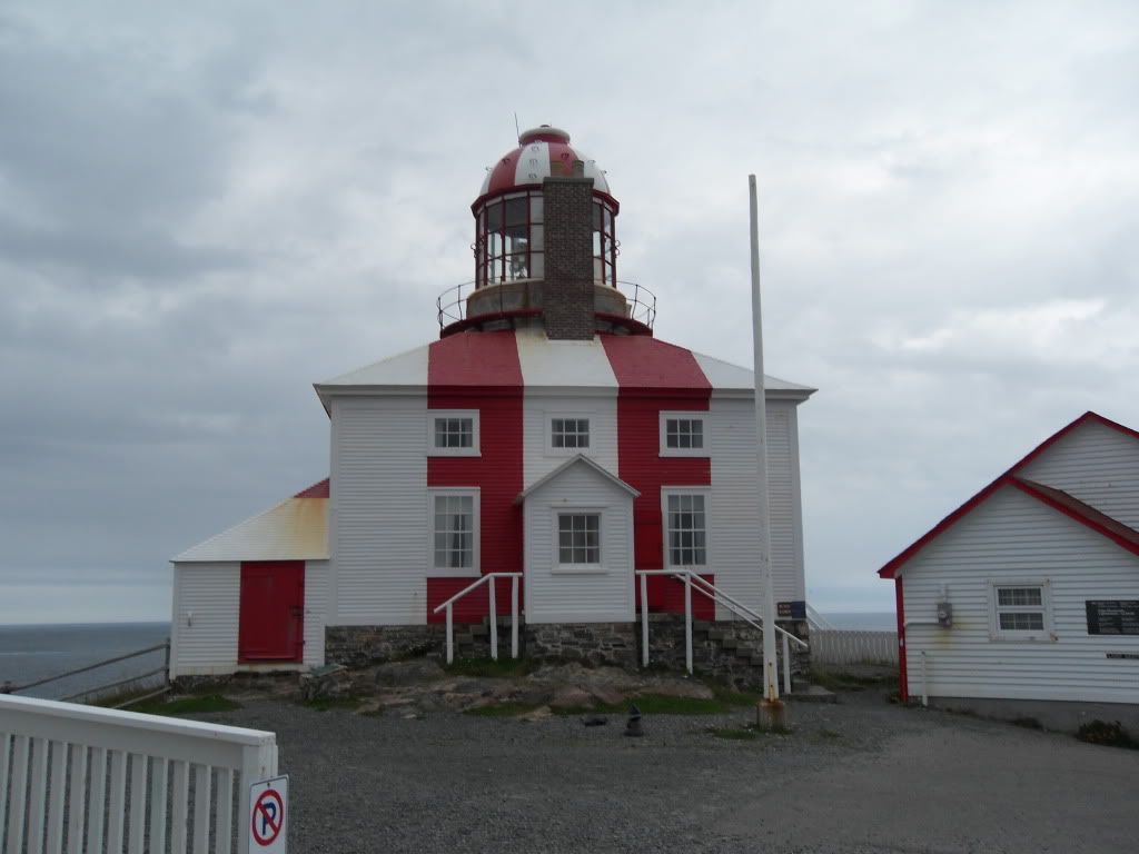
Cape Bonavista lighthouse, built in the mid-1800s. The house around it was restored to its historical contents, even up to the giant counter-weighted light. It was the keeper's job to hand-crank the 200lb weight back up ever 2 hours in order to keep the light turning.
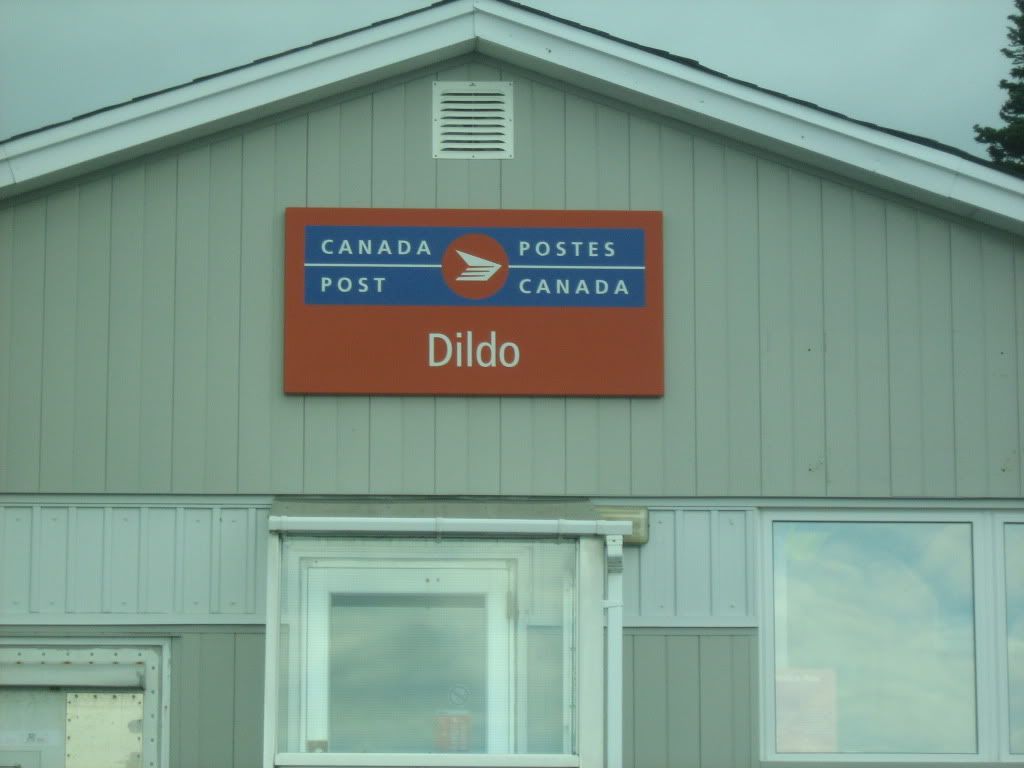
Yep. Dildo. We stopped there on our way from Bonavista down and across to out next stop. Because you can't NOT stop at Dildo.
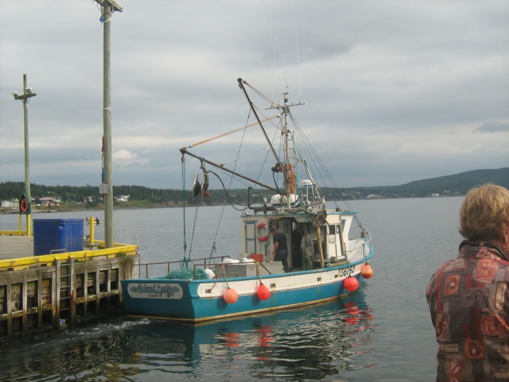
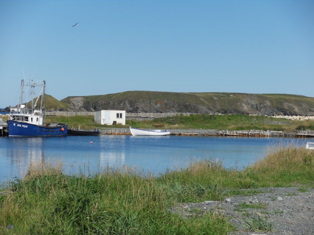
Dildo still has a small working harbour, thanks to a nearby fish plant.
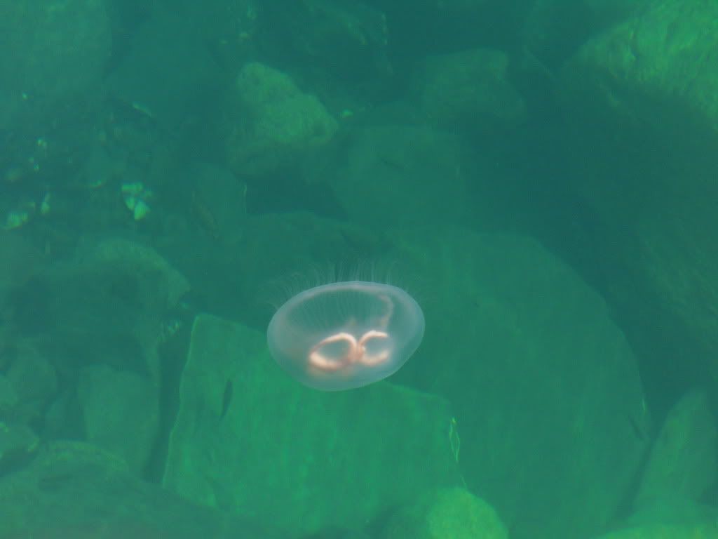
There were several jellyfish floating around.
Many lobster traps.
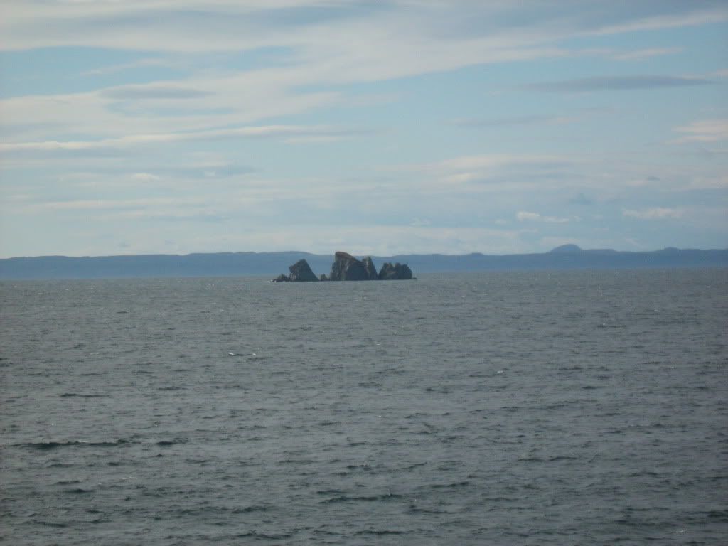
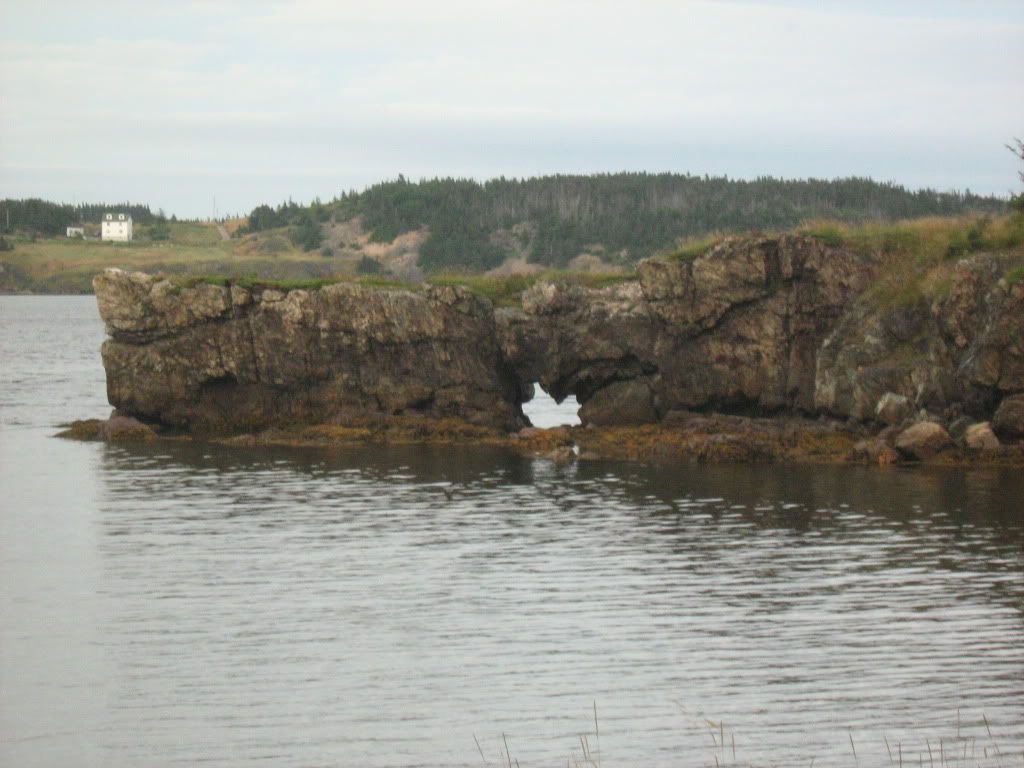
Shag Rock, just south of Dildo. Near Backside Park. Hee.
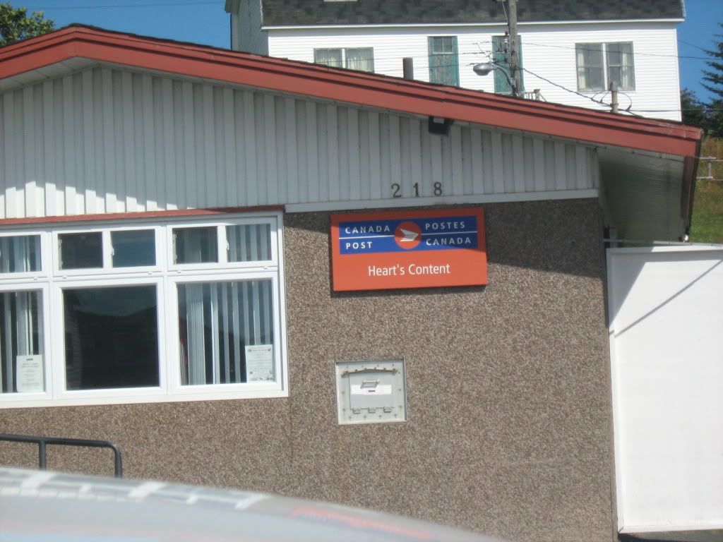
Up on that peninsula there are towns named Heart's Content, Heart's Delight and Heart's Desire, maybe after the English fishing boats that came there seasonally in the 1600s, or possibly for the shape of the harbour. Anyway, the original Newfies had a way of naming places.
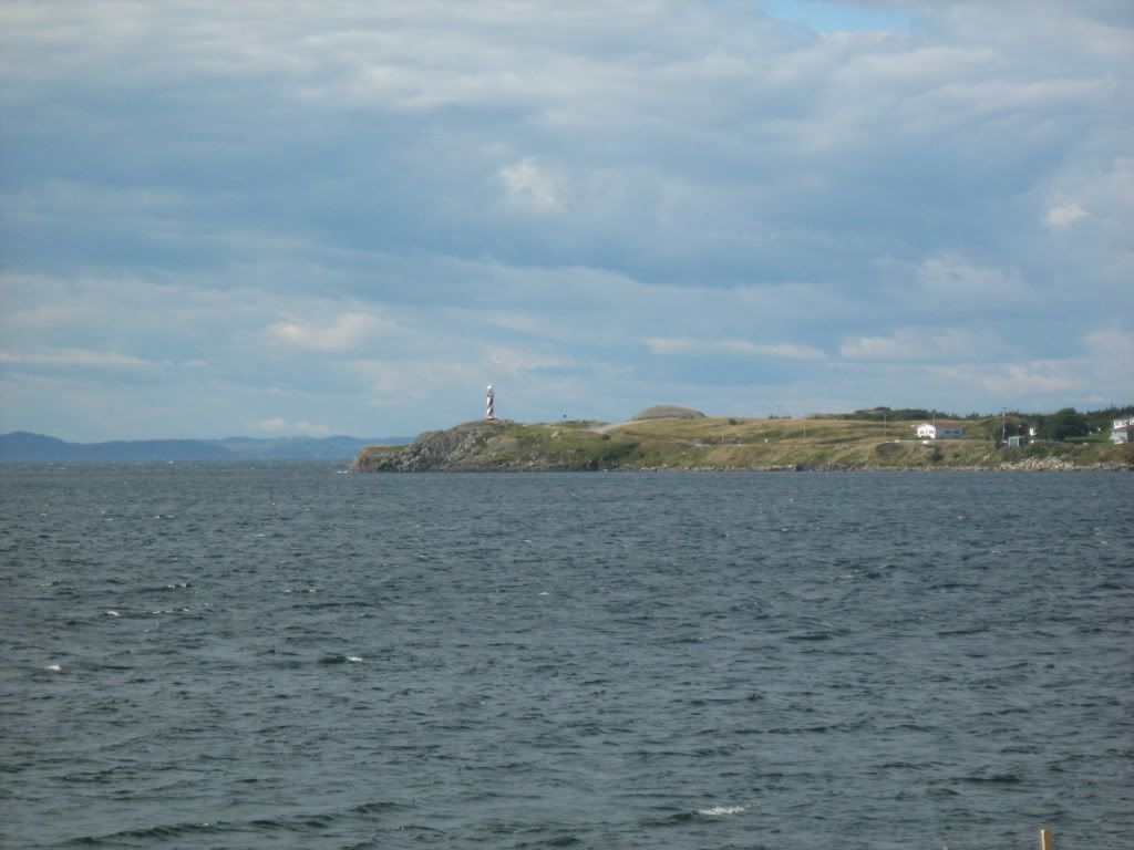
Heart's Content lighthouse.
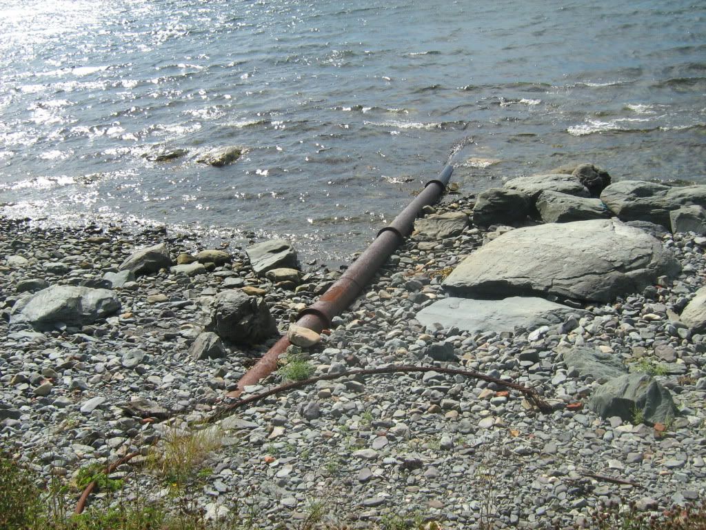
The end of a transatlantic telegraph line. First laid in the 1850's, it operated for over a century.
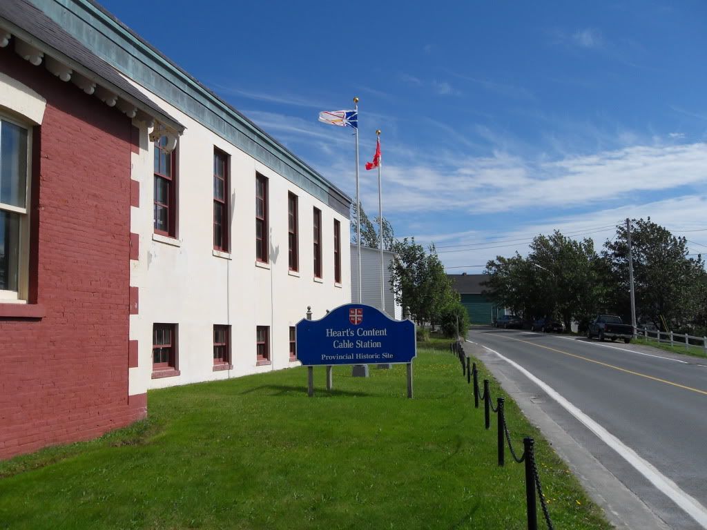
The Cable Station. The equipment inside was pretty cool. I later learned that an uncle of my grandmother's was a telegraph operator here, probably in the 20s.
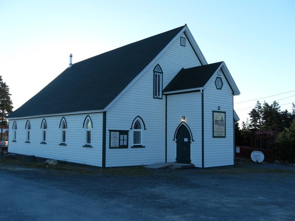
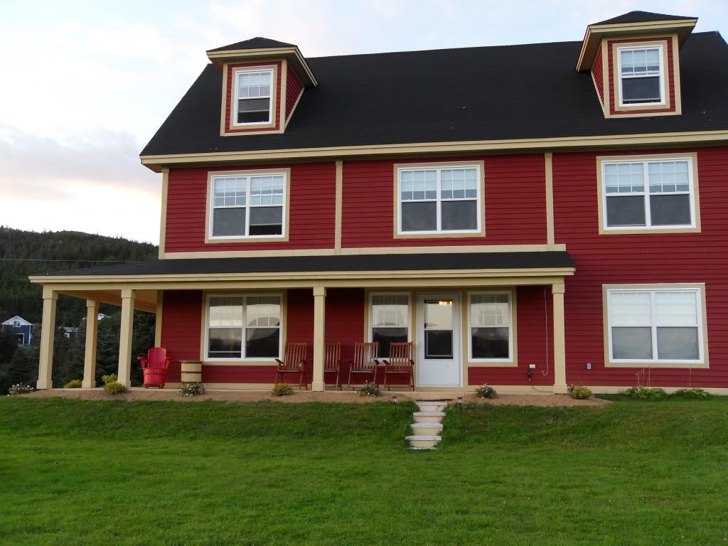
Our next stop was Cupids, a tiny place celebrating its 400th anniversary of settlement. We stayed in this converted Anglican Church.
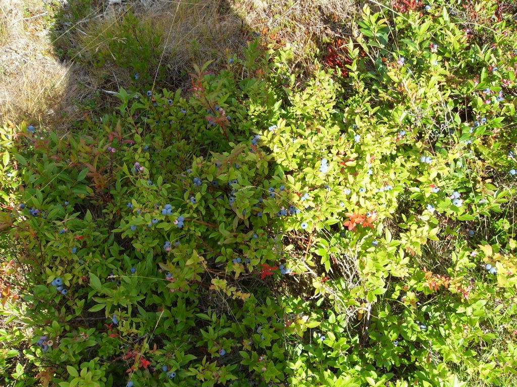
Blueberries grow wild everywhere on the island, but were especially abundant at Cupids. We were fortunate to be there for the height of berry season -- in addition ot the blueberries, there were partridgeberries and bakeapples (cloudberries... idek why the Newfies call them bakeapples, but they do.)
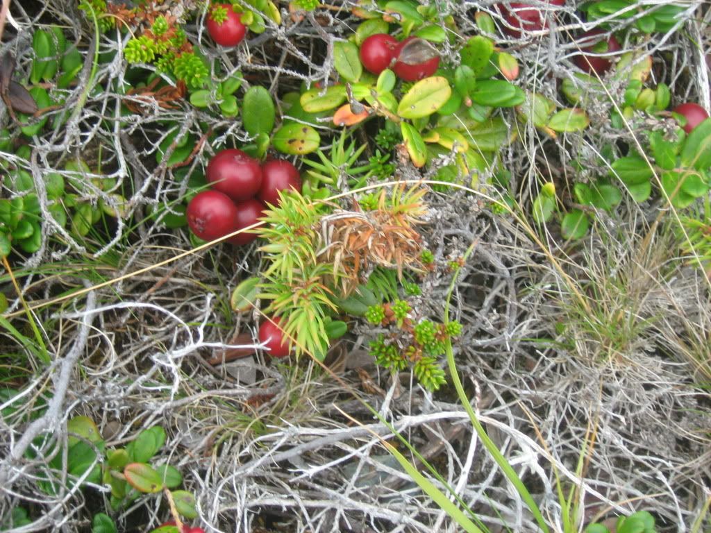
Partridgeberries. They are a lot like cranberries, very tart.
In the walking trails beyond the church, you could find the sites of resettled outports. This used to be a village called Deep Gulch. The stones are were there were foundations or root cellars. In the 50s and 60s the government moved people to "growth centres" and removed the outports from the map. Many people picked up their ancestral homes and floated them down the bays on rafts.
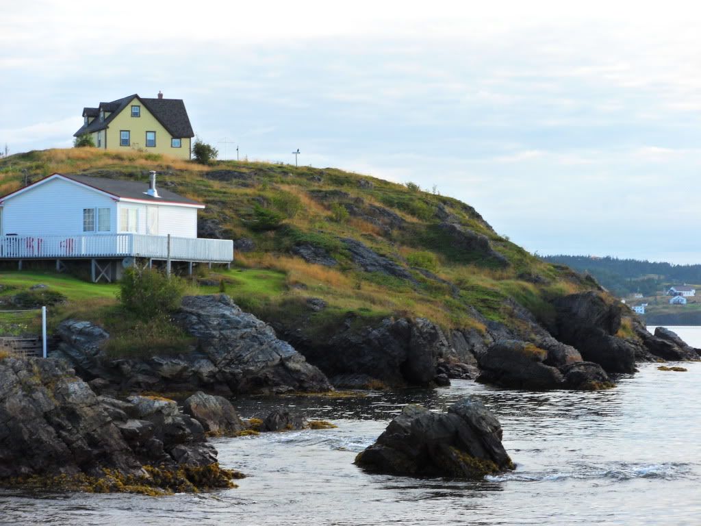
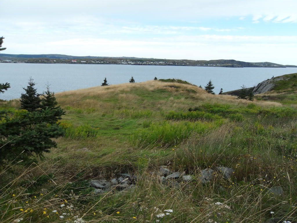
Burnt Head, near the former village of Noder's Cove.
Hawthorne Cottage, an historic house in Brigus, a town near Cupids. A few generations of the Capts. Bartlett lived here, including Bob Bartlett, who conveyed Peary to the Arctic.
Brigus.
From Cupids and Brigus we drove East to Bay Bulls and stayed at the Inn above, called The Bread & Cheese. If you're ever going to Newfoundland you should totally stay there.
Sunset in Bay Bulls.
The remnants of the old U-Boat net that stretched across the mouth of the harbour.
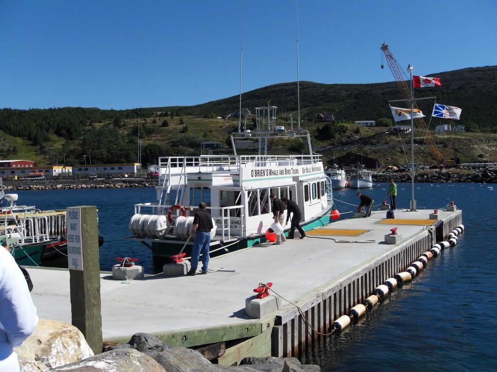
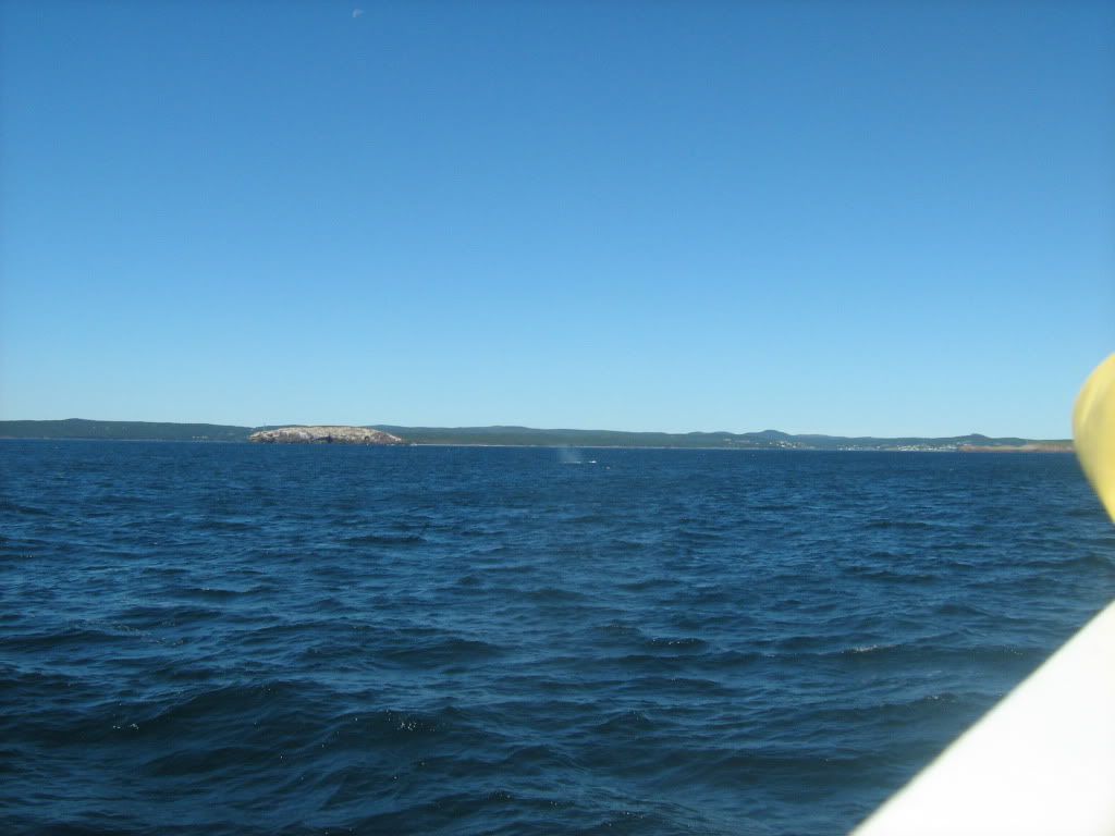
The boat we took out to see the whales and puffins. Just a km south of Bay Bulls is Witless Bay, the site of an ecological reserve of five islands where the puffins make their burrows in summer.
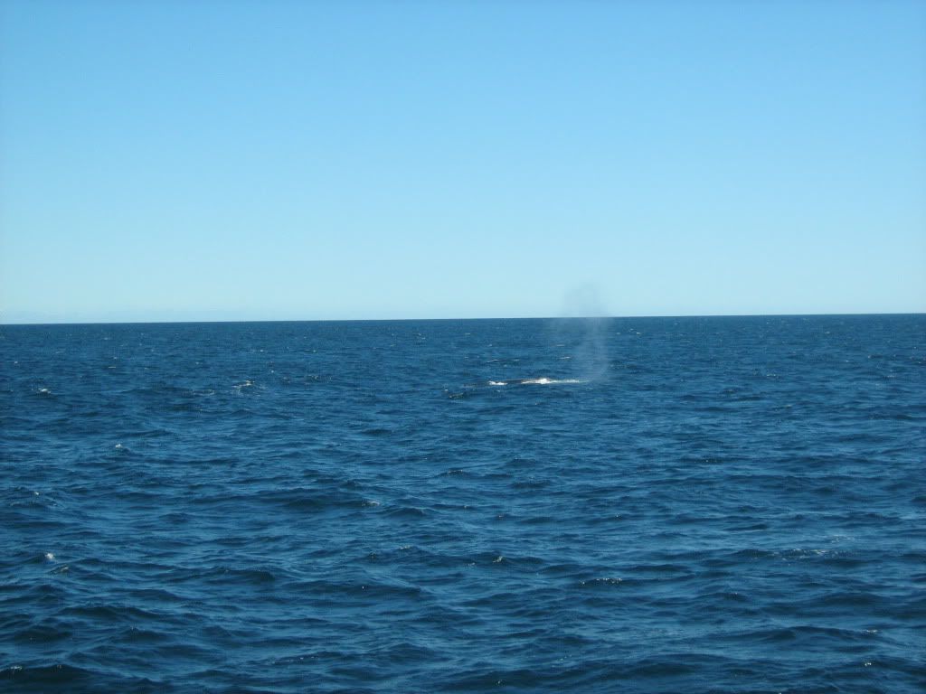
A fin whale spout. We saw a group of them, lucky so late as September 1st, and doubly because they are endangered and often too speedy to be seen well by boat. They are the second largest kind of whale, after the blue. This fellow came quite close to the boat.
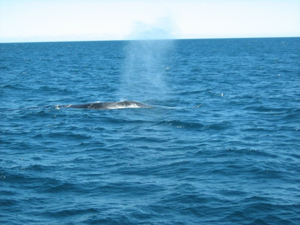
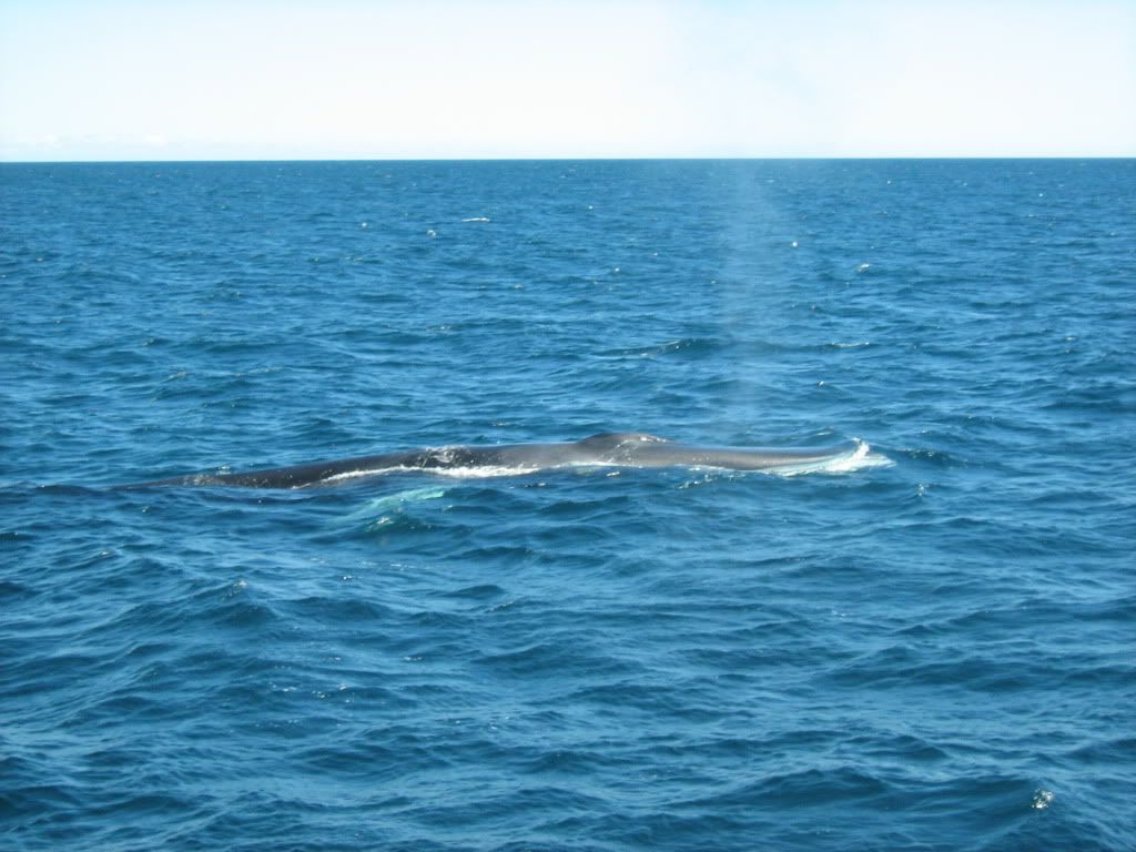
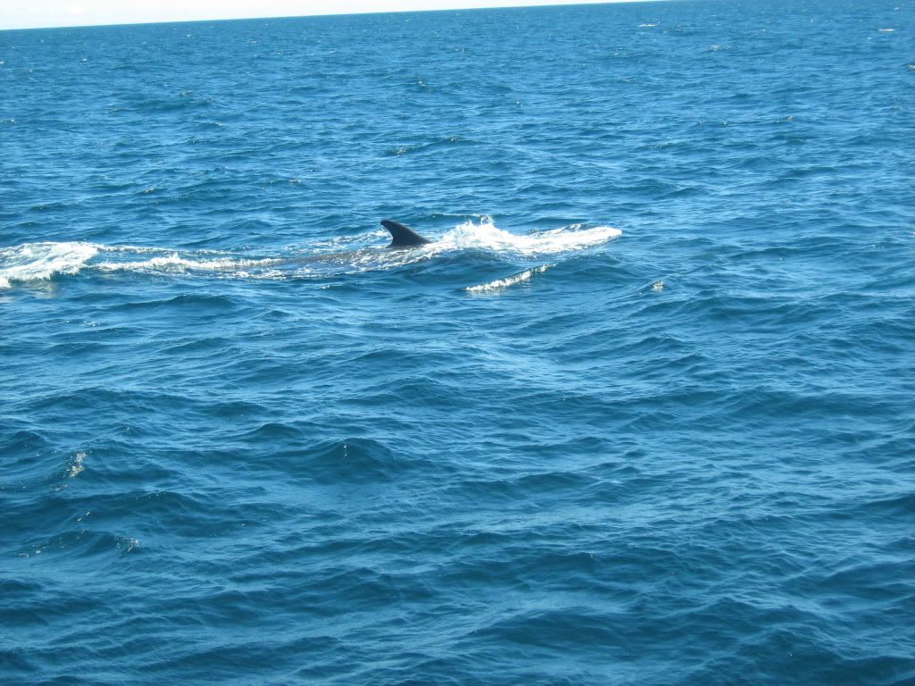
Evidently he decided we were not as interesting as eating, and went on a dive.
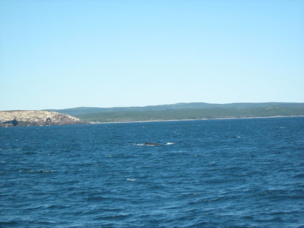
A humpback spout. The boat guide's mind was blown that we should see not only so many fins but two species so late. Most years, they would have already gone south, but maybe the warm summer kept them around.
The humpback diving. Their dorsal fins are smaller.
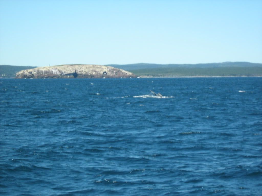
The tips of his tail. The fins don't raise their tails to dive, so the humpbacks are more fun to watch.
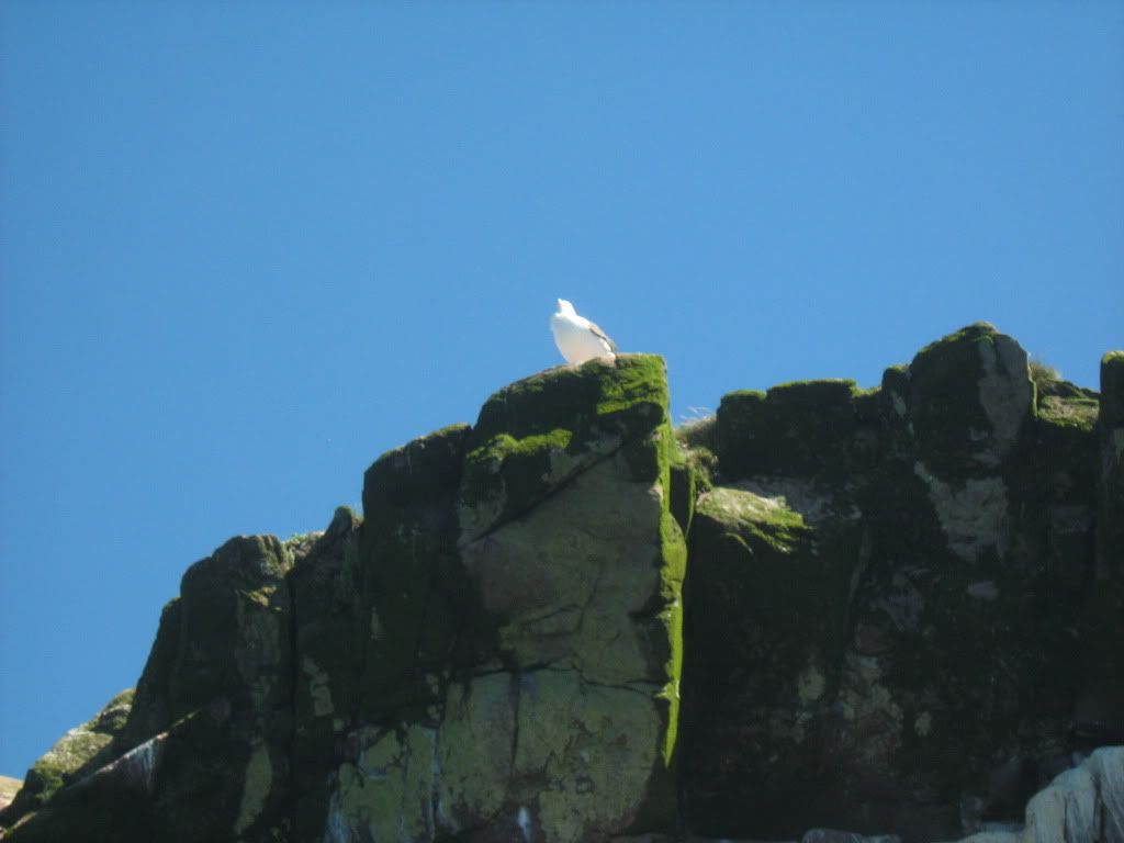
A kittiwake, probably waiting to mug a puffin for his fish.
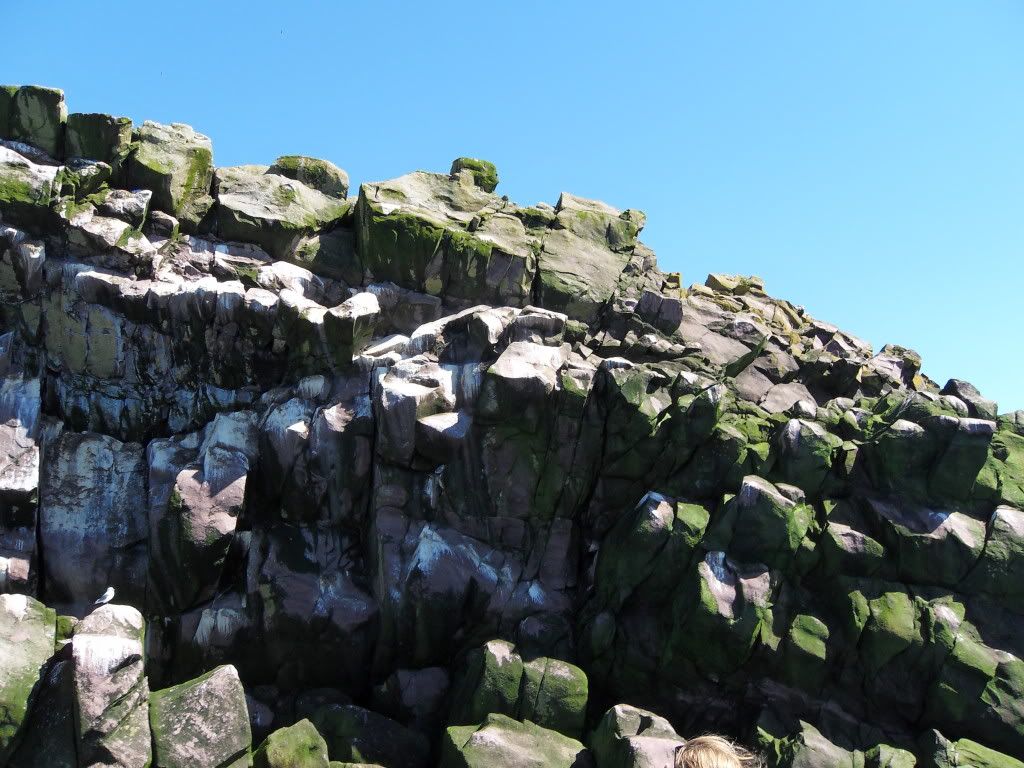
The rocks on Gull Island.
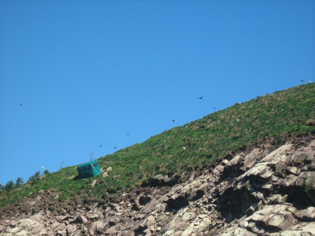
Puffins flying to their burrows. They have to go in fast, since the kittiwakes will shake them to make them drop their capelin, and the big black backed gulls will simply eat the puffin. You can see the gulls staking out the burrows.
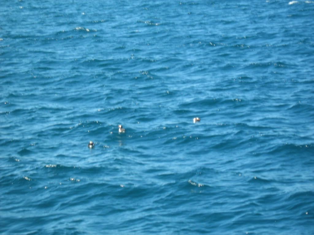
A blurry shot of puffins on the water. Quoth the guide: "Your puffin's perfect for the provincial bird, since just like a Newfoundlander he's not the swiftest, but he's some cute."
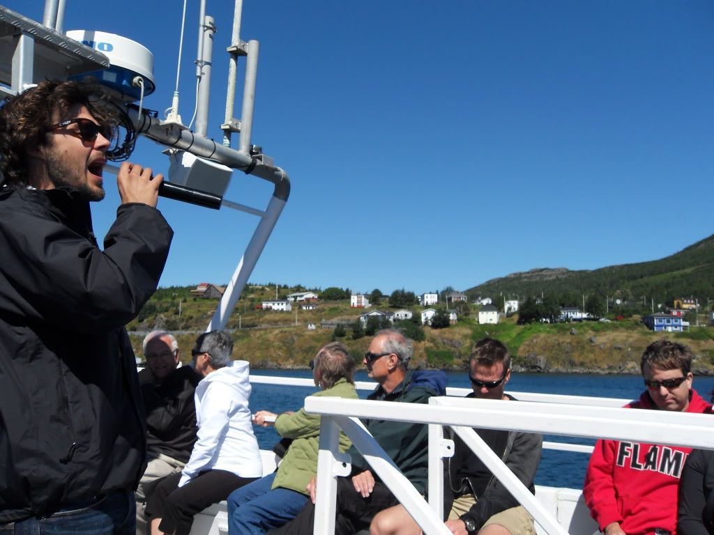
Our guide singing us into the harbour. Stan Rogers, no less.
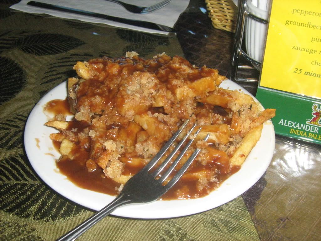
What I like to call Newfie Poutine. Fries, dressing and gravy, om nom nom. Excellent accompaniment to battered cod.
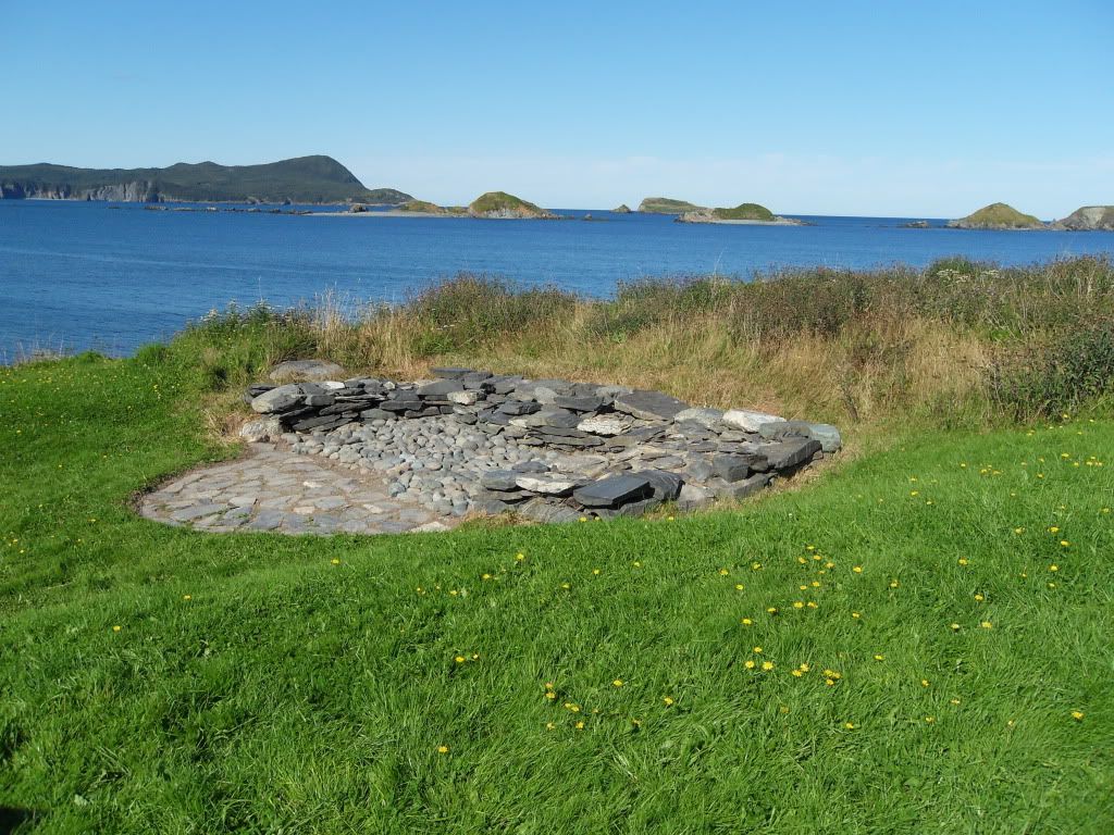
After the whales and the lunch, we went down to Ferryland, the site of the Colony of Avalon archaeological dig. Out on the strand there are the pretty well-preserved remains of a village settled by Lord Baltimore in 1621. The colony was attacked and burnt out by the French in the 1690s, and remained to be found in 1991. Lord Baltimore, you may have guessed, wound up in Maryland.
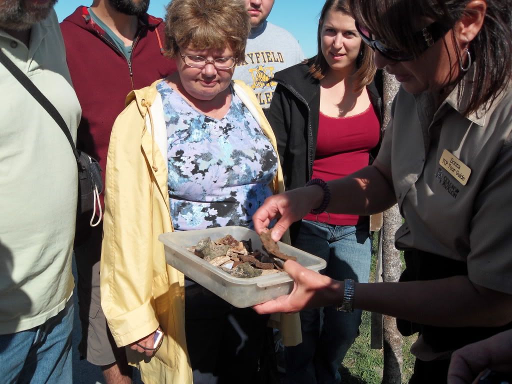
The guide showing the tour group a few things dug up that afternoon. Mostly broken glass and pieces of clay pipes -- everybody, including the children, smoked.
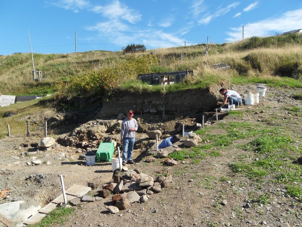
The current dig site, below were a modern house was sitting until about a year ago, when the family sold it to the archaeological trust.
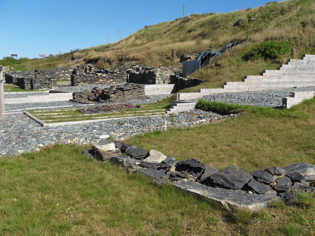
The buildings uncovered so far. The hearths and foundations stand as they found them.
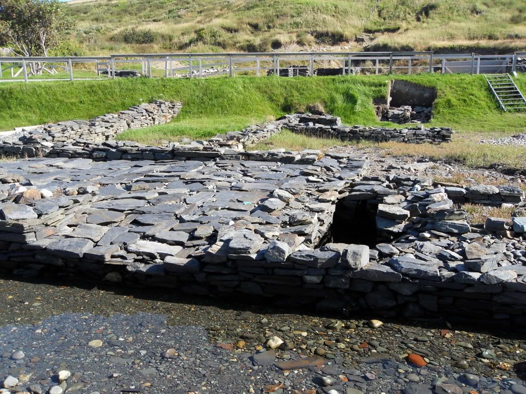
The floor of the harbour warehouse, and the hole where the common privy was. The tide would come in and wash it out, making it a 300-year-old flush toilet.
The hearth of a planter's house.
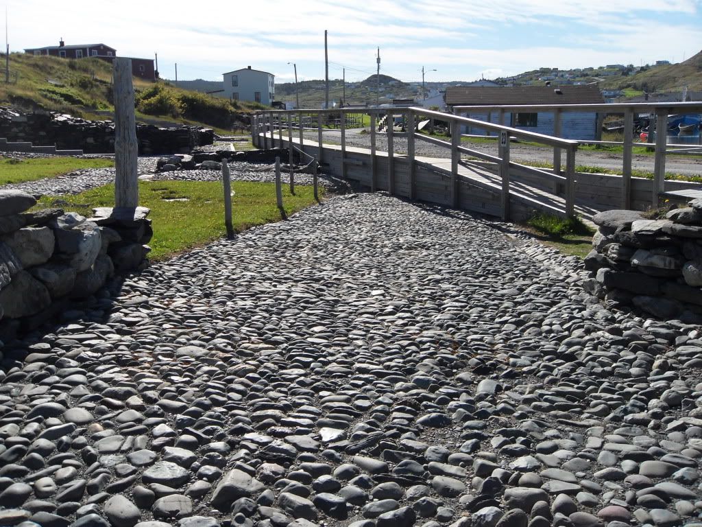
The cobblestone road, which extended to where the white house sits now.
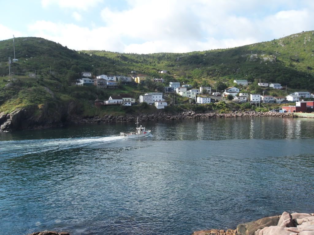
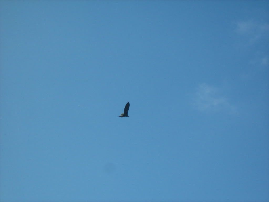
After Ferryland and Bay Bulls it was time to go back to St. John's. On the way, we stoped at Petty Harbour to have a look around.
A bald eagle flew over, sending every gull in the place into a fit (and there were many gulls, since Petty Harbour still has a cod fishery.)
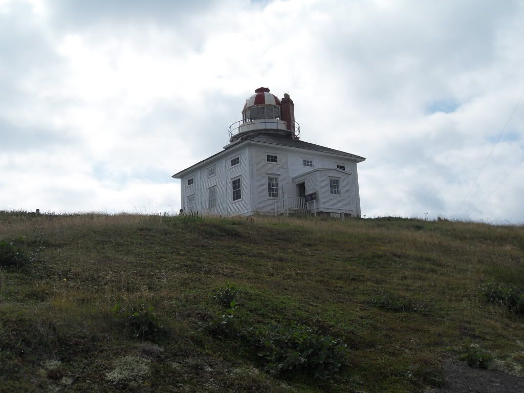
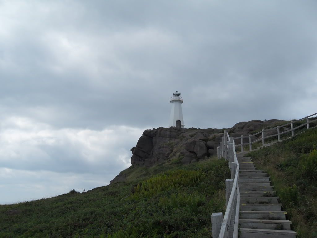
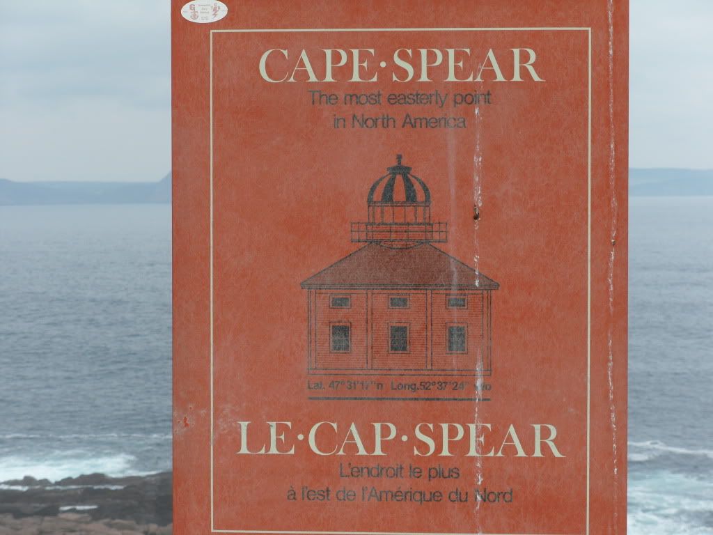
From there we went to Cape Spear, which is the most eastern point in North America, and one of the approaches to St. John's. This lighthouse was built in the 1830s, and operated by the same family for about 150 years.
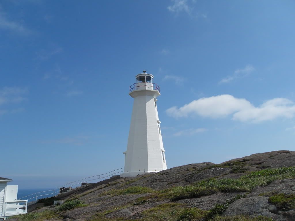
The current Cape Spear lighthouse, built in 1955.
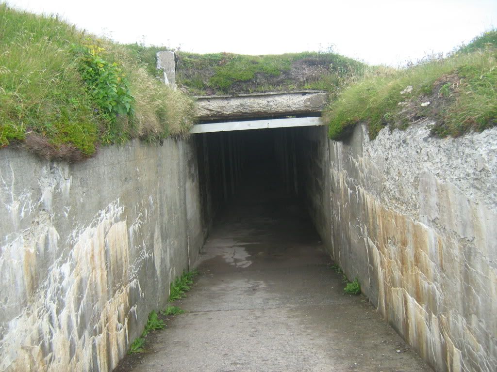
The tunnel leading to the WWII gun battery, one of three that defended St. John's.
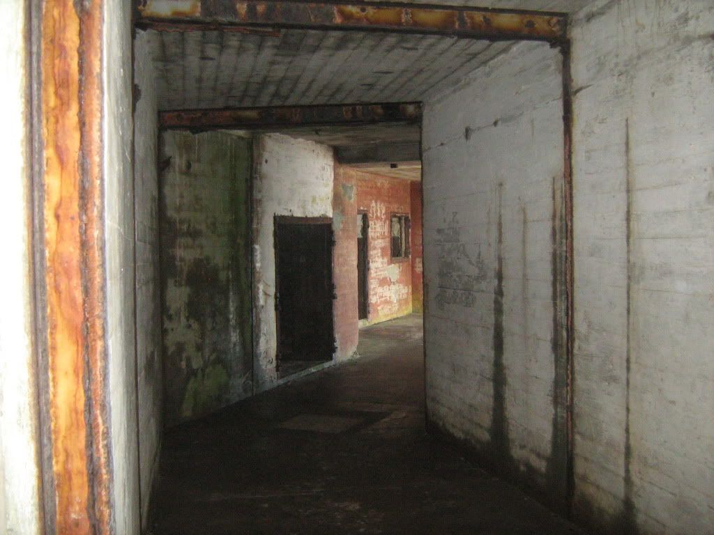
The passage leading to the gunroom and the ammunition rooms.
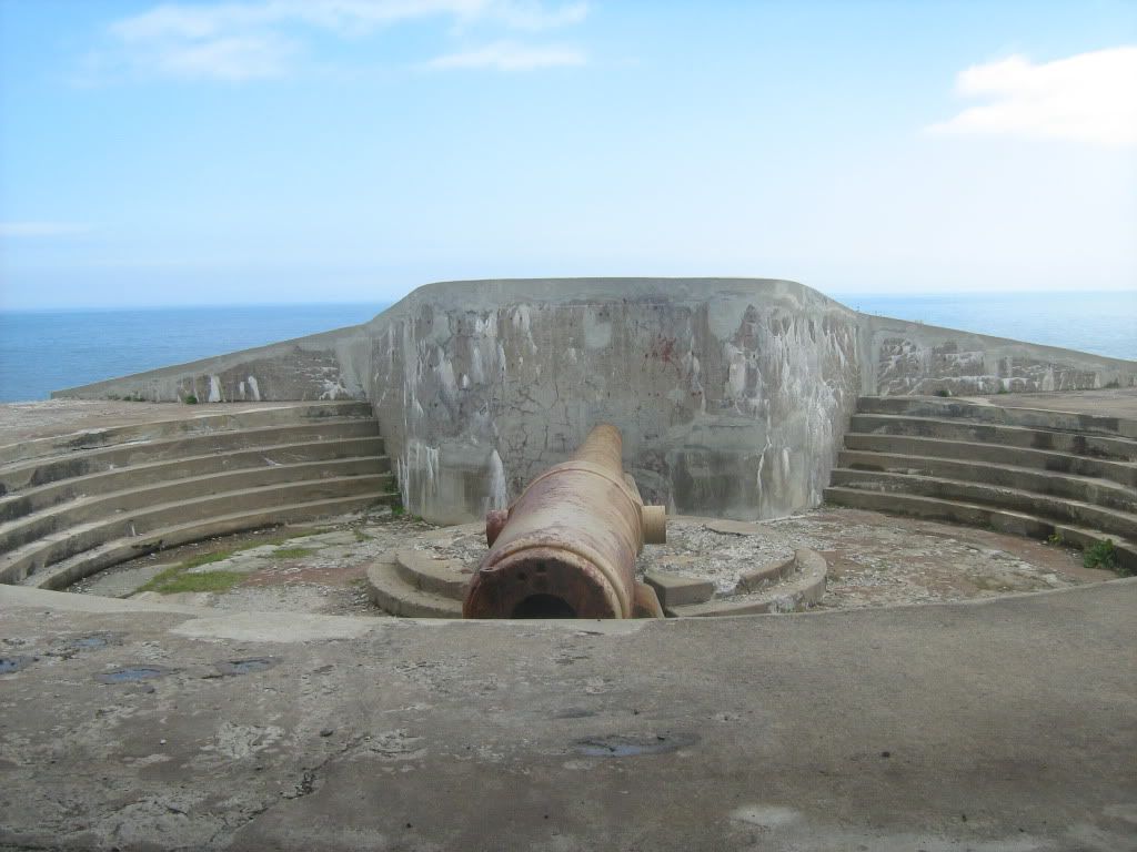
The gun turret and "disappearing" gun. The gun was mounted on a counter-weighted carriage that would swing the barrel up and over the concrete barrier to fire. The recoil would carry it back down to be loaded, and hiding it from any ships. They built dummy guns further down the hill to draw any return fire. Fortunately, they never had to use these guns.
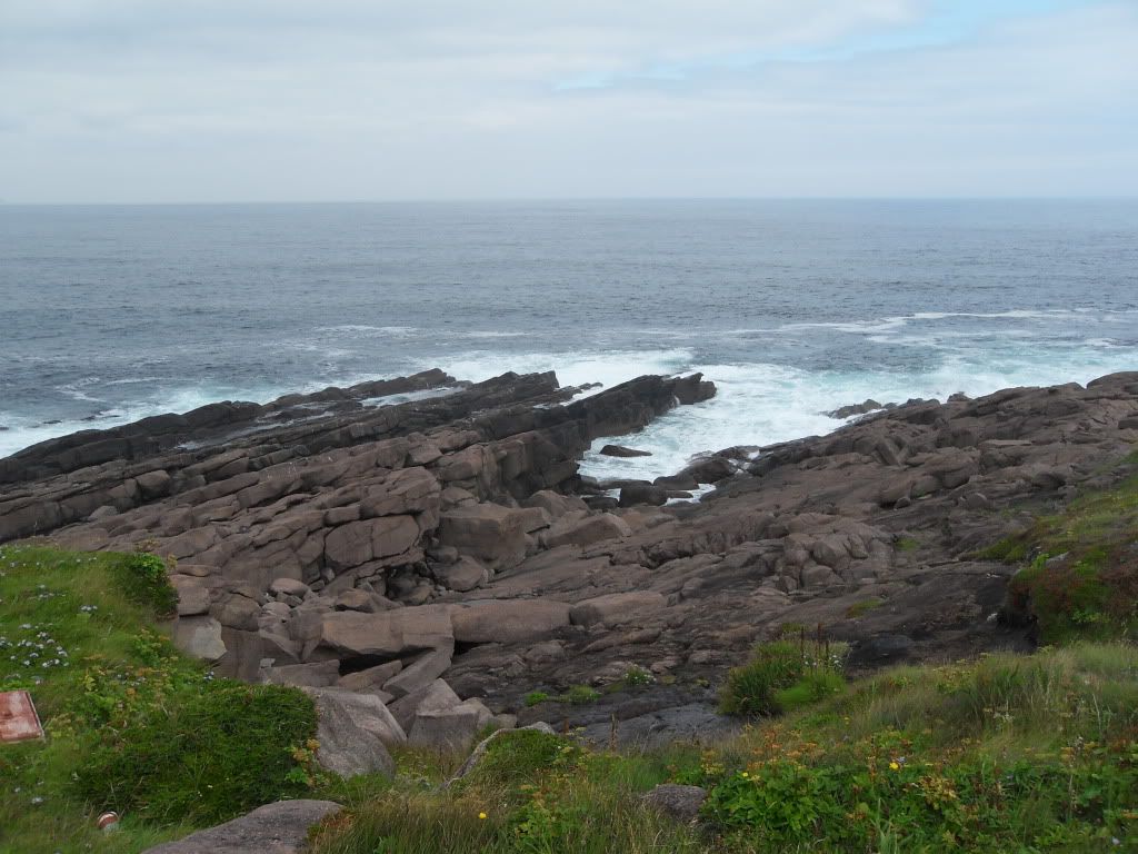
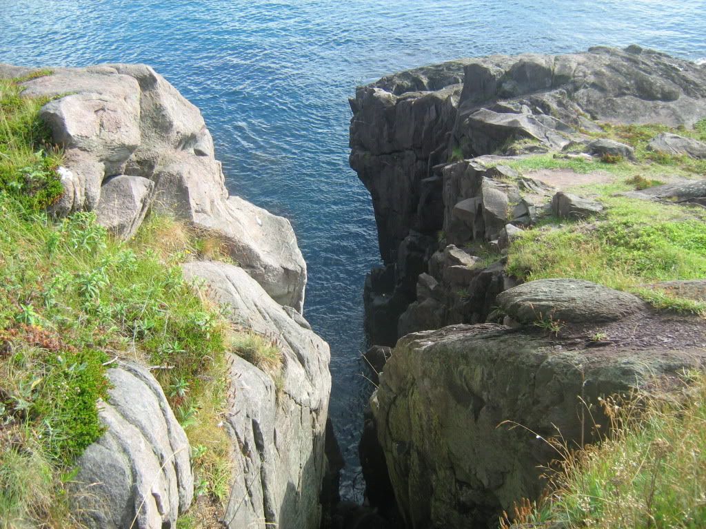
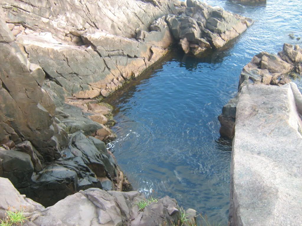
The rocks were the true most eastern point, but even on a calm day like we had you had to be a bit crazy to climb out there. Eight people have drowned at the Cape, that they know of.
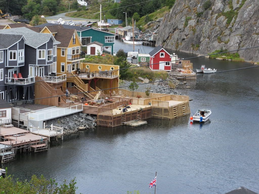
Back in St. John's, we went up to Quidi Vidi, a small village on the northern outskirts that my great-grandmother apparently mentioned a lot. Every summer it is the site of a Regatta, held on the lake not far away. We would have been in NL for that if not for the Alien Baby Reschedule.
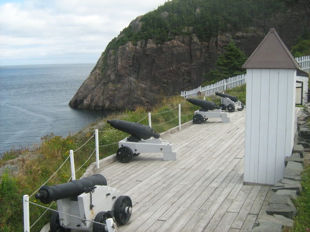
The Quidi Vidi Battery, one of dozens the British used to defend the coast and from anybody (French, Americans) sneaking into St. John's from behind.
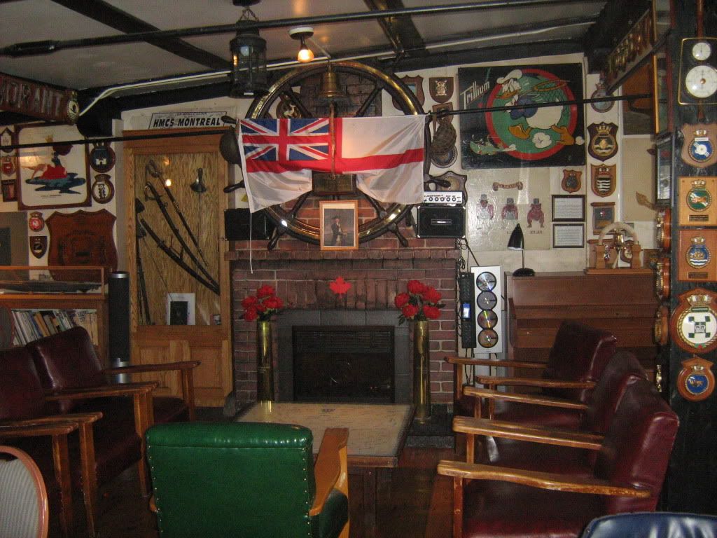
The Crow's Nest, Sea-Going Officers' Club, founded in 1942. A lot of awesome memorabilia, a crest for every Canadian ship in service, and original gun-shield art (the square paintings).
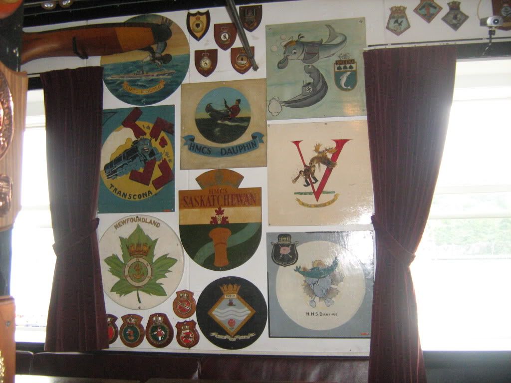
Note the Mountie riding the U-Boat. Heh.
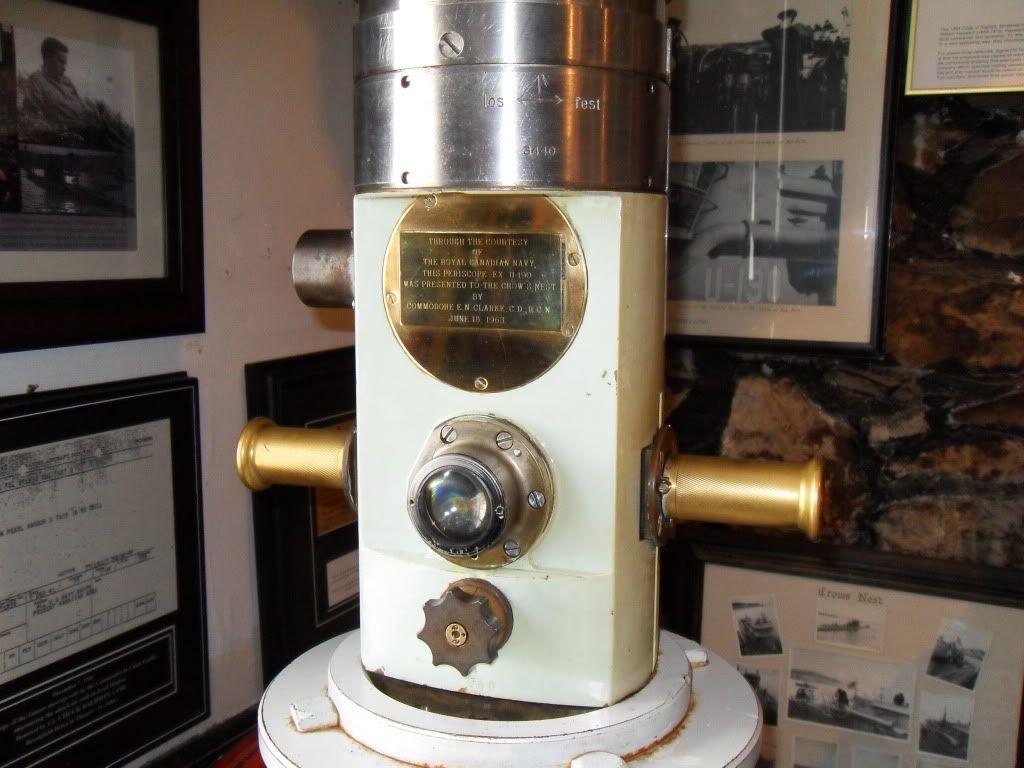
The periscope of U-190, which surrendered at Bay Bulls. You can look over the tops of the buildings with it.
One last look at St. John's.
The End!
We were sad to go, but it was a good trip altogether and staying any longer might have ruined it. Fortunately Hurricane Earl didn't cause the east island any grief, and our flight to Toronto was easy. I also got to watch Bruce McDonald's film This Movie Is Broken, which a) had lots of rad footage of the Broken Social Scene concert I attended in July of last year and b) had unexpected boykissing. If you like BSS at all I highly recommend it (if you do not like BSS, it's half concert movie and might bore you. You can fast-forward to the good parts. Ahem.)
We began our trip in St. John's, the second largest city in the Atlantic provinces, with a whopping 120,000 people. The hills are steep and the houses are colourful. My maternal grandmother, great-grandmother, great-greats and so on all grew and lived in a small patch of Old St. John's.
Above is the Basilica of St. John the Baptist, a great big cathedral that was built in the 1850s and expanded throughout the years. A great aunt of mine was with the convent there, with the Sisters of Mercy, before moving to a New York convent of the same order.
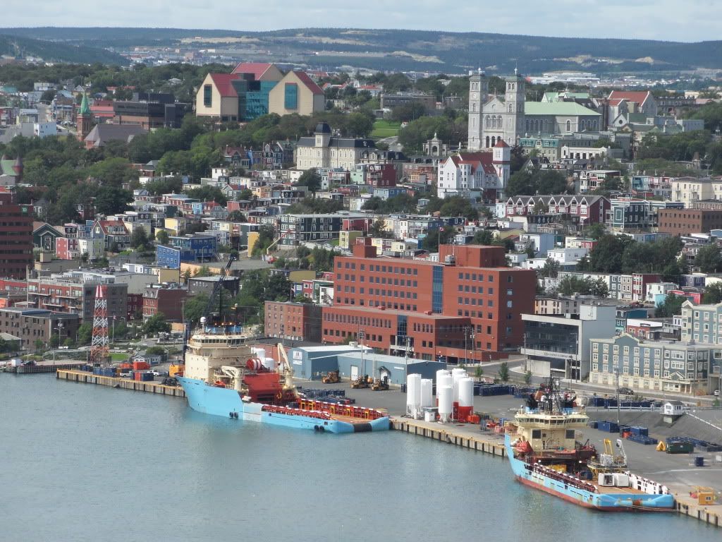
The view of the harbour from The Rooms, which is a combination museum, art gallery, and archives. My mother and I did some genealogy up there, with some success.
Our research lead us the next day to the Belvedere Cemetery, the old grounds for the Basilica parish where more than a few of my ancestors are buried.
Somewhere back in the old sections of this cemetery, my great-great grandmother is buried, but the cemetery is huge and the older stones hard to read. Some of the plots are fully engulfed by rose bushes or trees, and the maintenance is hampered by the iron and concrete barriers everywhere.
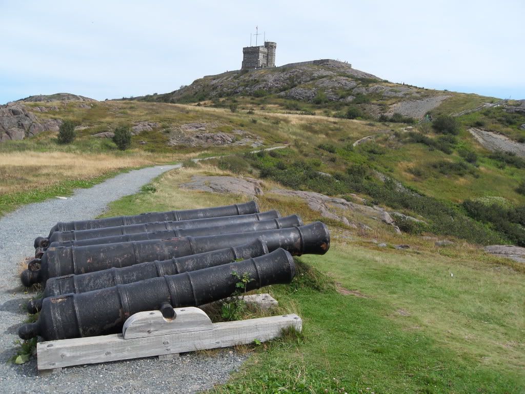
Then we went up to Signal Hill, one of the headlands guarding the Narrows and a Provincial Historic Site where Marconi made his transatlantic wireless transmissions, and where the harbour was defended with guns for hundreds of years up until the end of WWII. The hikers in this pic were locals who did the walk almost daily.
Cabot Tower, were the signals are put up for ships approaching the harbour, and where the wireless station was housed.
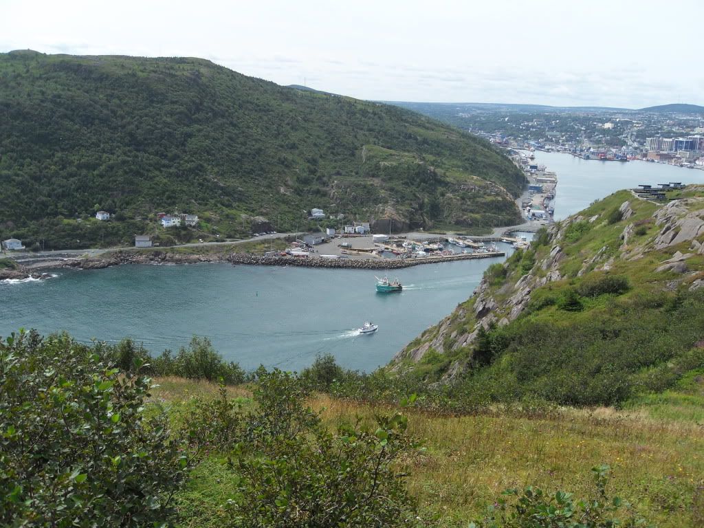
Fort Amherst, across the Narrows.
The old Queen's Battery guns.
\
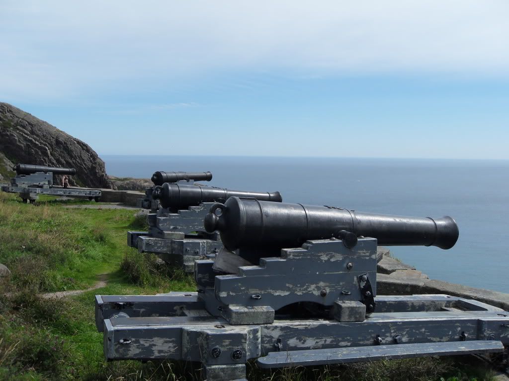
The "new" Battery -- swivel-mounted cannon.
The view into the harbour.
Signal Hill signpost.
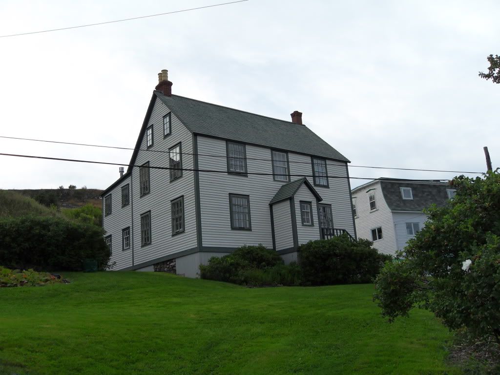
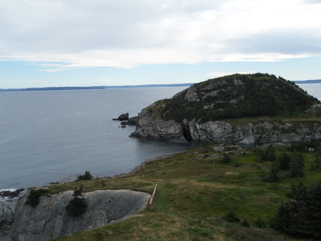
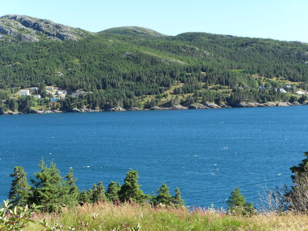
From St. John's we drove 3.5 hours to go to Trinity, Trinity Bay, an historic town just Northwest of the Avalon Peninsula. Though some tourists try, you would need a LOT of time to tour the whole of the island. Gros Morne and L'Anse-aux-Meadows are a full six hours from St. John's, driving non-stop. We stuck almost entirely to the East, on the Avalon except for Trinity.
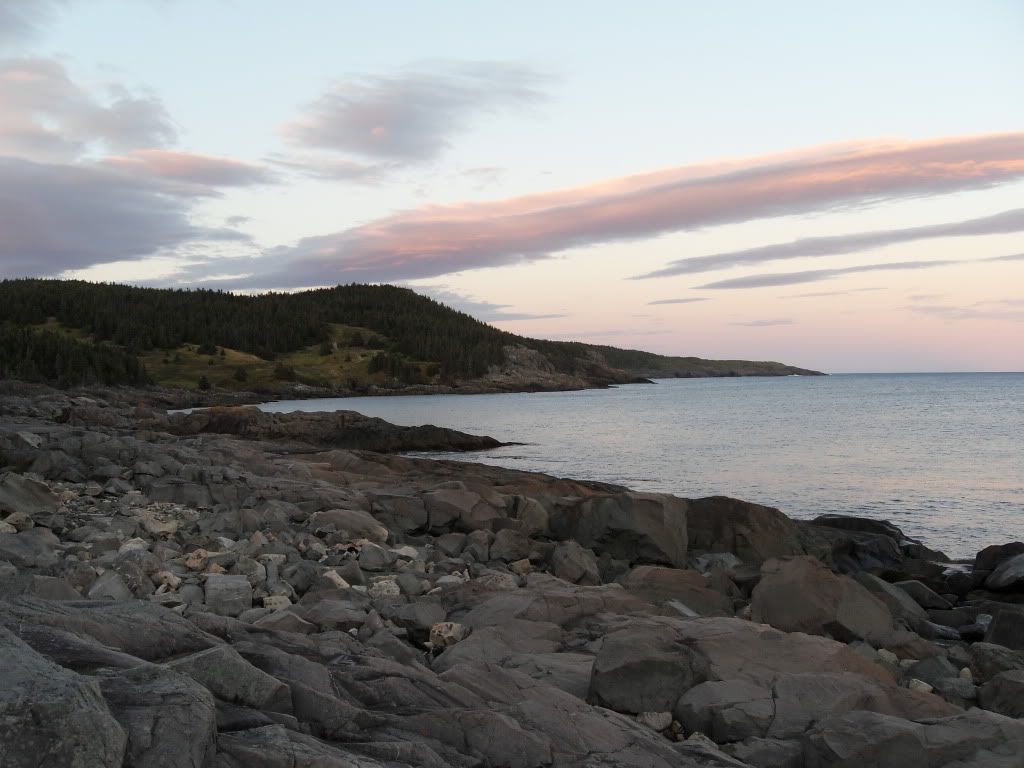
The very southern tip of Trinity Bay, near Clarenville.
Our first night in Trinity, we had a great sunset.
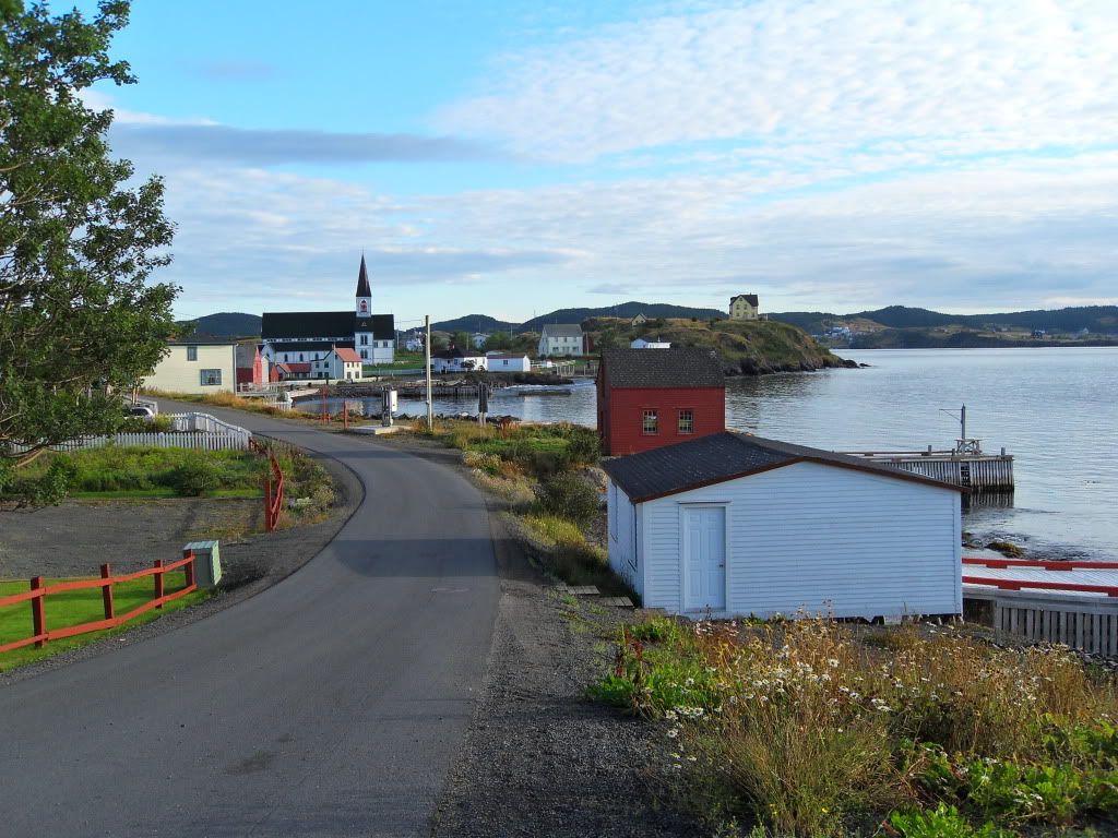
These old log fishing wharfs still exist in the working harbours. I expect they've been built like that for 400 years or more.
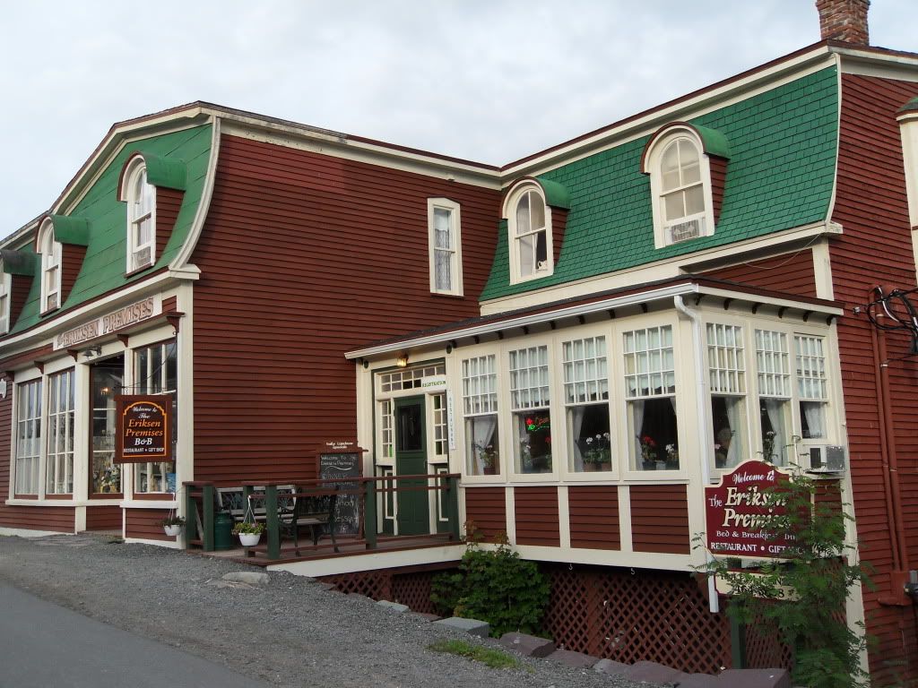
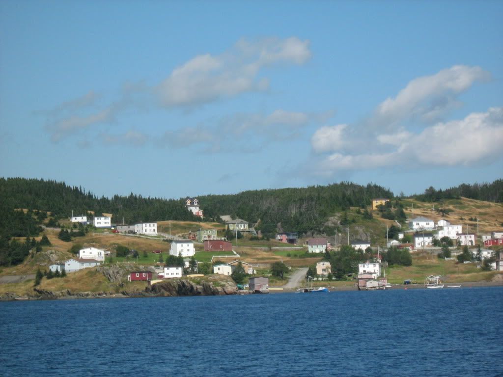
Trinity is a tourist town, with many Bed & Breakfasts. The town is preserved to look pretty much as it was at the turn of the last century, though considerably thinner -- two hundred fewer houses are there now, compared to its peak when the whaling factory was there. (They still do some fishing and mussel farming, but mostly out of Port Rexton, which is part of Trinity Bight.)
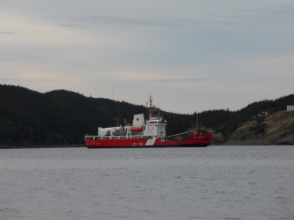
The Coast Guard sat in the Bight for a while that day.
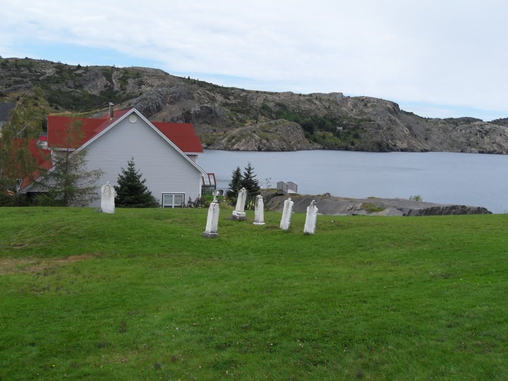
The old Anglican Cemetery. The outports North of St. John's were settled and remained primarily English, which you could judge by the street names and the relative sizes of the churches.
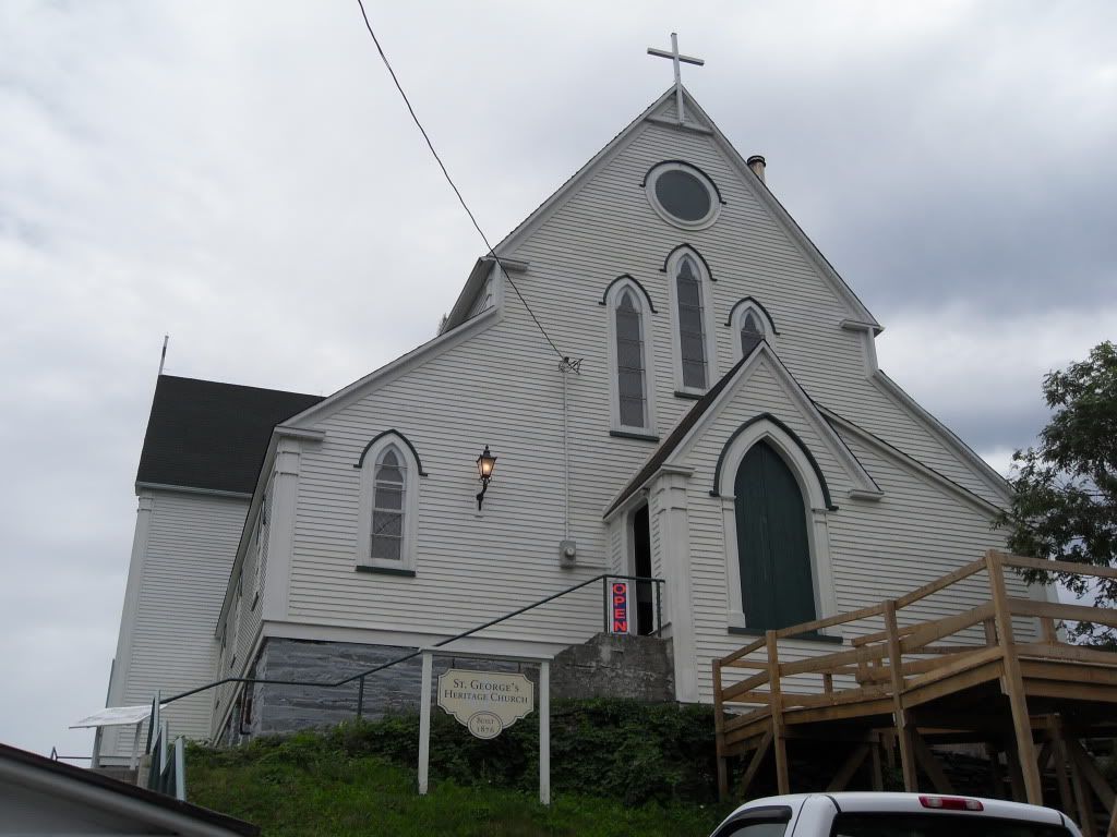
The Catholic church in Trinity, much smaller. It was, incidentally, the oldest wooden church on the island, built in 1833. There had of course been others in other places before it, but wooden churches have a tendency to burn.
A dory on the strand.
Kayakers, as seen from a sailboat.
Trinity East. The Newfoundlanders had a bad habit of naming different, nearby places the same.
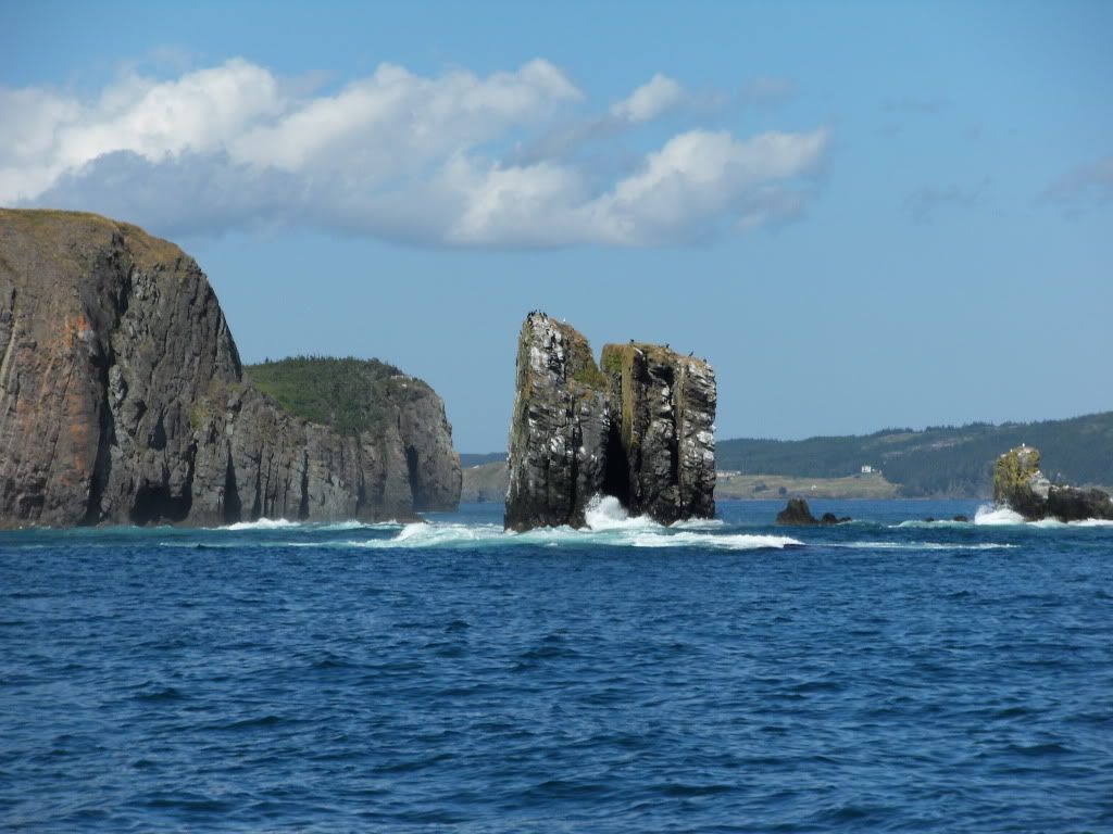
The Money Rock, so named after a story about a pirate who kept his stash there.
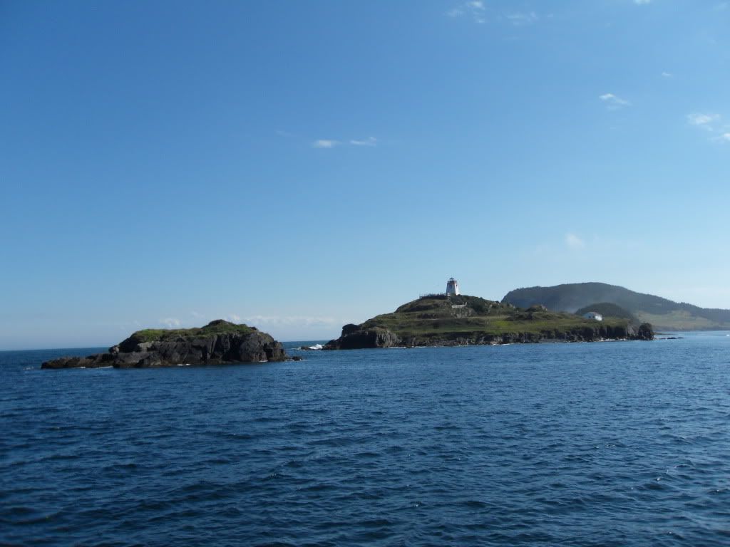
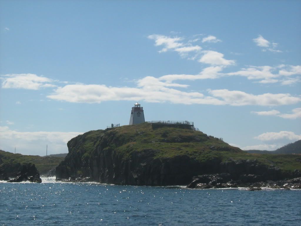
The Trinity Lighthouse.
I'm on a boat! There were no whales that day. Some orcas had been in the bay a few days before, and chased the minkes off even if there had been many around so late in the year.
These orange and black butterflies were everywhere, but the particularly seemed to enjoy these flowers. There were about ten on the plant when we took pictures.
From Trinity we headed up to Bonavista. At the Cape there was a provincial park called The Dungeon, which is a system of sea caves further along the coast. We didn't get there because mom was worried about mucking up the rental car on the gravel road in, so we stopped and took pictures not far in. The view was great enough from there.
Cape Bonavista lighthouse, built in the mid-1800s. The house around it was restored to its historical contents, even up to the giant counter-weighted light. It was the keeper's job to hand-crank the 200lb weight back up ever 2 hours in order to keep the light turning.
Yep. Dildo. We stopped there on our way from Bonavista down and across to out next stop. Because you can't NOT stop at Dildo.
Dildo still has a small working harbour, thanks to a nearby fish plant.
There were several jellyfish floating around.
Many lobster traps.
Shag Rock, just south of Dildo. Near Backside Park. Hee.
Up on that peninsula there are towns named Heart's Content, Heart's Delight and Heart's Desire, maybe after the English fishing boats that came there seasonally in the 1600s, or possibly for the shape of the harbour. Anyway, the original Newfies had a way of naming places.
Heart's Content lighthouse.
The end of a transatlantic telegraph line. First laid in the 1850's, it operated for over a century.
The Cable Station. The equipment inside was pretty cool. I later learned that an uncle of my grandmother's was a telegraph operator here, probably in the 20s.
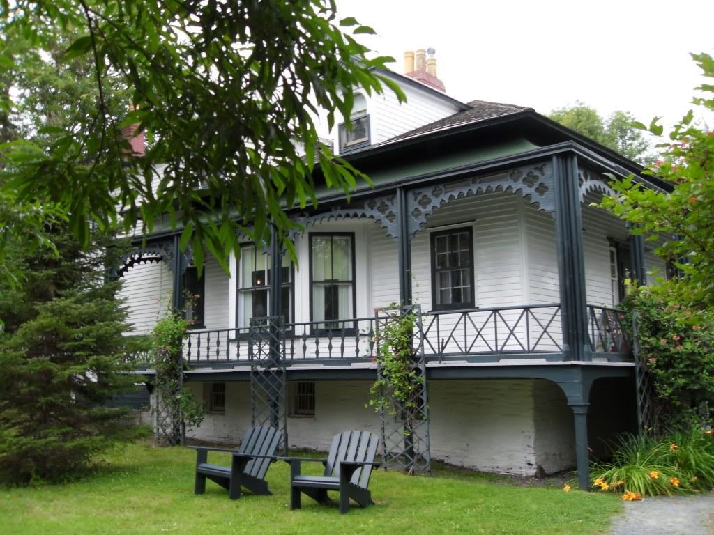
Our next stop was Cupids, a tiny place celebrating its 400th anniversary of settlement. We stayed in this converted Anglican Church.
Blueberries grow wild everywhere on the island, but were especially abundant at Cupids. We were fortunate to be there for the height of berry season -- in addition ot the blueberries, there were partridgeberries and bakeapples (cloudberries... idek why the Newfies call them bakeapples, but they do.)
Partridgeberries. They are a lot like cranberries, very tart.
In the walking trails beyond the church, you could find the sites of resettled outports. This used to be a village called Deep Gulch. The stones are were there were foundations or root cellars. In the 50s and 60s the government moved people to "growth centres" and removed the outports from the map. Many people picked up their ancestral homes and floated them down the bays on rafts.
Burnt Head, near the former village of Noder's Cove.
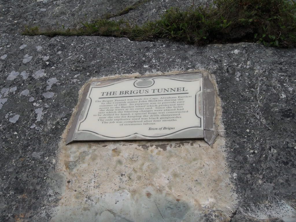
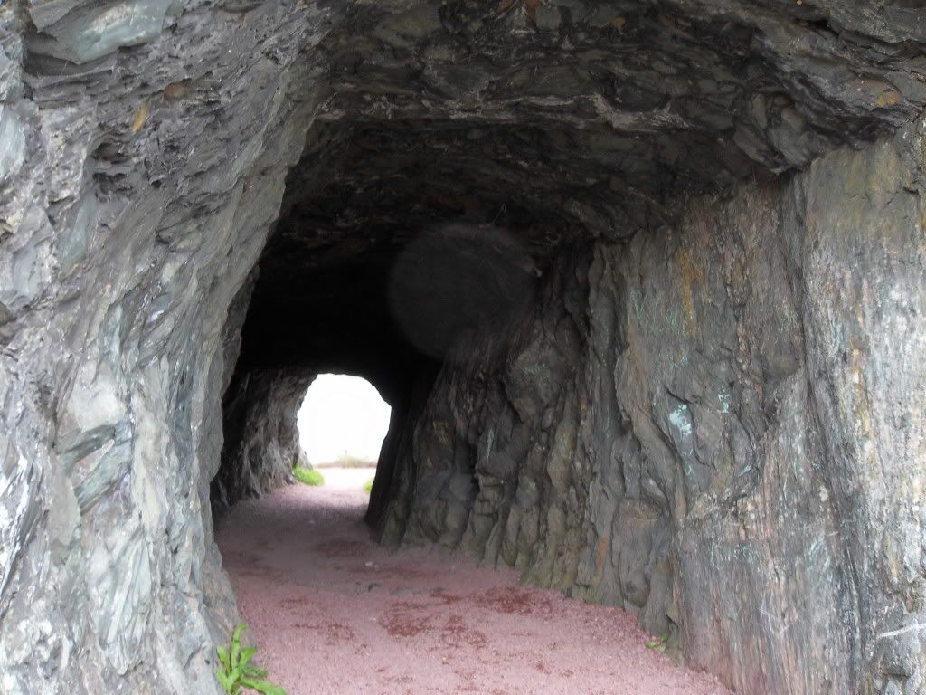
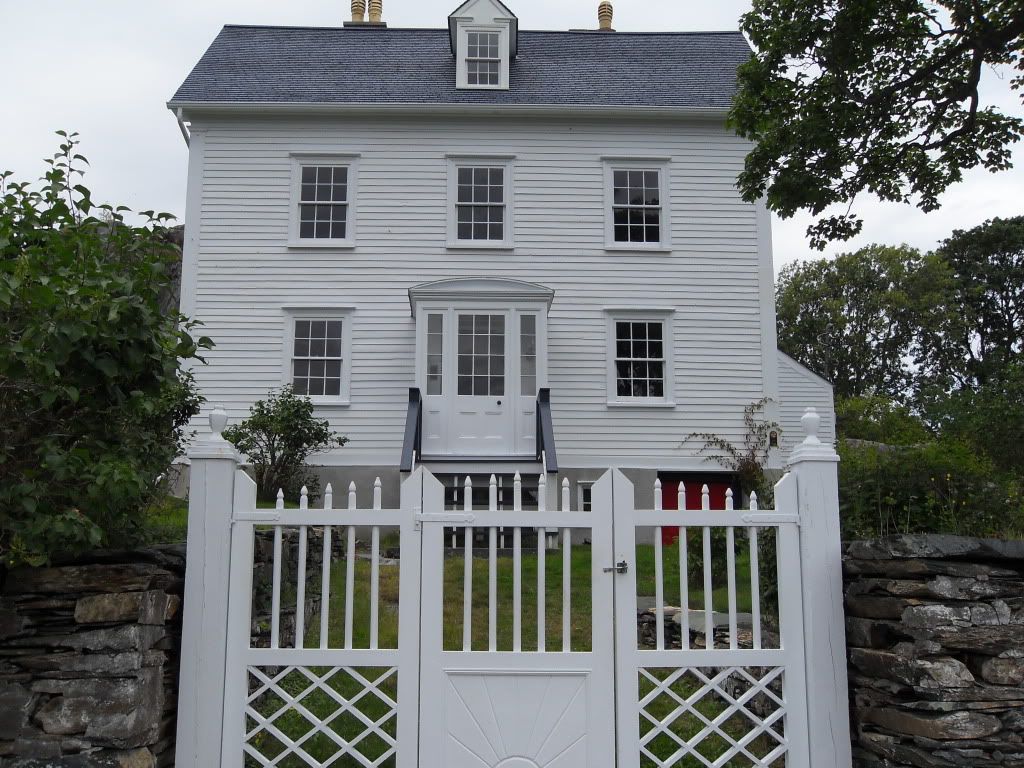
Hawthorne Cottage, an historic house in Brigus, a town near Cupids. A few generations of the Capts. Bartlett lived here, including Bob Bartlett, who conveyed Peary to the Arctic.
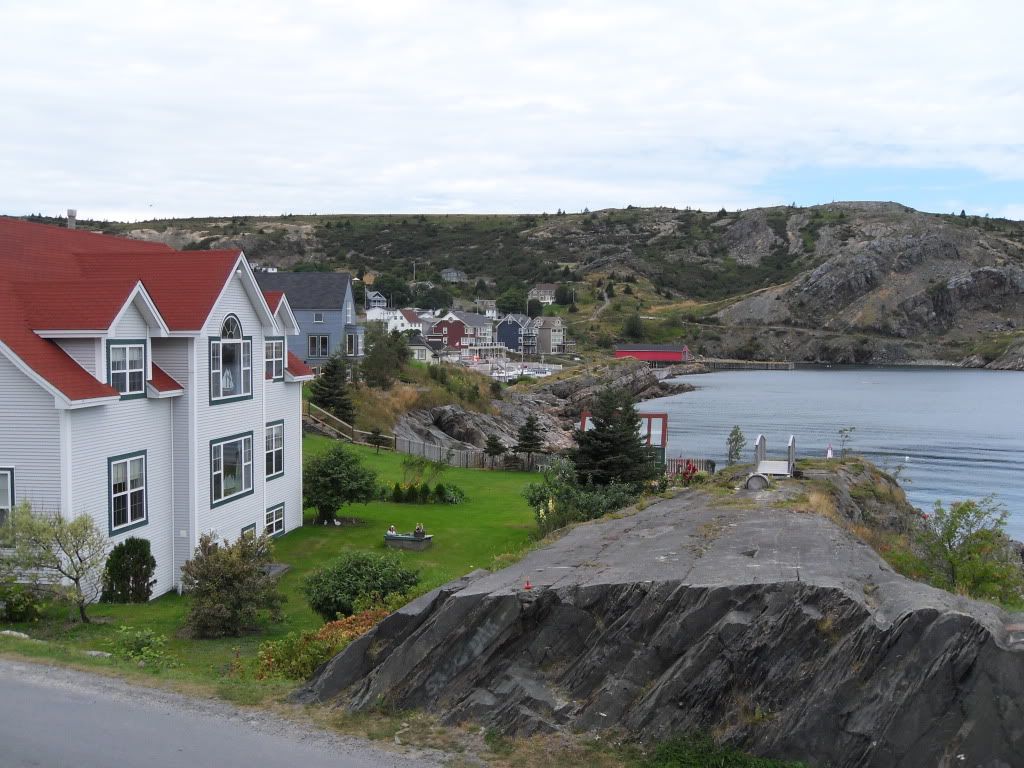
Brigus.
From Cupids and Brigus we drove East to Bay Bulls and stayed at the Inn above, called The Bread & Cheese. If you're ever going to Newfoundland you should totally stay there.
Sunset in Bay Bulls.
The remnants of the old U-Boat net that stretched across the mouth of the harbour.
The boat we took out to see the whales and puffins. Just a km south of Bay Bulls is Witless Bay, the site of an ecological reserve of five islands where the puffins make their burrows in summer.
A fin whale spout. We saw a group of them, lucky so late as September 1st, and doubly because they are endangered and often too speedy to be seen well by boat. They are the second largest kind of whale, after the blue. This fellow came quite close to the boat.
Evidently he decided we were not as interesting as eating, and went on a dive.
A humpback spout. The boat guide's mind was blown that we should see not only so many fins but two species so late. Most years, they would have already gone south, but maybe the warm summer kept them around.
The humpback diving. Their dorsal fins are smaller.
The tips of his tail. The fins don't raise their tails to dive, so the humpbacks are more fun to watch.
A kittiwake, probably waiting to mug a puffin for his fish.
The rocks on Gull Island.
Puffins flying to their burrows. They have to go in fast, since the kittiwakes will shake them to make them drop their capelin, and the big black backed gulls will simply eat the puffin. You can see the gulls staking out the burrows.
A blurry shot of puffins on the water. Quoth the guide: "Your puffin's perfect for the provincial bird, since just like a Newfoundlander he's not the swiftest, but he's some cute."
Our guide singing us into the harbour. Stan Rogers, no less.
What I like to call Newfie Poutine. Fries, dressing and gravy, om nom nom. Excellent accompaniment to battered cod.
After the whales and the lunch, we went down to Ferryland, the site of the Colony of Avalon archaeological dig. Out on the strand there are the pretty well-preserved remains of a village settled by Lord Baltimore in 1621. The colony was attacked and burnt out by the French in the 1690s, and remained to be found in 1991. Lord Baltimore, you may have guessed, wound up in Maryland.
The guide showing the tour group a few things dug up that afternoon. Mostly broken glass and pieces of clay pipes -- everybody, including the children, smoked.
The current dig site, below were a modern house was sitting until about a year ago, when the family sold it to the archaeological trust.
The buildings uncovered so far. The hearths and foundations stand as they found them.
The floor of the harbour warehouse, and the hole where the common privy was. The tide would come in and wash it out, making it a 300-year-old flush toilet.
The hearth of a planter's house.
The cobblestone road, which extended to where the white house sits now.
After Ferryland and Bay Bulls it was time to go back to St. John's. On the way, we stoped at Petty Harbour to have a look around.
A bald eagle flew over, sending every gull in the place into a fit (and there were many gulls, since Petty Harbour still has a cod fishery.)
From there we went to Cape Spear, which is the most eastern point in North America, and one of the approaches to St. John's. This lighthouse was built in the 1830s, and operated by the same family for about 150 years.
The current Cape Spear lighthouse, built in 1955.
The tunnel leading to the WWII gun battery, one of three that defended St. John's.
The passage leading to the gunroom and the ammunition rooms.
The gun turret and "disappearing" gun. The gun was mounted on a counter-weighted carriage that would swing the barrel up and over the concrete barrier to fire. The recoil would carry it back down to be loaded, and hiding it from any ships. They built dummy guns further down the hill to draw any return fire. Fortunately, they never had to use these guns.
The rocks were the true most eastern point, but even on a calm day like we had you had to be a bit crazy to climb out there. Eight people have drowned at the Cape, that they know of.
Back in St. John's, we went up to Quidi Vidi, a small village on the northern outskirts that my great-grandmother apparently mentioned a lot. Every summer it is the site of a Regatta, held on the lake not far away. We would have been in NL for that if not for the Alien Baby Reschedule.
The Quidi Vidi Battery, one of dozens the British used to defend the coast and from anybody (French, Americans) sneaking into St. John's from behind.
The Crow's Nest, Sea-Going Officers' Club, founded in 1942. A lot of awesome memorabilia, a crest for every Canadian ship in service, and original gun-shield art (the square paintings).
Note the Mountie riding the U-Boat. Heh.
The periscope of U-190, which surrendered at Bay Bulls. You can look over the tops of the buildings with it.
One last look at St. John's.
The End!
We were sad to go, but it was a good trip altogether and staying any longer might have ruined it. Fortunately Hurricane Earl didn't cause the east island any grief, and our flight to Toronto was easy. I also got to watch Bruce McDonald's film This Movie Is Broken, which a) had lots of rad footage of the Broken Social Scene concert I attended in July of last year and b) had unexpected boykissing. If you like BSS at all I highly recommend it (if you do not like BSS, it's half concert movie and might bore you. You can fast-forward to the good parts. Ahem.)