Picture Post! In the White Mountains.
And, without further ado, here are, as promised, photos of my trip up in the White Mountains this past weekend. Except that the first one is actually from the Belknap range in May. Close enough.
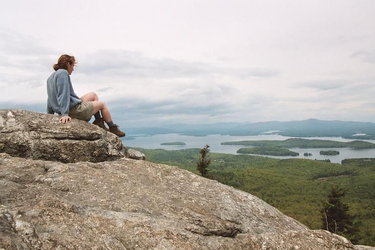
First off, me on top of Mount Major back in mid-May. This is a short peak, around 1750 feet, at the eastern edge of the Belknap Range of mountains which flank Lake Winnepesauke's southern edge. The White Mountains are on the other side. Sort of where the toe of my boot is.
And now, on to Mt. Washington!
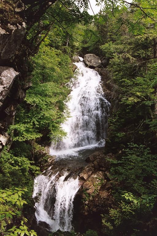
Crystal Cascades is only about 10 minutes up the trail from the trailhead at the Pinkham Notch Visitor's Center. And ooh, there was a brand-new letterbox hidden here that I got - I was the first to find it! *glee*
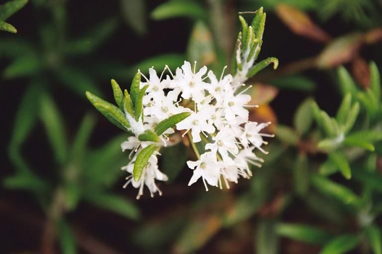
Anyone who knows me or has seen photos of any vacation I've ever been on knows that I can't not take a picture of a flower. This was when I stopped to rest on the stone steps leading up from the Hermit Lake Shelters to the floor of Tuckerman's Ravine. Some cute little alpine plant.
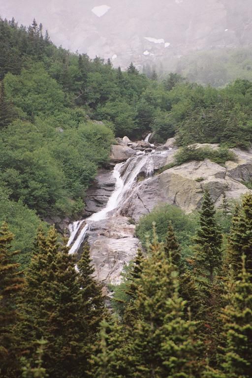
Although it was the end of June, there was still some snow on the mountain. Much of it was melting, and forming these cascades down over the front edge of Tuckerman's Ravine.
Tuckerman's Ravine! I'm about a quarter of the way into the ravine, facing the headwall. You can't see it, but the trail goes straight up the headwall on the right by that large slanty snowfield.
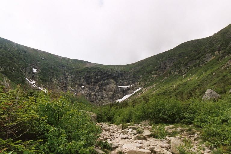
Well, now you can see the people in front of the snowfield. The trail continues along that same line of the snowfield, then cuts left in front of the rock outcropping.
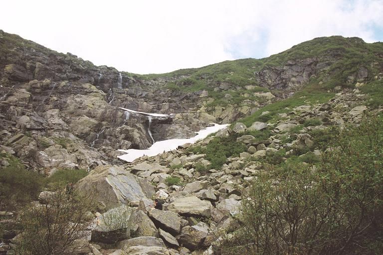
Yay, blue skies! We were in and out of clouds rolling over the ravine and down the mountain slopes the entire way, but it cleared up periodically. The trail begins up the headwall here and it gets very steep very quickly - you can see a few hikers ahead.
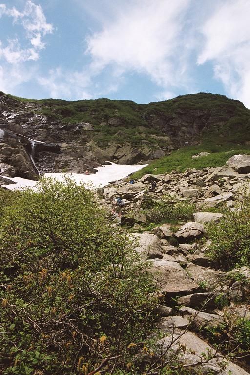
Melting snow and rainfall - mixed with almost no topsoil over the granite - means lots of little waterfalls trickling over the top ridge of the Ravine.
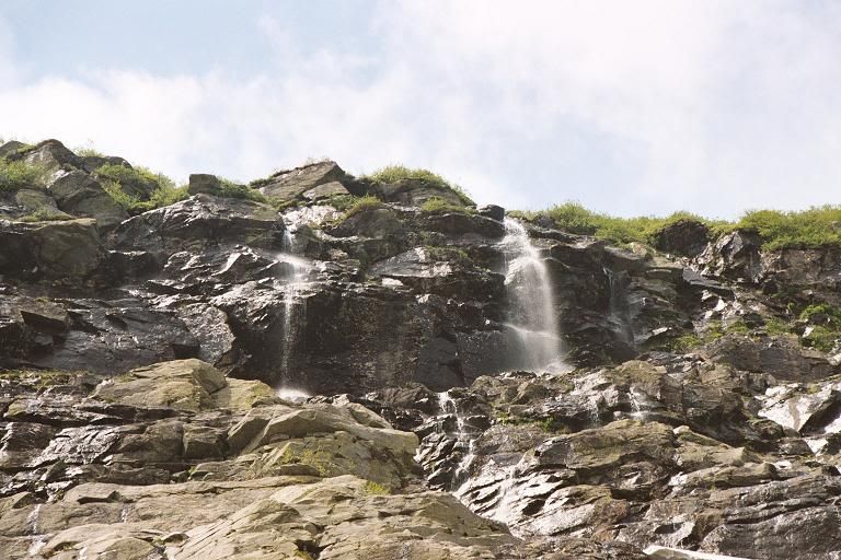
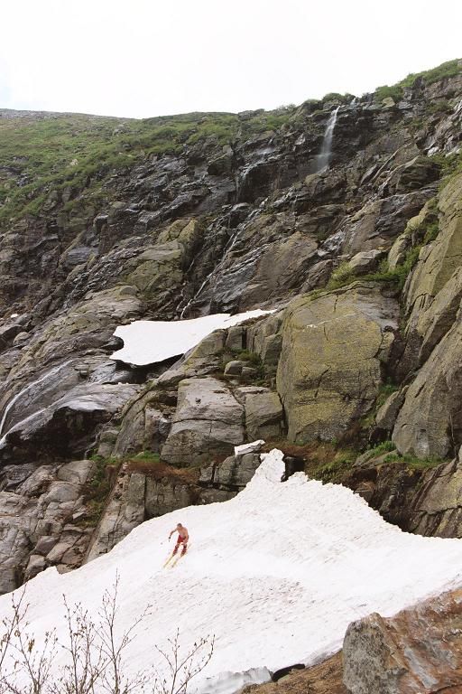
And yes, there was enough snow to ski. This guy was a 60-year-old, hiking up for the third time in about a month and a half to ski the ravine. In shorts and precious little else. But this does give you an idea of the steepness of the rocks on the headwall. I was probably about halfway up it by this point.
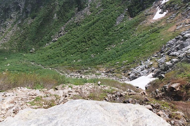
I stopped and sat on a rock and looked back down toward the ravine bottom. The snowfield on the lower right is the one where Mr. Red Shorts was skiing in the last picture, and you can see one guy hiking down the trail in the middle. It gives a little bit of perspective, anyway, on how steep the trail is here.
If you'd like to know where my friends Emily and Matt are in this picture, check this out. (Buh, stupid Paint ruined the text. That red smear does say, "Emily and Matt.")
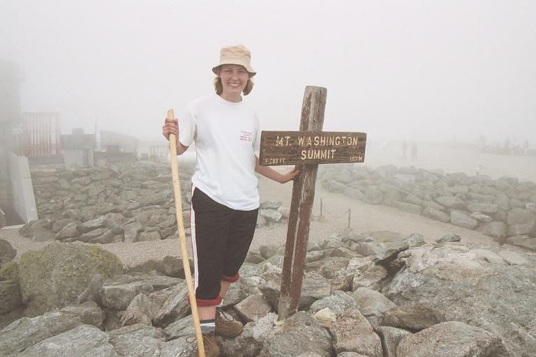
And of course, the proof that I made it...an hour and a half after climbing out of Tuckerman's Ravine! I can't believe I'm smiling that much - I was using the stick and the sign to prop myself up. The summit was all fogged in when I got up there, unfortunately.
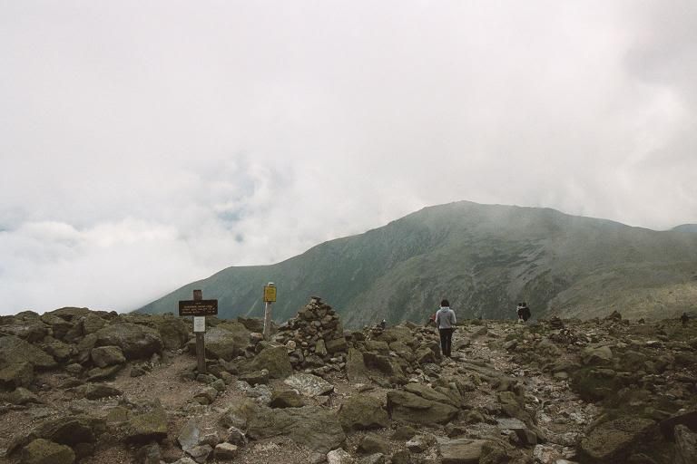
But some of the views were still amazing! The trailhead at the top of the mountain. I started back down almost immediately.
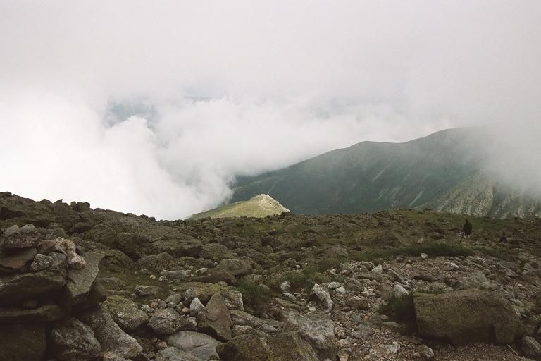
Tuckerman's Ravine is the big bowl on the right. That spot in the sun is the Lion's Head. I'm pretty sure that when I took this photo, the rest of my friends were all out there on the Lion's Head, or on the trail approaching it. While taking this trail down, I used a lot of mental tricks to keep myself going, and one of those was reciting as much of the dialogue of 'Indiana Jones and the Last Crusade' as I could, primarily because the line "Third, the Path of God: only in the leap from the lion's head will he prove his worth," kept running through my head. I was one darned penitent girl passing when I finally made it to the bottom, believe me.
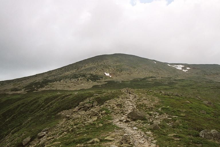
Yeah, that's a pretty accurate grade for the majority of the trail. Except for the places where it's steeper. This makes me think a lot of those opening sequence shots from Princess Mononoke.
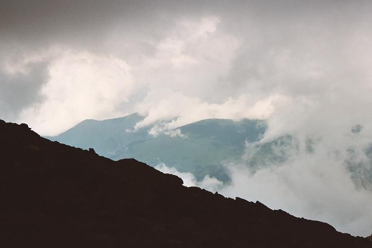
Looking back at the summit from the Lion's Head. It took me an hour to get from there to here, across the Alpine Garden. It's really tough to see, but you can barely make out the tower of the Mt. Washington Observatory.
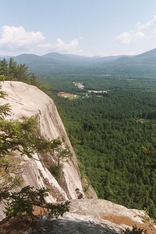
Then, the next day, I stopped at Cathedral Ledges near Echo Lake State Park. Very cool cliffs.
Annnnnnd that's it!
First off, me on top of Mount Major back in mid-May. This is a short peak, around 1750 feet, at the eastern edge of the Belknap Range of mountains which flank Lake Winnepesauke's southern edge. The White Mountains are on the other side. Sort of where the toe of my boot is.

And now, on to Mt. Washington!
Crystal Cascades is only about 10 minutes up the trail from the trailhead at the Pinkham Notch Visitor's Center. And ooh, there was a brand-new letterbox hidden here that I got - I was the first to find it! *glee*

Anyone who knows me or has seen photos of any vacation I've ever been on knows that I can't not take a picture of a flower. This was when I stopped to rest on the stone steps leading up from the Hermit Lake Shelters to the floor of Tuckerman's Ravine. Some cute little alpine plant.

Although it was the end of June, there was still some snow on the mountain. Much of it was melting, and forming these cascades down over the front edge of Tuckerman's Ravine.

Tuckerman's Ravine! I'm about a quarter of the way into the ravine, facing the headwall. You can't see it, but the trail goes straight up the headwall on the right by that large slanty snowfield.

Well, now you can see the people in front of the snowfield. The trail continues along that same line of the snowfield, then cuts left in front of the rock outcropping.

Yay, blue skies! We were in and out of clouds rolling over the ravine and down the mountain slopes the entire way, but it cleared up periodically. The trail begins up the headwall here and it gets very steep very quickly - you can see a few hikers ahead.

Melting snow and rainfall - mixed with almost no topsoil over the granite - means lots of little waterfalls trickling over the top ridge of the Ravine.

And yes, there was enough snow to ski. This guy was a 60-year-old, hiking up for the third time in about a month and a half to ski the ravine. In shorts and precious little else. But this does give you an idea of the steepness of the rocks on the headwall. I was probably about halfway up it by this point.

I stopped and sat on a rock and looked back down toward the ravine bottom. The snowfield on the lower right is the one where Mr. Red Shorts was skiing in the last picture, and you can see one guy hiking down the trail in the middle. It gives a little bit of perspective, anyway, on how steep the trail is here.

If you'd like to know where my friends Emily and Matt are in this picture, check this out. (Buh, stupid Paint ruined the text. That red smear does say, "Emily and Matt.")
And of course, the proof that I made it...an hour and a half after climbing out of Tuckerman's Ravine! I can't believe I'm smiling that much - I was using the stick and the sign to prop myself up. The summit was all fogged in when I got up there, unfortunately.

But some of the views were still amazing! The trailhead at the top of the mountain. I started back down almost immediately.

Tuckerman's Ravine is the big bowl on the right. That spot in the sun is the Lion's Head. I'm pretty sure that when I took this photo, the rest of my friends were all out there on the Lion's Head, or on the trail approaching it. While taking this trail down, I used a lot of mental tricks to keep myself going, and one of those was reciting as much of the dialogue of 'Indiana Jones and the Last Crusade' as I could, primarily because the line "Third, the Path of God: only in the leap from the lion's head will he prove his worth," kept running through my head. I was one darned penitent girl passing when I finally made it to the bottom, believe me.

Yeah, that's a pretty accurate grade for the majority of the trail. Except for the places where it's steeper. This makes me think a lot of those opening sequence shots from Princess Mononoke.

Looking back at the summit from the Lion's Head. It took me an hour to get from there to here, across the Alpine Garden. It's really tough to see, but you can barely make out the tower of the Mt. Washington Observatory.

Then, the next day, I stopped at Cathedral Ledges near Echo Lake State Park. Very cool cliffs.

Annnnnnd that's it!