(no subject)
Major hiking adventure this past Sunday! \o/ We drove over to Waianae side to hike Mt Kaala, the highest point on O'ahu at 4,025ft. The hike is ~7.5mi round-trip with an elevation gain of ~3500ft (aw yeah). The first half of the hike takes you through a valley and up the side of the mountain range to the ridgeline; the second half climbs that skinny ridgeline to the flat summit, where a really cool nature preserve/bog area awaits.
In other words, this trail will kick your ass. It was AMAZING.
Now, us being the geniuses we are, we took a wrong turn toward the beginning of the trail and ended up doing a 3mi RT warm-up hike back into the valley below Mt Kaala. *facepalm* Fortunately we had gotten there early enough that we still had plenty of time left to climb up to Mt Kaala after realizing our mistake.
The first part of the trail is under the trees while you climb up the side of the mountain range, but once we hit the open ridgeline there were some incredible views of the west side.
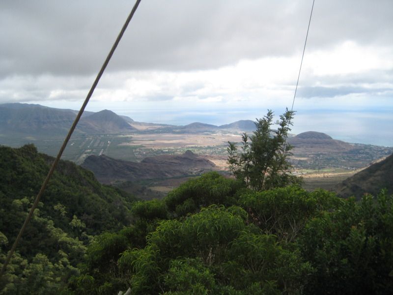
View of Waianae Valley from "Three Poles", where the trail first connects with the ridgeline:
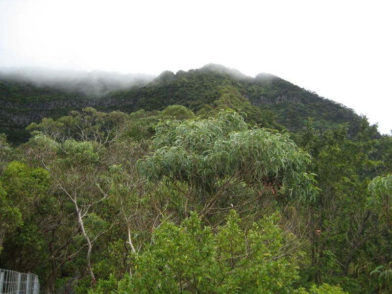
A view up the ridgeline where our trail would lead us. The ridge we climbed is the lighter green section just to the right of center, and the summit is in the clouds:
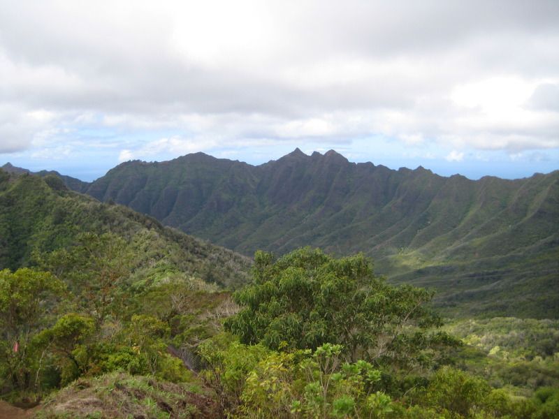
Getting higher:
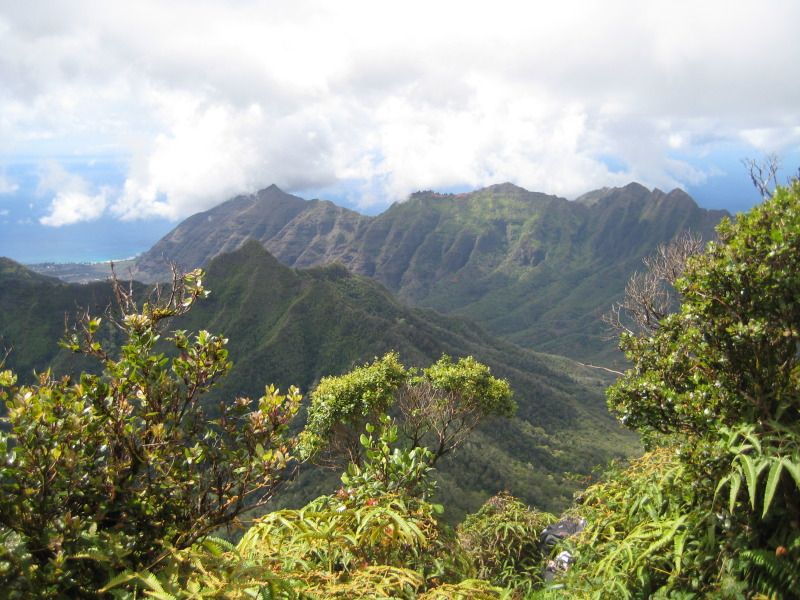
And higher:
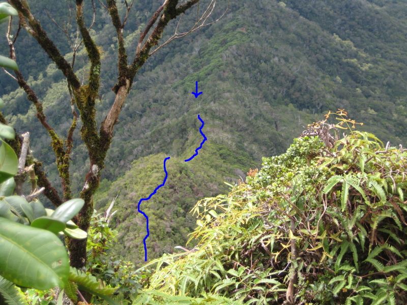
And higher still. To give you a sense of the trail, "Three Poles" is below the blue arrow, which is where you start hiking the open ridgeline. The blue line tracks what you can see of ridgeline trail in the photo, until it starts to ascend almost vertically, below where my feet were placed:
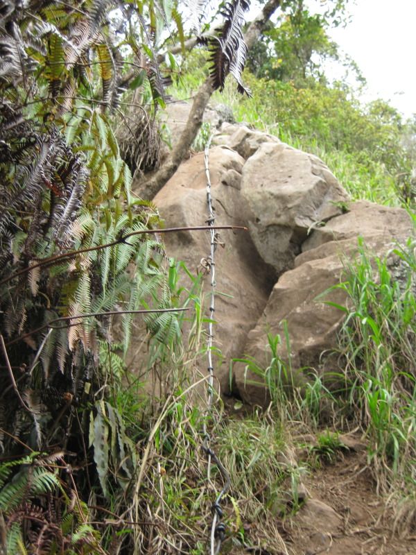
This rock pile was the biggest single challenge we faced. The photo really doesn't do it justice. 10-12ft high, straight vertical, and what you don't see are the 1,000ft drops on either side of the rocks; the tree on the left is rooted farther down the side of the ridge, and directly to the right of the photo is nothing but air. The rocks themselves are shaped so that you have to climb to one side or the other, which means you're totally exposed. ALL of my limbs were shaking, haha. I took this photo after we had made it back down safely on our descent:
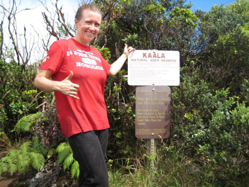
At the top!!
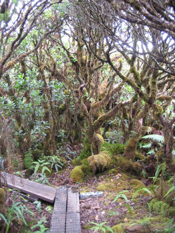
The summit of Mt Kaala is a nature preserve with boardwalks to lead you across the flat bog to the Army installation on the far side. It all looked like something out of Middle Earth, and went on for at least half a mile:
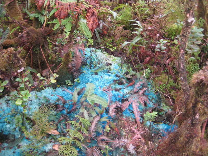
Blue moss!
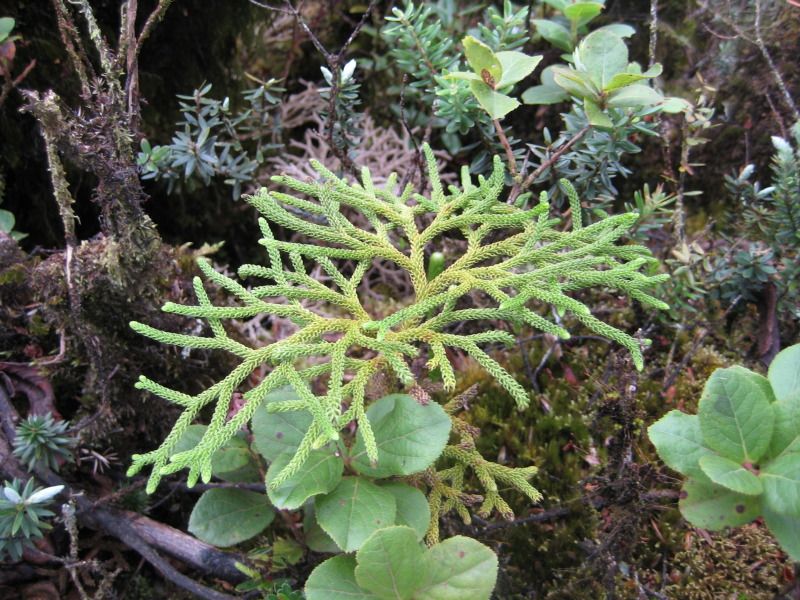
This plant could be a piece of sea coral:
Unfortunately, once we'd finished our lunch on the summit the clouds and fog had rolled in, so there were no island views to be had. :( But the challenge of the trail was more than enough reward for the effort and I have a feeling this is a hike we'll be coming back to.
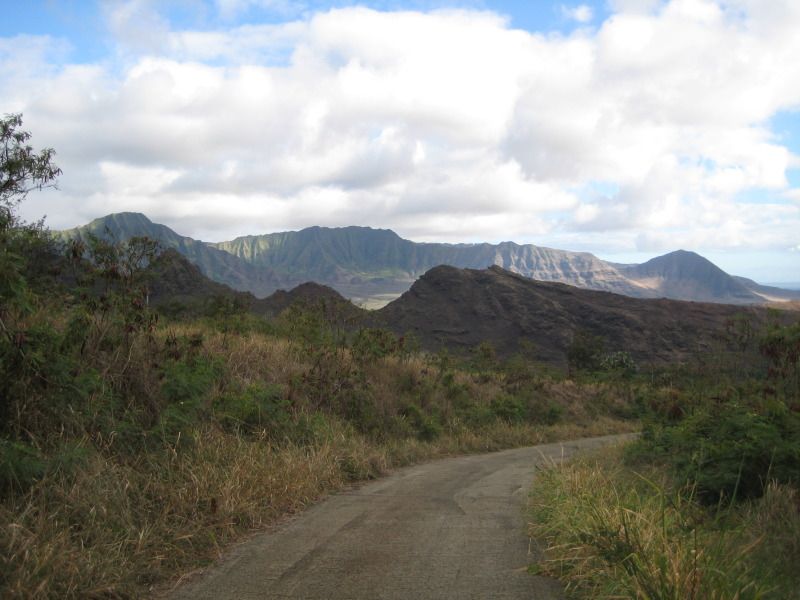
About 7hrs later (including our warm-up hike) we were back on Waianae Valley Road and almost back to our car, just a few hundred feet above sea level. The late afternoon sun on the Waianae Range was gorgeous (Mt Kaala was behind us):
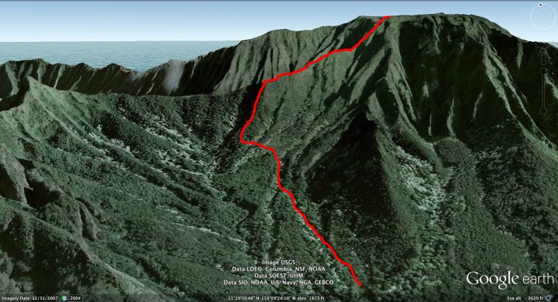
A Google Earth best-guess view of the full trail:
It was an exhausting but incredible day.
Still haven't watched last night's H50 or Saturday's Merlin. :((( HIFF is running this week, and trying to combine a movie each night (except Thurs) with normal workouts AND a house guest is a bit daunting.
In other words, this trail will kick your ass. It was AMAZING.
Now, us being the geniuses we are, we took a wrong turn toward the beginning of the trail and ended up doing a 3mi RT warm-up hike back into the valley below Mt Kaala. *facepalm* Fortunately we had gotten there early enough that we still had plenty of time left to climb up to Mt Kaala after realizing our mistake.
The first part of the trail is under the trees while you climb up the side of the mountain range, but once we hit the open ridgeline there were some incredible views of the west side.
View of Waianae Valley from "Three Poles", where the trail first connects with the ridgeline:

A view up the ridgeline where our trail would lead us. The ridge we climbed is the lighter green section just to the right of center, and the summit is in the clouds:

Getting higher:

And higher:

And higher still. To give you a sense of the trail, "Three Poles" is below the blue arrow, which is where you start hiking the open ridgeline. The blue line tracks what you can see of ridgeline trail in the photo, until it starts to ascend almost vertically, below where my feet were placed:

This rock pile was the biggest single challenge we faced. The photo really doesn't do it justice. 10-12ft high, straight vertical, and what you don't see are the 1,000ft drops on either side of the rocks; the tree on the left is rooted farther down the side of the ridge, and directly to the right of the photo is nothing but air. The rocks themselves are shaped so that you have to climb to one side or the other, which means you're totally exposed. ALL of my limbs were shaking, haha. I took this photo after we had made it back down safely on our descent:

At the top!!

The summit of Mt Kaala is a nature preserve with boardwalks to lead you across the flat bog to the Army installation on the far side. It all looked like something out of Middle Earth, and went on for at least half a mile:

Blue moss!

This plant could be a piece of sea coral:

Unfortunately, once we'd finished our lunch on the summit the clouds and fog had rolled in, so there were no island views to be had. :( But the challenge of the trail was more than enough reward for the effort and I have a feeling this is a hike we'll be coming back to.
About 7hrs later (including our warm-up hike) we were back on Waianae Valley Road and almost back to our car, just a few hundred feet above sea level. The late afternoon sun on the Waianae Range was gorgeous (Mt Kaala was behind us):

A Google Earth best-guess view of the full trail:

It was an exhausting but incredible day.
Still haven't watched last night's H50 or Saturday's Merlin. :((( HIFF is running this week, and trying to combine a movie each night (except Thurs) with normal workouts AND a house guest is a bit daunting.