Top 5 West Wing Map Moments
Again, in celebration of GIS day...
My five favourite map-related moments from the West Wing:
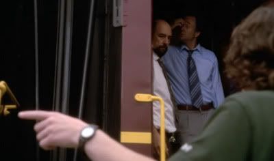
#5: "Josh, Toby. On my girlfriend's life, your troubles end 98 miles right down that track."
Josh, Toby and Donna get stranded in a series of small towns during Season 4. It wouldn't have happened if they knew more about local geography. Or if they had a map.

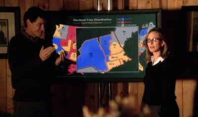
#4: "I'm taking Ohio out of the red and putting it back in play."
How could anyone do electoral analysis without thematic mapping? I love Joey Lucas' neat interactive map during the Season 4 election campaign.

#3: "Do we even have a map of Canada?"
Kate struggles to keep a handful of overexcited military officials from invading Canada over a minor hunting dispute in Season 6.

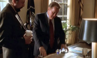
#2: Charlie's flea market find
In Season three, Charlie give Presdient Bartlett a vintage map of the Middle East. Just to remind us of the awesome political power of maps:
Toby: "Some people are going to find it offensive."
President Bartlett: "Why?"
Toby: "It doesn't recognise Israel."
President Bartlett: "It was drawn in 1709."
Toby: "Yeah."
President Bartlett: "There was no Israel."
Toby: "Right."
President Bartlett: "Israel wouldn't happen for another two hundred and fifty years."
Toby: "Yeah."
President Bartlett: "So what's the problem with the map?"
Toby: "Some people are going to find it offensive."
President Bartlett: "Why?"
Toby: "It doesn't recognise Israel."
President Bartlett: "Take lunch, would you?"

#1: Cartographers for Social Equality
Season 2 - basically the best ever scene of television featuring the Peters Projection map:
Cartographer: "So. You're probably wondering what all this has to do with social equality."
CJ: "No. I'm wondering where France really is!"

My five favourite map-related moments from the West Wing:
#5: "Josh, Toby. On my girlfriend's life, your troubles end 98 miles right down that track."
Josh, Toby and Donna get stranded in a series of small towns during Season 4. It wouldn't have happened if they knew more about local geography. Or if they had a map.

#4: "I'm taking Ohio out of the red and putting it back in play."
How could anyone do electoral analysis without thematic mapping? I love Joey Lucas' neat interactive map during the Season 4 election campaign.

#3: "Do we even have a map of Canada?"
Kate struggles to keep a handful of overexcited military officials from invading Canada over a minor hunting dispute in Season 6.

#2: Charlie's flea market find
In Season three, Charlie give Presdient Bartlett a vintage map of the Middle East. Just to remind us of the awesome political power of maps:
Toby: "Some people are going to find it offensive."
President Bartlett: "Why?"
Toby: "It doesn't recognise Israel."
President Bartlett: "It was drawn in 1709."
Toby: "Yeah."
President Bartlett: "There was no Israel."
Toby: "Right."
President Bartlett: "Israel wouldn't happen for another two hundred and fifty years."
Toby: "Yeah."
President Bartlett: "So what's the problem with the map?"
Toby: "Some people are going to find it offensive."
President Bartlett: "Why?"
Toby: "It doesn't recognise Israel."
President Bartlett: "Take lunch, would you?"

#1: Cartographers for Social Equality
Season 2 - basically the best ever scene of television featuring the Peters Projection map:
Cartographer: "So. You're probably wondering what all this has to do with social equality."
CJ: "No. I'm wondering where France really is!"
