Wildcats-Carters-Moriah Traverse, July 11th & 12th
The plan for this two day trip was to begin at the Pinkham Notch Visitor Center, NH and hike over the Wildcats, down into Carter Notch, over Carter Dome, Mount Hight, South, Middle and North Carter, Imp and Mount Moriah before hiking back out to Route 2 Gorham, NH. Here was a chance to knock out seven of the big forty-eight (AMC’s official 4,000+ footers list). Considering the overall mileage involved (20+ miles and all with my turtle-like cardio), I needed to go light but without sacrificing safety or photographic opportunities. I was very excited to bring some new gear for field testing. I was feeling very spiritual too; after having attended a beautiful wedding the day before.
After leaving Ravenstead Farm at 04:30 am, the adventure began about a mile south of the Pinkham Notch parking area. As I rounded a turn just by the Wildcat Ridge trailhead, a giant bull moose was straddling the center of the road! I pulled over and scrambled for the camera. He made for the woods but turned and waited just long enough for me to get this shot. His antlers were in ‘summer stage’ and looked kind of funny on such a big animal. He headed into the Dry River Wilderness area, south of Mount Washington and I wondered if I had seen his tracks last winter on the trip to Mount Isolation. “Nice to meet ya there ol’ boy!”

At the parking lot, I hid my keys in the back of my truck under some old hay and dried sheep droppings, (well - no one will touch ‘em there,) and was on the Lost Pond Trail by 06:45 am. It skirts Lost Pond and follows the Ellis River for almost a mile until it joins the Wildcat Ridge Trail whose trailhead on Route 16 precedes an unwelcoming stream crossing. This is also the Appalachian Trail and I would stay on this until nearing the summit of Mount Moriah.

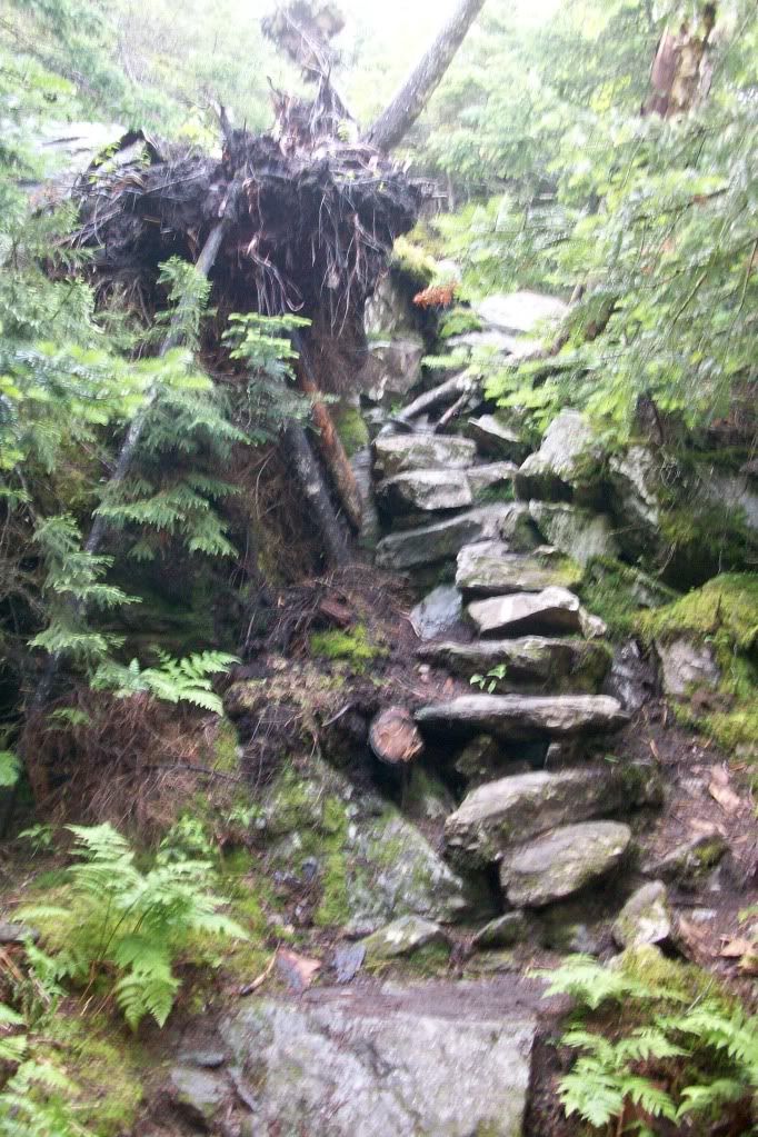
To put it nicely, the Wildcat Ridge trail ascends sharply over some ‘challenging’ land features.

I took some early shots from Sarge’s Crag Lookout.

Everywhere you look on these trails you see large chunks of gleaming mica and white, pink or clear quartz crystals. Small flowers line up to the left and right and colorful wild mushrooms decorate the bases of trees.

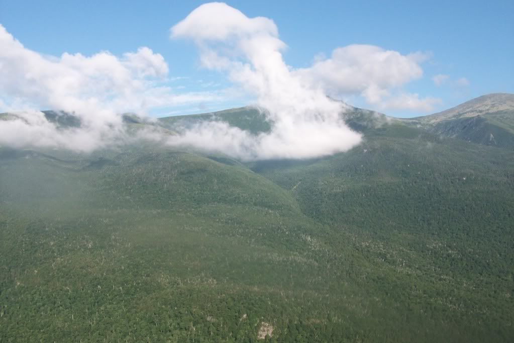
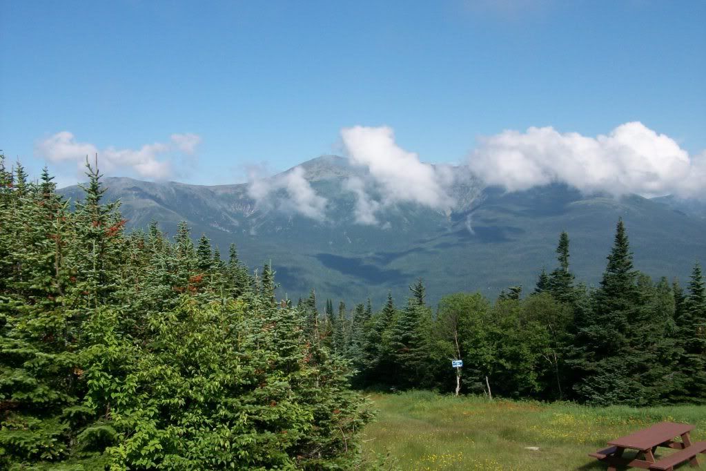
The ridge crosses over the various peaks and subpeaks, colorlessly labled Wildcat “D”, “C”, “B”, and “A”. As the story goes, a team of geologists recently decided to classify a new peak on the ridge and organized a ‘naming contest’ among AMC hikers and climbers. The name “E” won the vote (?!). The trail is a convoluted rollercoaster of peaks and saddles until you reach part of the ski trails. I noticed a lot of flora on the Wildcats that you typically find at lower elevations. I imagine the winds blow seeds up the sides or perhaps the tourists and skiers bring them. There are gondolas that can lift you to a picnic area with perhaps one of the best views you can get to without climbing it yourself.

The saddles typically were damp as to be expected and I did happen across this cute little mountain-hearty bugger:

He was very friendly and let me take his picture several times. Coincidentally he took one of me and emailed it back just the other day.

The official AMC 4,000 footer peaks on Wildcat Ridge are Wildcat “D” at 4041’ and Wildcat “A” at 4,422. The trail descends rapidly into Carter Notch hut (3,338’). Given that this is also part of the Appalachian Trail, the hut had a small store for ‘through hiker’ supplies, clean water source and composting toilets. You could see the facility below from the southeastern lookout on Wildcat “A”.

I lingered at the lily bejeweled Carter Lake but didn’t care to check out the store or hut. I completed six miles so far but had many more to go.

I had already consumed my 3 L of water so I refilled at the Hut. From here I picked up Carter Moriah Trail at about noon and began the trek up Carter Dome (4,832’). Again, the trail seemed to climb up some uniquely shaped crags and cracks. Like on the Wildcats, scrambling with both hands is a must. Luckily, there were a few natural handholds here and there. It was uncanny how well this one perfectly fits all fingers and thumb!

Here’s another bomber foothold!

Not all of the scrambles were exposed, some were treed in pretty good.

There was a nice water source on the way up so I topped off.
From Carter Dome pics.

The next stop was Mount Hight (4,675’). It is reached by a side trail leading from the Carter Moriah Trail. This wind torn chunk of granite provides the westerly view of Mount Washington and the Northern Presidentials with spectacular views directly into Tuckerman and Huntington Ravines. Perhaps one of the top views in all the White Mountains.

The trail off of Hight leaves the summit sharply west (the AMC Guide lists it at 290 degrees). It has in the past caught a few unaware travelers. It rejoins the Carter Moriah Trail and descends into Zeta Pass (3,904’). There were opportunities to collect ‘run off’ for purification at the low points in the pass. You will not find another opportunity for water until the plateau before Imp Mountain.
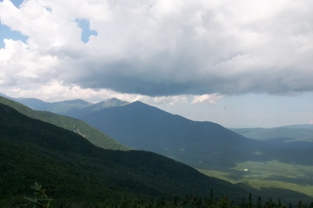
The trail now climbs over South Carter (4030’). Here's some views facing south:

Next lay Middle Carter (4610’). From the look outs, I could hear thunder rumbling and clouds on the other side of the Presidentials and soon the grim gray rolled in.

A light rain started and I could still hear the occasional thunder clap rolling in the distance. I had hoped to make it to the plateau south of the Imp but didn’t want to get caught in anything torrential. So at 6:00 pm I made camp in the saddle of Middle and North Carter, about 100 yards west of the trail. The ground was very damp and cluttered with stones and branches. It would be very challenging to find a suitable (and legal) tent site in this area. Luckily, I had a hammock and tarp. There was just enough water to boil a bit of pasta and have a cup of tea. My feet were throbbing from the heartless pounding stone and I walked back to the trail to have a pipe smoke and lounge barefoot for a while since there were no views. When it began to darken, the rain stopped. I went to bed early and slept moderately well, though it did rain once again in the evening.

Morning time came and I ate some snack bars and finished the last few ounces of water at 06:00 am. The top of North Carter (4,530’) afforded great views looking to the north and this morning shot of Washington with his white cloud top....

I was continually surprised at the steepness of the land features during the climb down North Carter, (I am pointing camera straight down in pic of trail here!)

Early on the way down I found a trickle of water. I drank deeply now, knowing that I’d be at Imp Campsite roughly 2 miles.

I arrived at the Imp Campsite by 08:00 am. I passed a small brook already but I still wanted to check out the place and the water source for future reference. There I met a young Russian couple hiking the Appalachian Trail southbound for a few weeks. Another guy (Alex) was taking a nine day journey while waiting for a new job to start. He was tall and slightly overweight but I was struck by the size of his back pack. It was yellow and looked more like a school bus strapped to his back. He told me it weighed 60 pounds... not including water! Furthermore, the waist strap had broken (ya think?) and the entire load was resting on his shoulders. He was hoping to make it to Carter Hut by that evening. I told him the ‘water news’ and the rough spots that I thought may give him a hard time with such a heavy load. He was amazed at my tiny pack and was shocked hear that it weighed in at 17 pounds, including water, cell phone and camera. We talked about lightweight packing and he was interested in some of the choices I made regarding water purification, cook system, food, etc. I spent a while hanging out by the stream and cleaned up a bit. Then made a huge early lunch!
Water at Imp Campsite

Back on the trail by 10:00 am the trip to Moriah was as expected. It descended roughly for a while until reaching the col between Imp and Moriah. There were excellent slab outlooks on the southern slopes of Moriah and it was great to keep looking back to see the distant peaks I stood on just yesterday.

This mountain flower could be found along the upper trails on Moriah. None of these blossoms could be seen in any other location except here. This place never stops surprising me. Give us a shout out if ya know them:

Just before the summit, the Appalachian Trail continues down the Kenduskeag Trail. The Carter Moriah Trail abruptly cuts left to the summit before continuing on to the town of Gorham, NH. Just before this intersection I saw a nearly vertical wall approximately 12’ tall, flanking the left side of the trail. I remember daydreaming about some ill mountain troll turning the trail signs to direct unsuspecting travelers to his hungry home in a dank and mossy crevasse. At that moment I came to the sign at the intersection. As I read, I was perplexed as the arrow to the summit trail and to the path to Gorham pointed directly to the wall I was just admiring. To my surprise, a painted trail stripe was on the wall face, pointing straight up a twisting crack. (Up, up to my final peak…)
A cloudy outlook!

It would be mild to describe the hike down to Gorham as torturous. The trail should be named ‘The Suffering”. It was almost entirely comprised of steep wet smooth slab declines or flat boggy patches of soupy mud. I took a break after a short while and basked on a westward facing slab. I heard a few more thunder claps and the dark clouds that had formed behind the Presidentials. When the thunder rolled, you could hear it ping off each of the nearby mountains before the chariot wheels rattled back towards me. Instead of rolling ‘overhead’ however, they were rolling ‘at my head’. The thunder clouds moving around the Northern peaks seemed to be looming around 4,000 feet and I could see the flashing of lightning on their underbellies. (Break time’s over… back on the trail!)

The lightning I feared never came... nor did any heavy rain. I am glad not to have Thor's Chariot tracks running through my cloven forehead!!! Despite the awful terrain, I did make an awesomly wonderful discovery…
....Black Trumpet Mushrooms - a real treat!!!

I didn’t pick them of course as that violates the “Leave No Trace” ethics along these highly traveled trails. If I found these in the woods behind my house I would have picked every one of them or sold them up in Portland to Bella Cusina! These are incredibly tasty, highly sought after and yet they are a great ‘beginner’ level mushroom for amateurs to pick because there is so little else around that looks anything like them. Here's a pic of one standing alone, it is a bit out of focus but you'll get the idea of what one is shaped like... and oh... read disclaimer below too please:

(Please never take my word or the photos on any of my blogs on edible plants or mushrooms as complete. Everyone interested in edible flora should seek accredited training and instruction first! Eating the animals and bugs in the northeast for survival or recreation can at worst give you tummy ache. However, there are plants and mushrooms that even eating a very small amount could kill an adult human!!!!)
I reached the end of the trail on the Bangor Road in Gorham at 2:00 pm. I didn’t have any interest in the convenience store but a foot bridge crossed the Ellis and brought me straight out to Route 16.

Out came my thumb and I was walking south. A minivan stopped within an hour and I was offered a ride from a talkative hiking couple and their uninterested teenage boy. They were coincidentally heading towards Pinkham Notch Visitor Center and were worried that they would have a hard time getting a parking spot this late in the day. We chatted about were I’d been and what was seen until we arrived at the lot. I pulled the big red truck out and gave them my spot (which was right near the main building!) They were happy for the ‘rock star’ parking and I was off on the road again towards Ravenstead. (Sent Text: safe n headn home)
Hail the beautiful Land Spirits of these inspiring mountains!!!