Moffett Bay Trail 2
Moffett Bay Trail 2
On Halloween afternoon, D. and I decided to get some fresh air since it was such a mild, pleasant day. We returned to the Moffett Bay Trail to see the part of the new segment we didn't have time to walk the last time we were there. We took some pics; first up, mine.
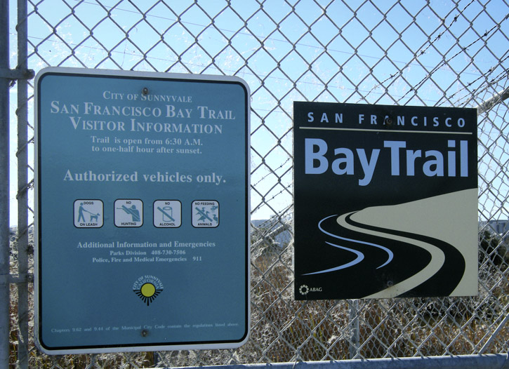
Welcome to the Bay Trail. Please follow the rules.
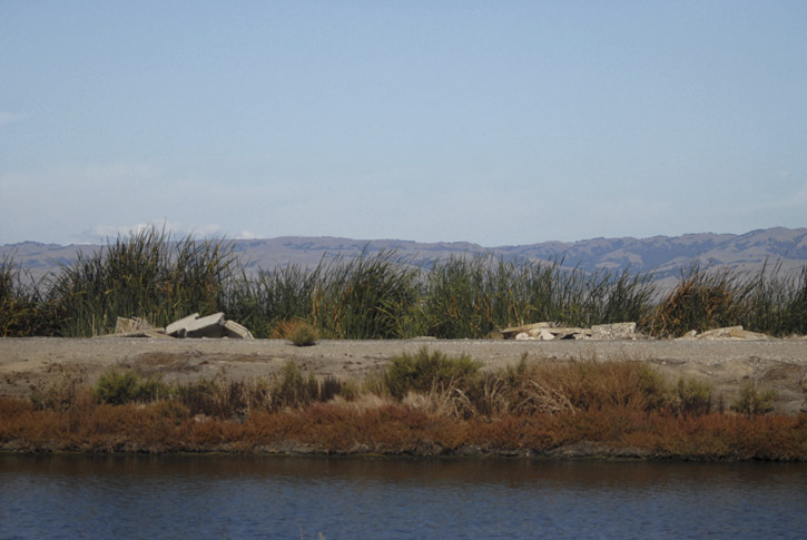
Looking out across the reeds growing on the edge of a former salt pond converted into an oxidation pond by the water pollution control plant in Sunnyvale. The Diablo Range is visible in the distance.
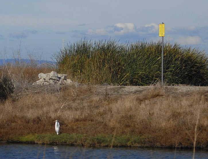
An egret perches along the channel next to the oxidation ponds. The yellow sign warns of "invisible dangers" (it is a sewage treatment pond, after all).
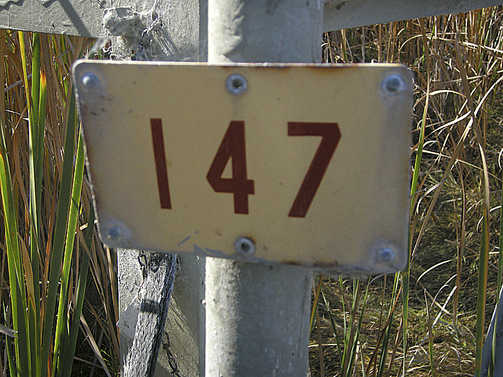
Number on the leg of a high-tension tower nestled among the reeds alongside the trail.
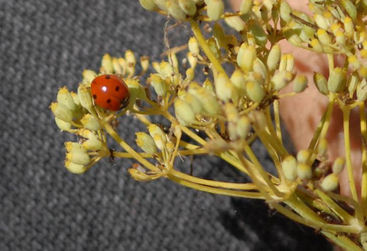
Ladybug on fennel.
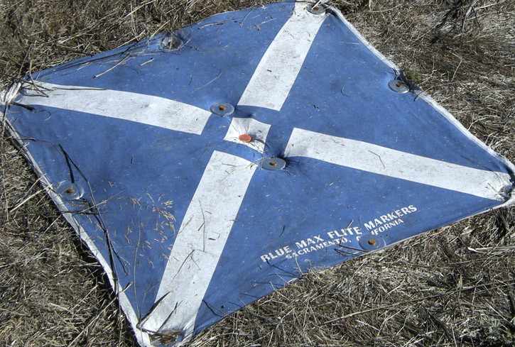
Aerial survey marker next to the trail, so surveying airplanes can see what's what and where's where.
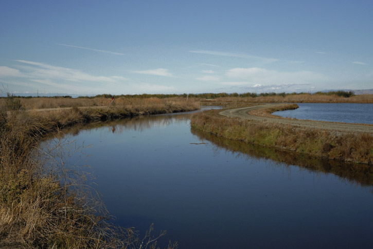
Because managing water among the sloughs, salt ponds and water treatment oxidation ponds is critical, the various channels are kept separate by levees. Along this stretch we see how the water levels are different (higher on the right).
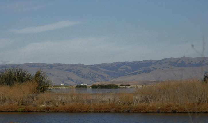
Another view across the oxidation pond toward the Diablo Range.
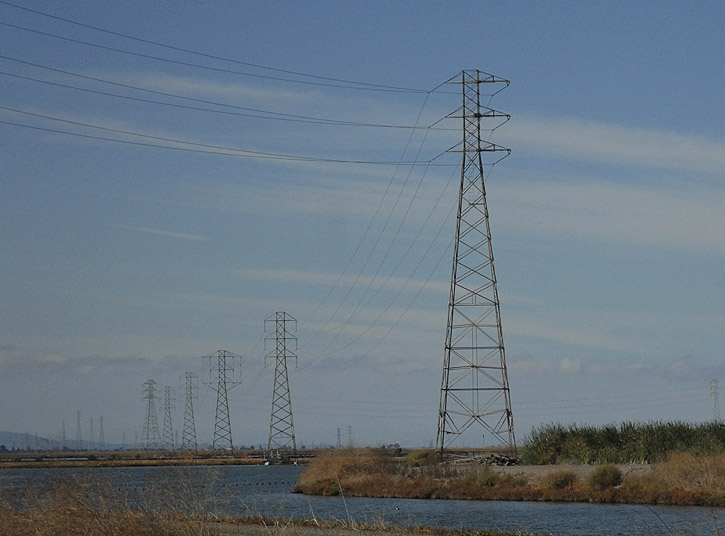
Power lines stride across the marsh.
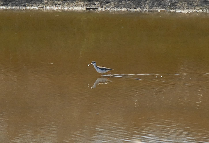
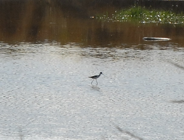
The lonely world of the black-necked stilt.
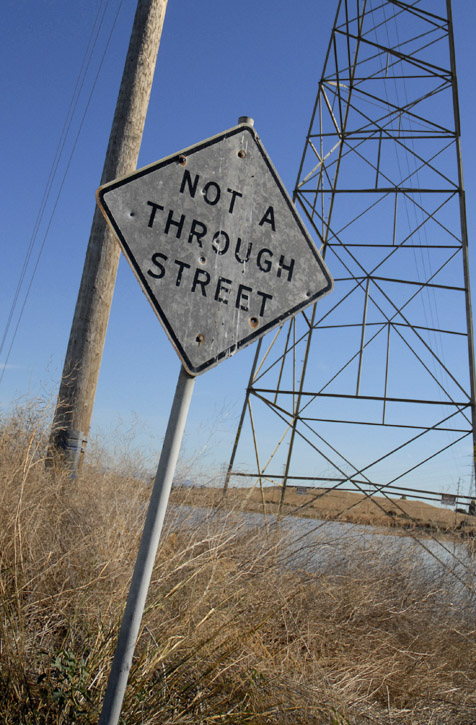
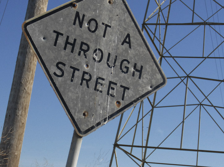
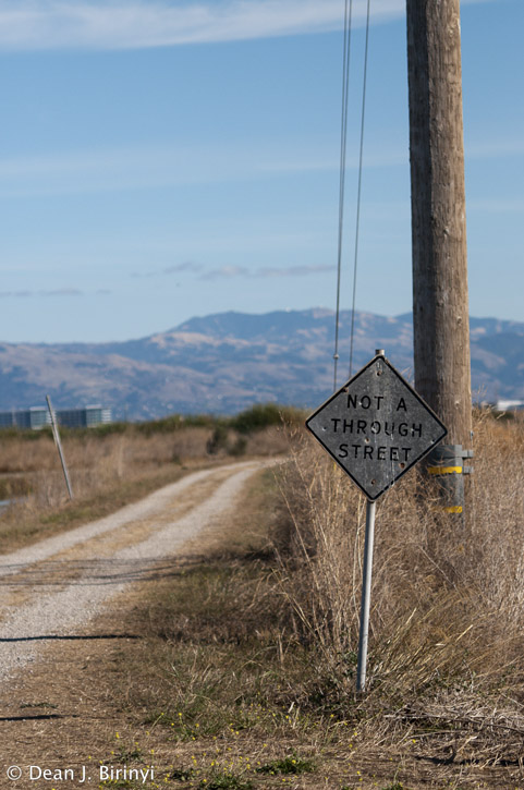
Maybe at one time this was the case, but no longer. It is not an actual street, but it does go all the way through now that the new trail segment is open.
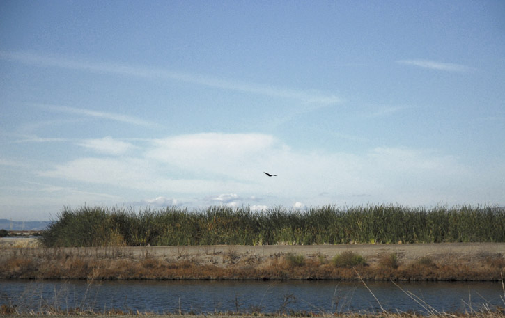
A turkey vulture soars over an oxidation pond near the trail.
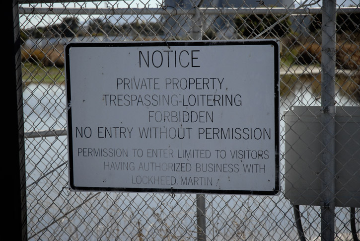
Hmm.
Sketching?
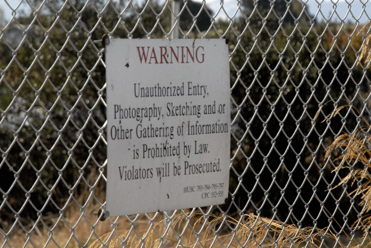
*waves*
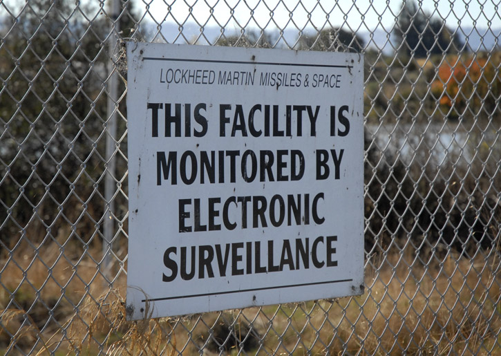
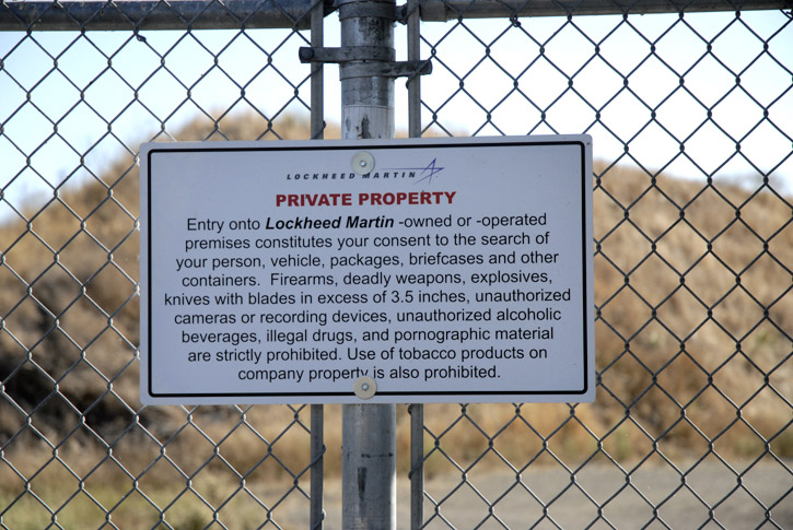
Killjoys.
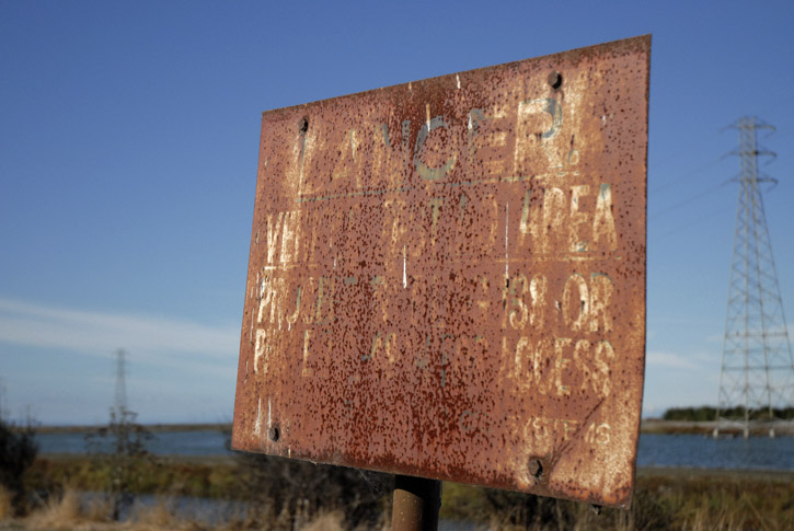
We'll never know what the danger was.
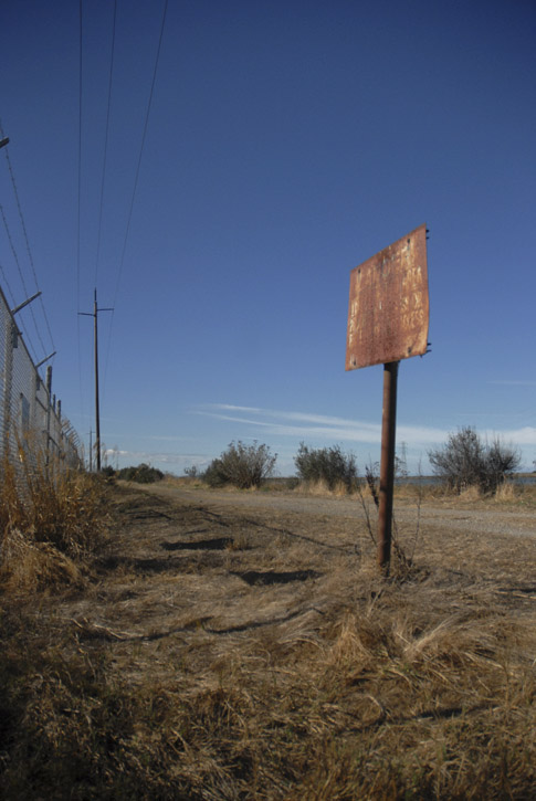
Looking down the trail.
Across from the fence with the signs, we find a row of short, shrubby olive trees full of fruit.
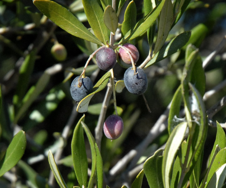
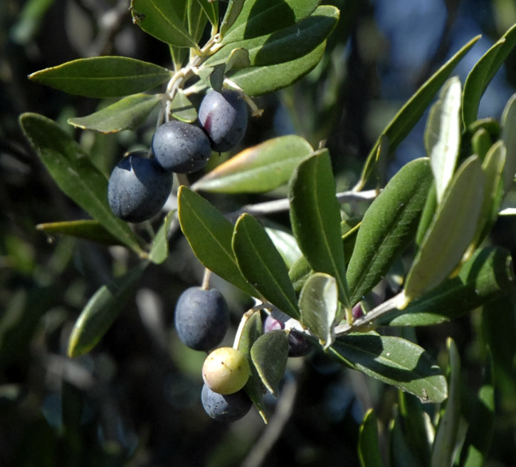
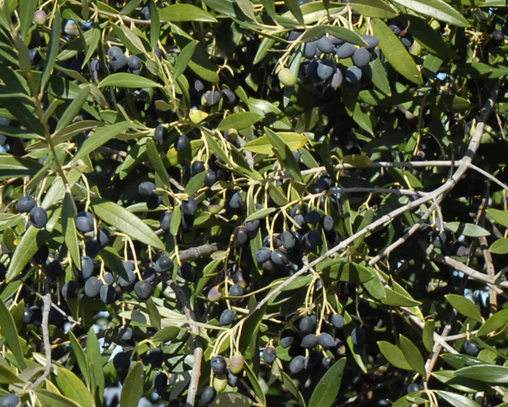
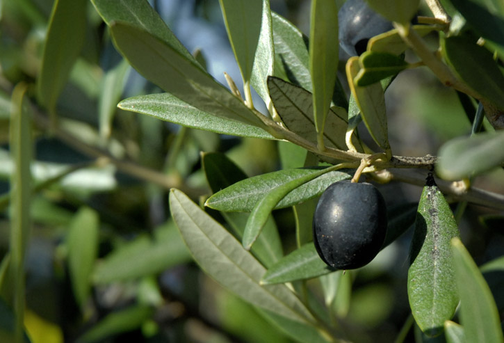
We suspect they are there as a visual privacy screen, given the nature of the place with the signs. Although all they would be screening the complex from is duck hunters out in the salt ponds. And now that the Bay Trail goes along their back fence, how much privacy can they reasonably expect?
Still, just in case they are touchy about this, they will remain The Place-That-Shall-Not-Be-Named in this blog.
It's duck season. Don't fall for it, Daffy! It's a trap! Stay away!
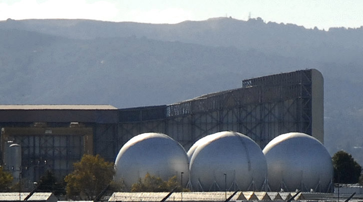
I love those domes. They are cool. They are the lungs of the wind tunnel.
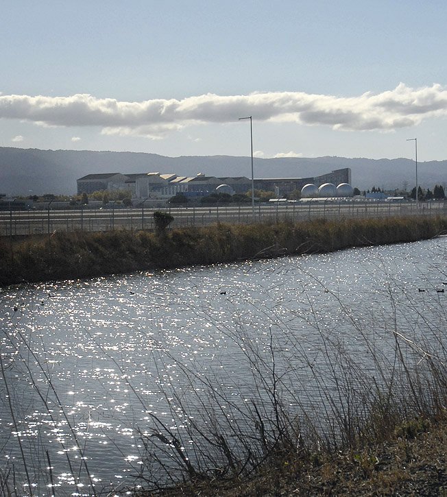
Have I mentioned I love their domes?
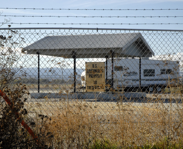
So, no trespassing, but it's okay to store funky old RVs there, apparently.
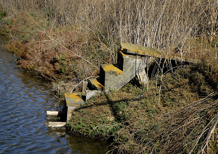
Behind a barbed-wire-topped fence, these dilapidated steps lead down into a salt pond.
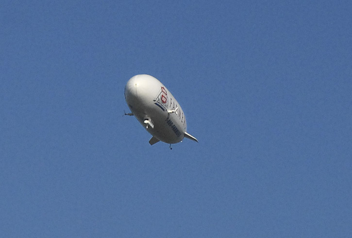
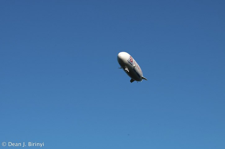
It's a bird! It's a plane! It's the zeppelin Eureka!
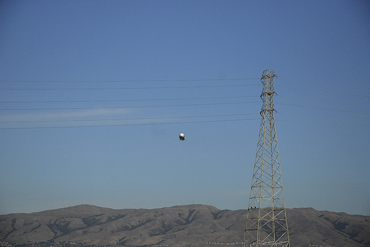
It flies directly over our heads to land at Moffett Field's Hangar Two, about a mile away. How many people can say they've had a zeppelin fly directly over their head?
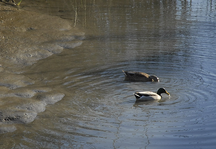
A pair of mallards find a late afternoon snack in Sunnyvale Creek's West Channel, not far from where it flows into Guadalupe Slough.
❧ ❧ ❧ ❧ ❧ ❧ ❧ ❧ ❧ ❧ ❧ ❧ ❧ ❧ ❧ ❧ ❧ ❧ ❧ ❧
And here are D.'s pics.
A hunter on his way to the duck blinds out in the middle of the salt pond. He's stopping to lock the gate behind him.
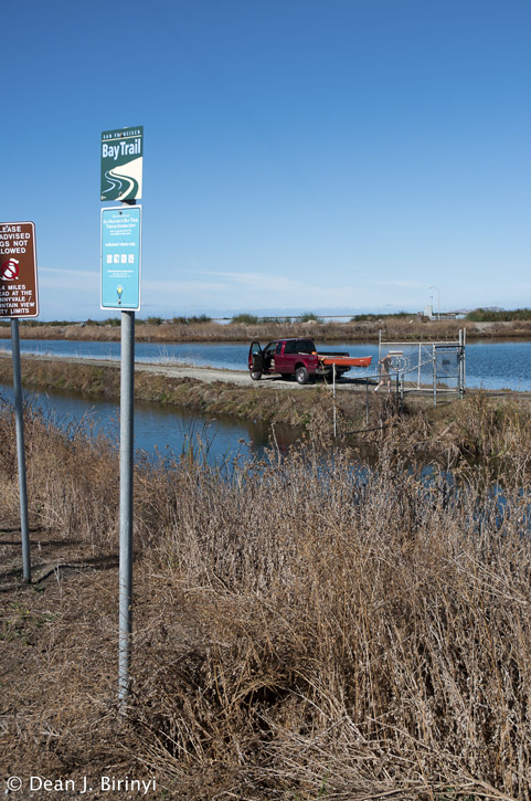
This part of the trail doesn't exactly have the friendliest feeling to it.

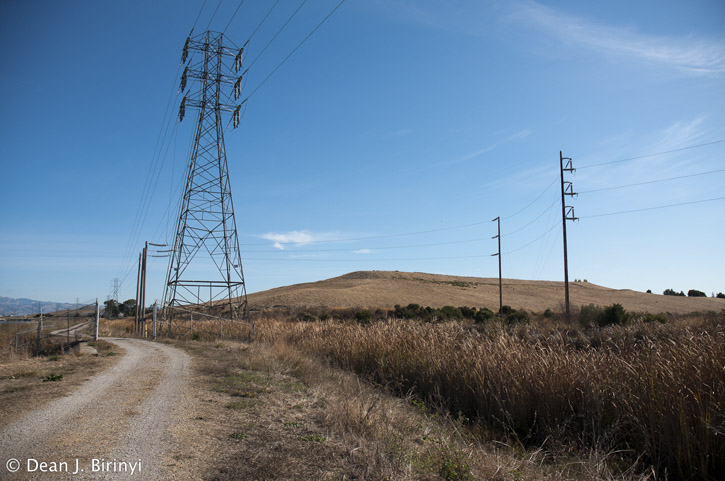
Looking down the trail toward Sunnyvale and the landfill and water pollution control plant, with the ever-present power lines alongside.

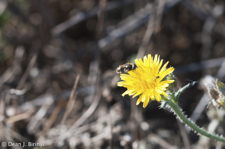
A bee enjoys visiting this California dandelion.
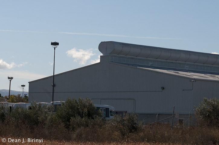
This warehouse roof has an unusual structure.
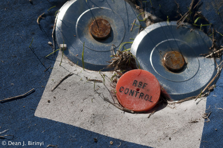
RBF control. On the aerial survey marker. Mmm-hmm.
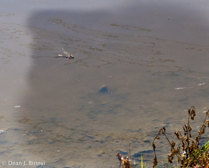
A dragonfly zooms over the channel.
Not a through street.
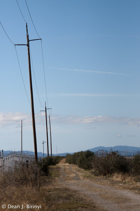
The trail.
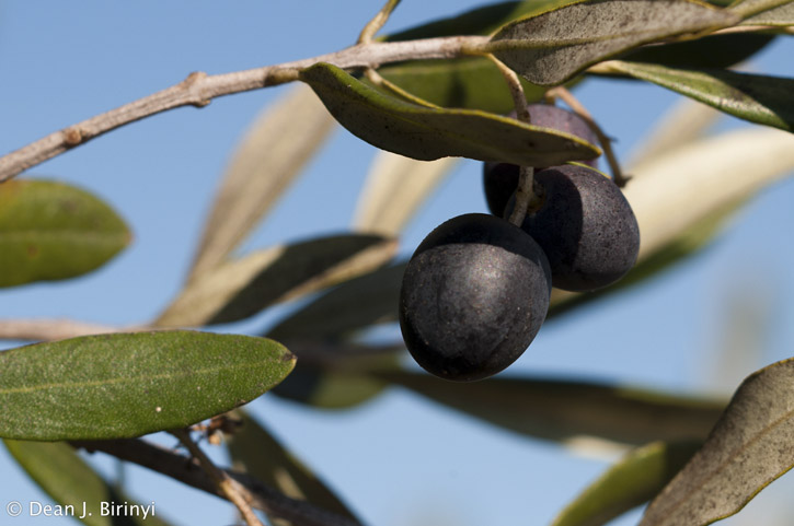
Olives growing on the shrubby trees screening The Place-That-Shall-Not-Be-Named from the notoriously prying and inquisitive duck hunters.
A few dunlins probe for tiny critters to eat in the shallow pond alongside the trail.

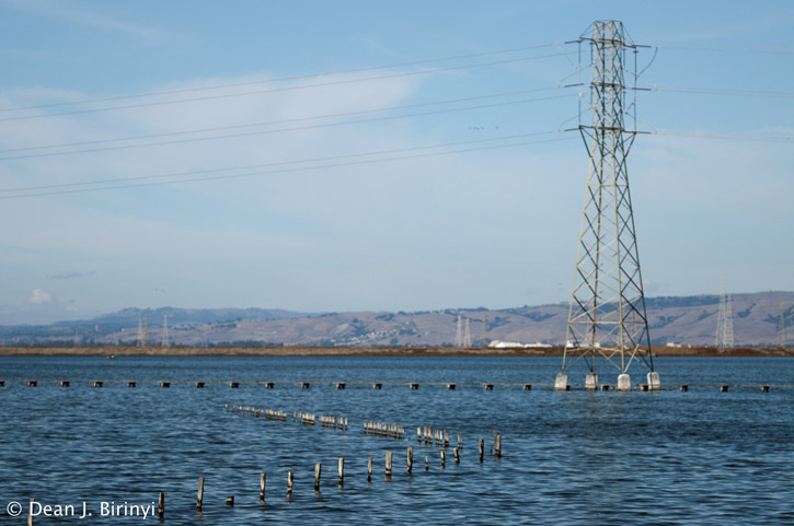
Ubiquitous sights in the salt ponds: power lines and pilings.
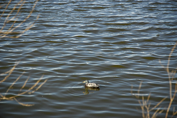
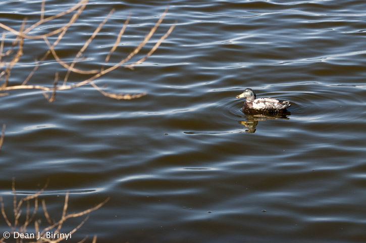
Duck decoy.
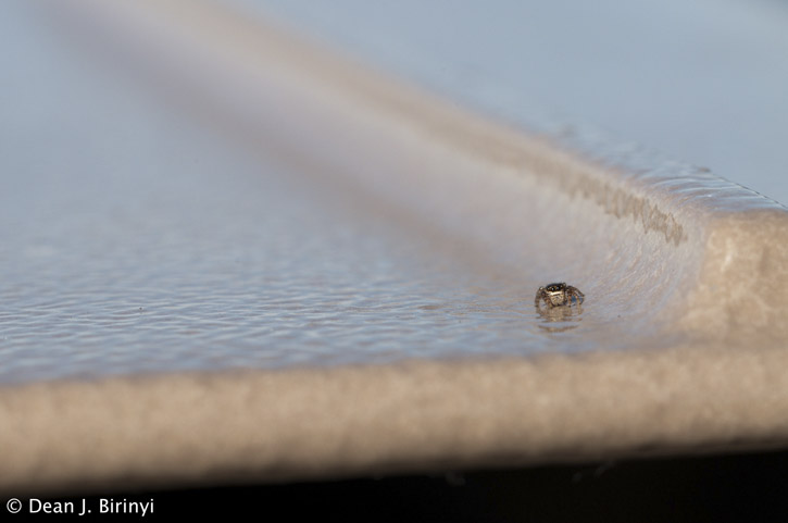
A tiny jumping spider atop a set of mounted binoculars next to an edumacational plaque along the trail.
The zeppelin Eureka heading home.
See video here:
.
On Halloween afternoon, D. and I decided to get some fresh air since it was such a mild, pleasant day. We returned to the Moffett Bay Trail to see the part of the new segment we didn't have time to walk the last time we were there. We took some pics; first up, mine.
Welcome to the Bay Trail. Please follow the rules.

Looking out across the reeds growing on the edge of a former salt pond converted into an oxidation pond by the water pollution control plant in Sunnyvale. The Diablo Range is visible in the distance.

An egret perches along the channel next to the oxidation ponds. The yellow sign warns of "invisible dangers" (it is a sewage treatment pond, after all).

Number on the leg of a high-tension tower nestled among the reeds alongside the trail.

Ladybug on fennel.

Aerial survey marker next to the trail, so surveying airplanes can see what's what and where's where.

Because managing water among the sloughs, salt ponds and water treatment oxidation ponds is critical, the various channels are kept separate by levees. Along this stretch we see how the water levels are different (higher on the right).

Another view across the oxidation pond toward the Diablo Range.

Power lines stride across the marsh.

The lonely world of the black-necked stilt.


Maybe at one time this was the case, but no longer. It is not an actual street, but it does go all the way through now that the new trail segment is open.


A turkey vulture soars over an oxidation pond near the trail.

Hmm.

Sketching?


*waves*


Killjoys.


We'll never know what the danger was.

Looking down the trail.

Across from the fence with the signs, we find a row of short, shrubby olive trees full of fruit.


We suspect they are there as a visual privacy screen, given the nature of the place with the signs. Although all they would be screening the complex from is duck hunters out in the salt ponds. And now that the Bay Trail goes along their back fence, how much privacy can they reasonably expect?

Still, just in case they are touchy about this, they will remain The Place-That-Shall-Not-Be-Named in this blog.

It's duck season. Don't fall for it, Daffy! It's a trap! Stay away!


I love those domes. They are cool. They are the lungs of the wind tunnel.

Have I mentioned I love their domes?

So, no trespassing, but it's okay to store funky old RVs there, apparently.


Behind a barbed-wire-topped fence, these dilapidated steps lead down into a salt pond.

It's a bird! It's a plane! It's the zeppelin Eureka!

It flies directly over our heads to land at Moffett Field's Hangar Two, about a mile away. How many people can say they've had a zeppelin fly directly over their head?

A pair of mallards find a late afternoon snack in Sunnyvale Creek's West Channel, not far from where it flows into Guadalupe Slough.

❧ ❧ ❧ ❧ ❧ ❧ ❧ ❧ ❧ ❧ ❧ ❧ ❧ ❧ ❧ ❧ ❧ ❧ ❧ ❧
And here are D.'s pics.
A hunter on his way to the duck blinds out in the middle of the salt pond. He's stopping to lock the gate behind him.

This part of the trail doesn't exactly have the friendliest feeling to it.

Looking down the trail toward Sunnyvale and the landfill and water pollution control plant, with the ever-present power lines alongside.


A bee enjoys visiting this California dandelion.

This warehouse roof has an unusual structure.

RBF control. On the aerial survey marker. Mmm-hmm.


A dragonfly zooms over the channel.

Not a through street.

The trail.

Olives growing on the shrubby trees screening The Place-That-Shall-Not-Be-Named from the notoriously prying and inquisitive duck hunters.

A few dunlins probe for tiny critters to eat in the shallow pond alongside the trail.

Ubiquitous sights in the salt ponds: power lines and pilings.

Duck decoy.

A tiny jumping spider atop a set of mounted binoculars next to an edumacational plaque along the trail.

The zeppelin Eureka heading home.

See video here:
.