Lower Crystal Springs Reservoir and Eugene A. Doran Bridge, San Mateo
Lower Crystal Springs Reservoir and Eugene A. Doran Bridge, San Mateo
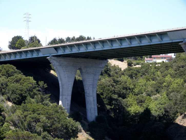
The Eugene A. Doran Bridge on Interstate 280 spans the gap over San Mateo Creek and the Crystal Springs Dam, which holds the Crystal Springs Reservoir and prevents it from engulfing the downstream city of San Mateo, which is about 200 feet lower than the dam.
The dam was built in 1888, raised a few feet in 1891 (they thought it would take the reservoir 10 years to fill up, but it only took a year), and raised again in 1911, to its present height of 154 feet. Although it showed no damage from the great 1906 earthquake or the 1989 Loma Prieta earthquake (in spite of being only a couple of hundred feet from the San Andreas Fault, which runs under the reservoir), it is well over 100 years old and is due for extensive repairs and renovations next year.
Eugene Doran, for whom the bridge on the Interstate was named, was a Hillsborough, California, Police Officer who was killed in the line of duty in August 1959. The bridge on the Interstate was built in 1967, and was named in his memory in 1969. The bridge also won an award from the American Institute of Steel Construction: Most Beautiful Bridge, Medium Span - High Clearance, awarded in 1970.
Last Sunday D. and I went to look at the bridge, over which we've each driven hundreds of times but never knew what it looked like at all underneath, let alone that it was so beautiful, and I took these pics.
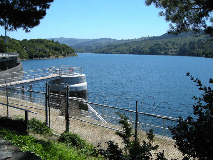
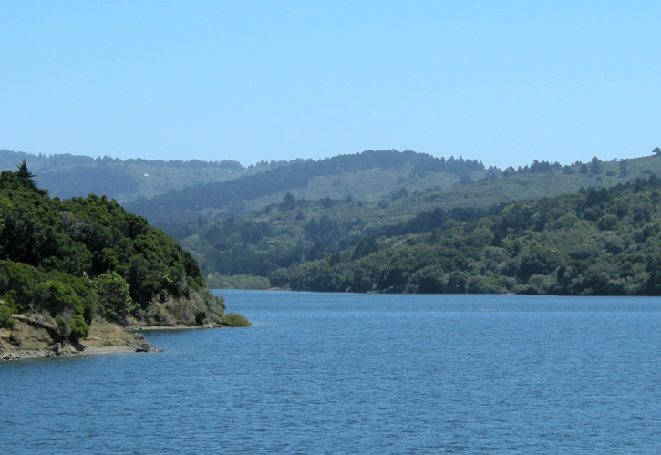
Looking at Lower Crystal Springs Reservoir, toward the southwest.
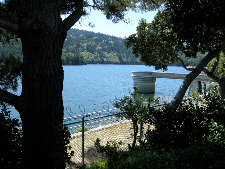
Looking at the reservoir, toward the northwest.
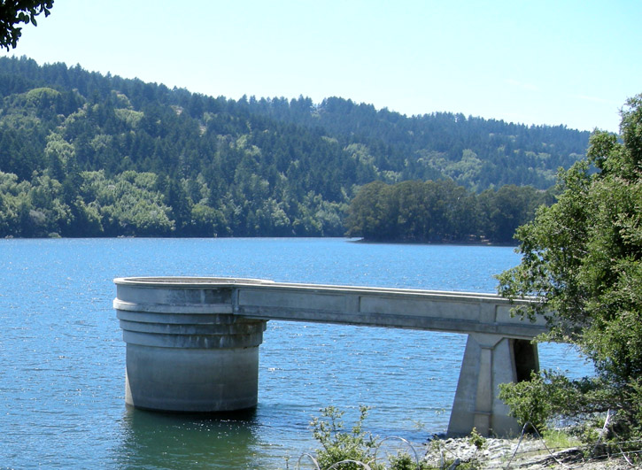
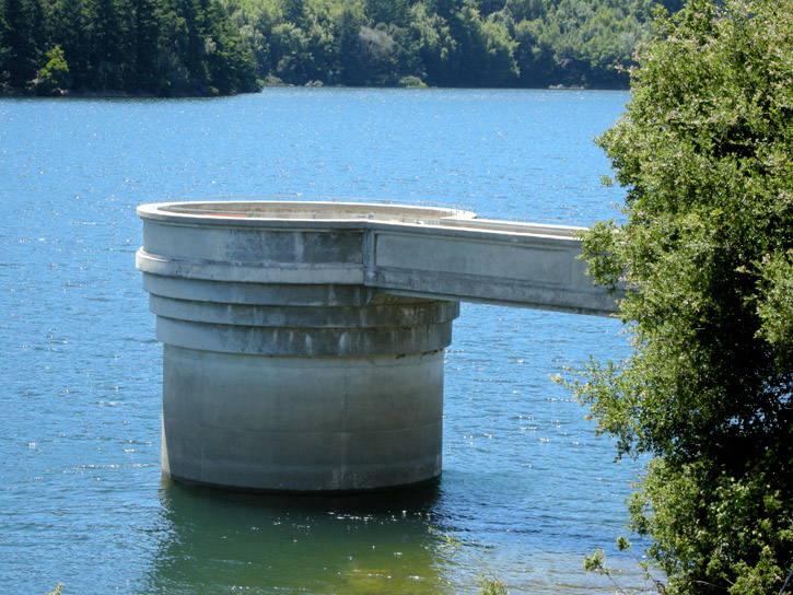
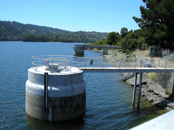
Those tower things coming up out of the water are part of the system that pumps water north into San Andreas Lake (another reservoir, for which the earthquake fault running underneath it was named).
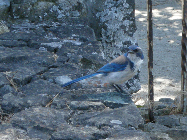
A scrub jay in the parking lot is hopeful for a scrap of food from us.
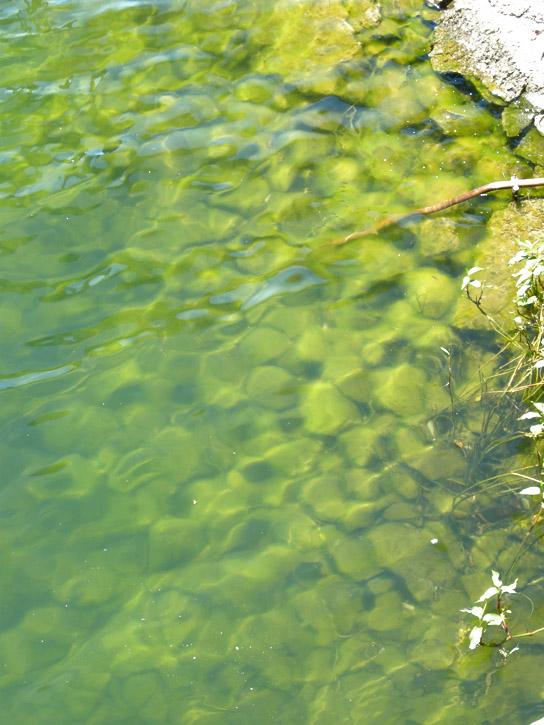
The water at the shore of the reservoir is green with algae.
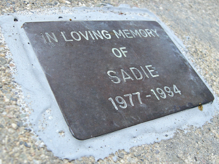
A small memorial plaque on Crystal Springs Dam.
A view of the reservoir from the dam.
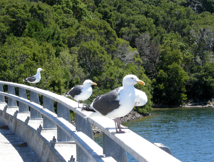
The peanut gallery convenes along Crystal Springs Dam.
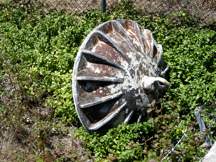
ZOMG, the whole reservoir's gonna drain away!!!11!

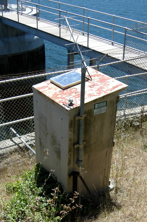
The U.S. Geological Survey operates a stream gaging station at the side of the reservoir. The station is part of a national network for obtaining water resources information such as water level and rate of flow, which is used for flood forecasting, reservoir operations and many other projects. Real-time data is recorded at 15 to 60 minute intervals, stored onsite, and then transmitted to the USGS every 1 to 4 hours, depending on the data relay technique used. Data from real-time sites is relayed to USGS offices via satellite, telephone, and/or radio and is available for viewing on the USGS website within minutes of arrival.
Out on the dam, we get our first look at the bridge.
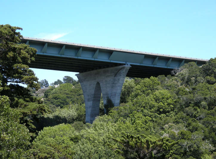
We find the road that goes directly under the bridge. Wow!
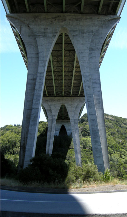

It's about 350 feet from the road up to the bridge.
We climb the slope under the north end of the bridge, seeking more dramatic angles.
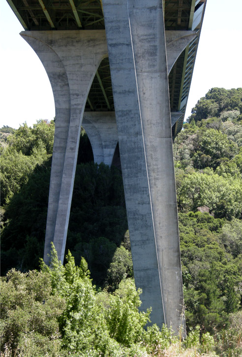
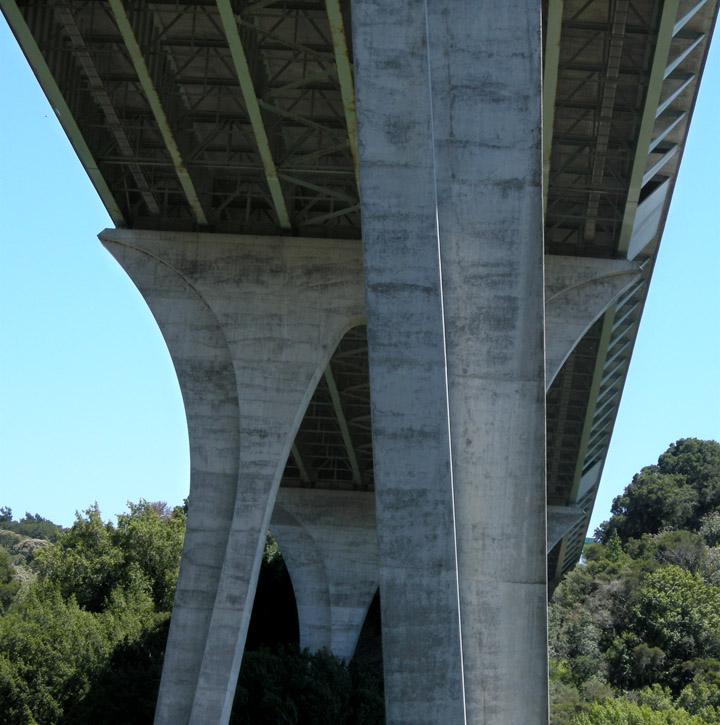
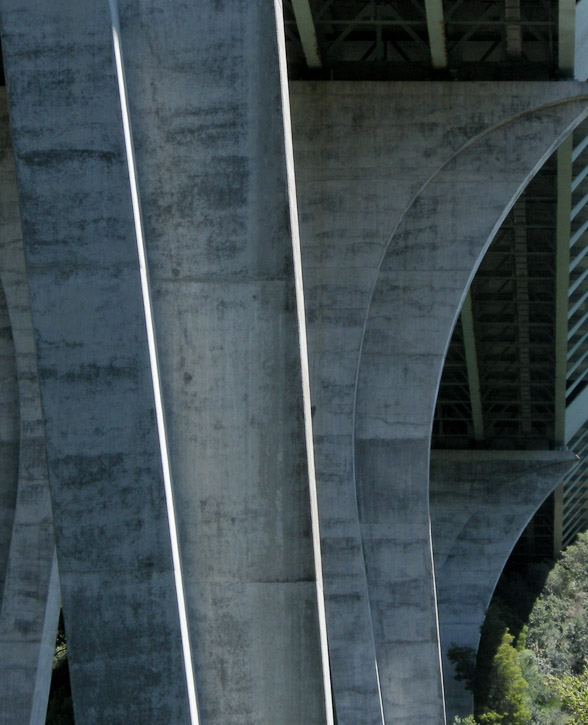
We stop halfway up to rest and look up into the bridge's understructure.
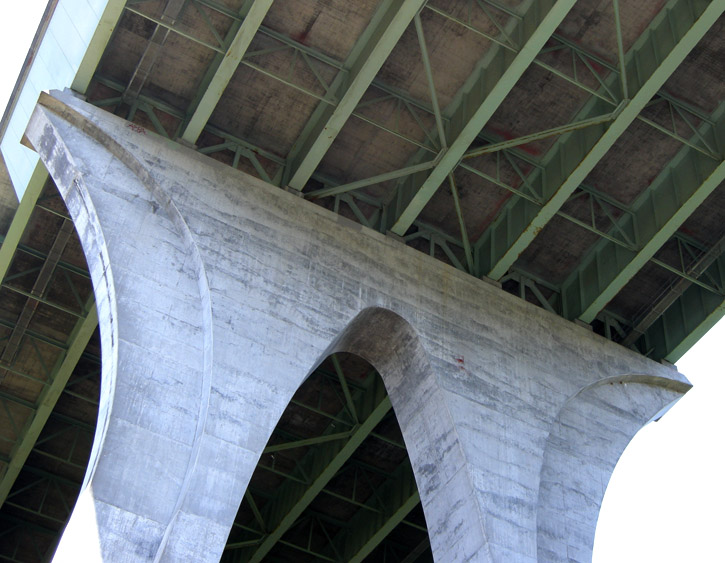
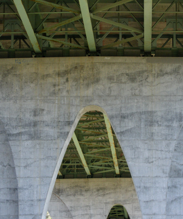
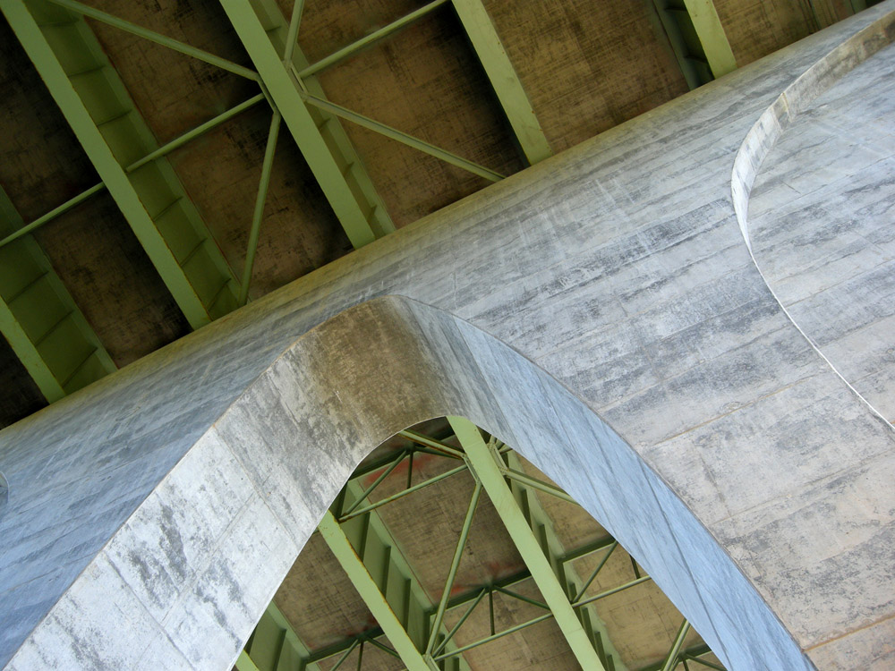
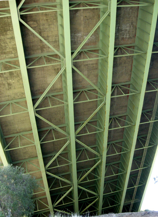
Girders. One of the catwalks is visible close to the right-hand margin of the bridge.
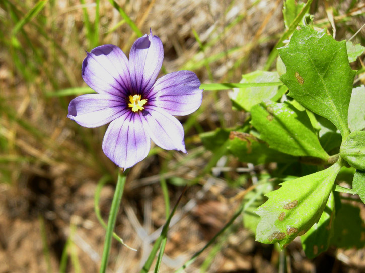
Blue-eyed grass growing below the bridge. It's not a true grass, but an iris relative. This is an odd place to find it.
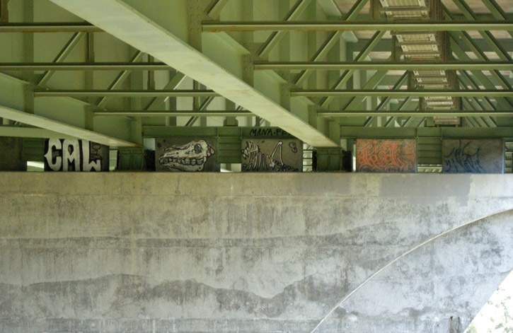
Up under the north end of the bridge, we get a good look at some graffiti behind the chain-link fence.

Yes, that's graffiti up there. There are ways, of course, to get through the chain-link fence around the end of the bridge and up to catwalk that spans the length of the bridge's underside. You'd have to be insane to do that, IMHO.
We are over 350 feet up from the road and I am very, very nervous.
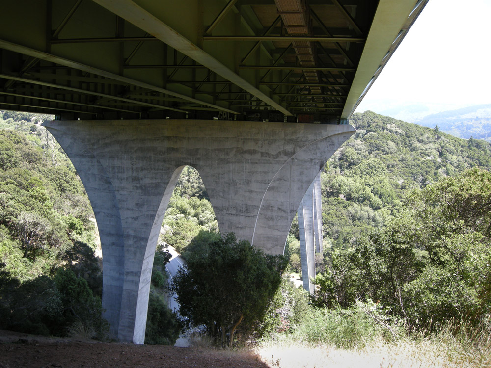
You can see another catwalk directly overhead.
We can see the dam and the reservoir from up here. I am very nervous in spite of the beautiful view; it is literally breathtaking.
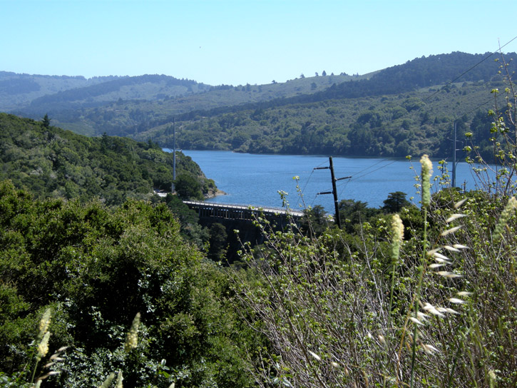
I feel faint just looking at this pic, and I was actually there in person. I don't know how I managed not to freak out.
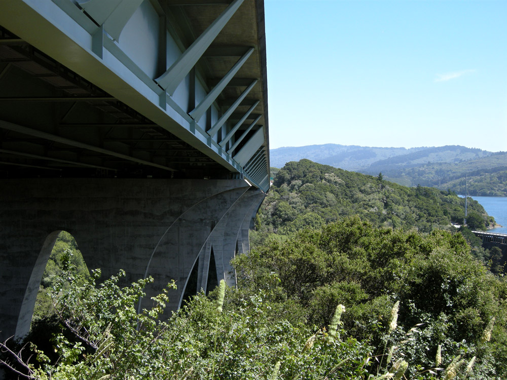
On our way back down we pause to rest next to one of the massive supports, and we see some peculiar graffiti.
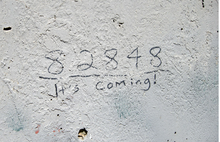
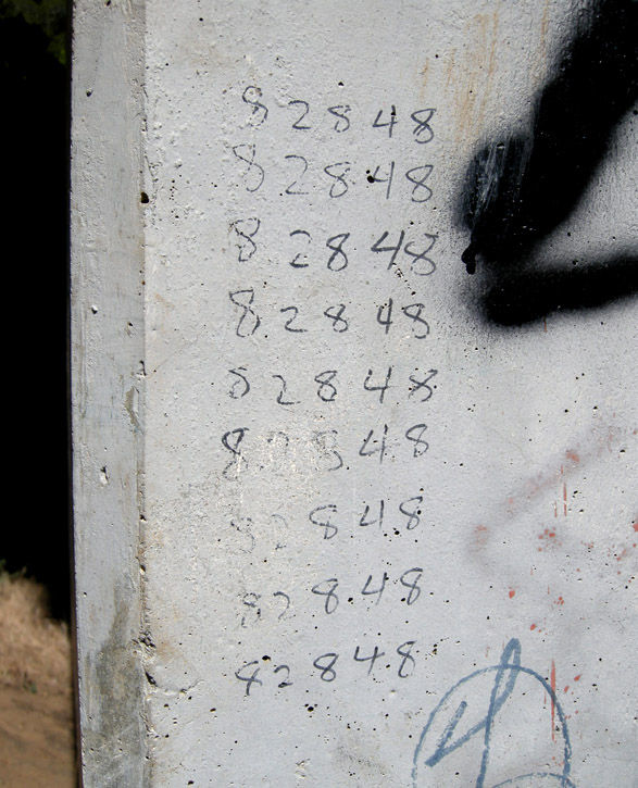
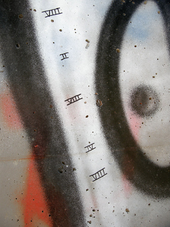
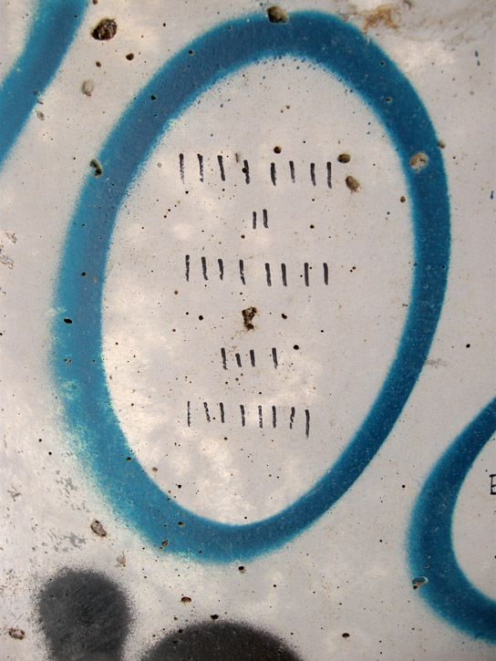

Well, whoever they are, they're very thorough, and whatever it is, it's coming.

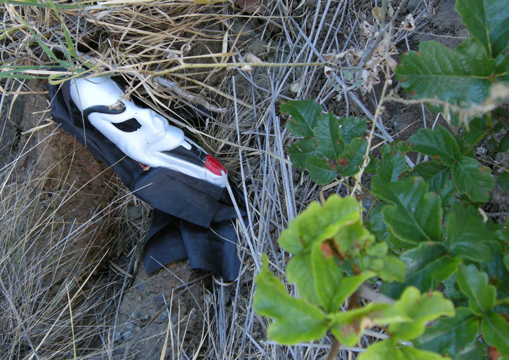
Look what else we see on our way down, nestled among the poison oak.
About halfway down, we get one last look at Crystal Springs Dam, with the roof of the San Mateo County Sheriff's facility visible at the bottom of the pic.
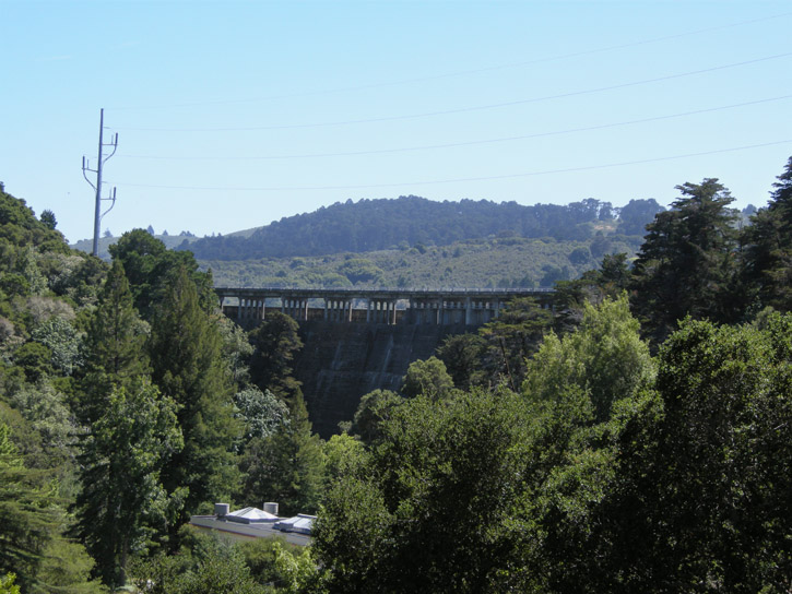
I wonder if the people who work there ever get nervous?
Especially during earthquakes . . . with that dam looming over them . . .
.
The Eugene A. Doran Bridge on Interstate 280 spans the gap over San Mateo Creek and the Crystal Springs Dam, which holds the Crystal Springs Reservoir and prevents it from engulfing the downstream city of San Mateo, which is about 200 feet lower than the dam.
The dam was built in 1888, raised a few feet in 1891 (they thought it would take the reservoir 10 years to fill up, but it only took a year), and raised again in 1911, to its present height of 154 feet. Although it showed no damage from the great 1906 earthquake or the 1989 Loma Prieta earthquake (in spite of being only a couple of hundred feet from the San Andreas Fault, which runs under the reservoir), it is well over 100 years old and is due for extensive repairs and renovations next year.
Eugene Doran, for whom the bridge on the Interstate was named, was a Hillsborough, California, Police Officer who was killed in the line of duty in August 1959. The bridge on the Interstate was built in 1967, and was named in his memory in 1969. The bridge also won an award from the American Institute of Steel Construction: Most Beautiful Bridge, Medium Span - High Clearance, awarded in 1970.
Last Sunday D. and I went to look at the bridge, over which we've each driven hundreds of times but never knew what it looked like at all underneath, let alone that it was so beautiful, and I took these pics.
Looking at Lower Crystal Springs Reservoir, toward the southwest.

Looking at the reservoir, toward the northwest.

Those tower things coming up out of the water are part of the system that pumps water north into San Andreas Lake (another reservoir, for which the earthquake fault running underneath it was named).


A scrub jay in the parking lot is hopeful for a scrap of food from us.

The water at the shore of the reservoir is green with algae.

A small memorial plaque on Crystal Springs Dam.

A view of the reservoir from the dam.

The peanut gallery convenes along Crystal Springs Dam.

ZOMG, the whole reservoir's gonna drain away!!!11!


The U.S. Geological Survey operates a stream gaging station at the side of the reservoir. The station is part of a national network for obtaining water resources information such as water level and rate of flow, which is used for flood forecasting, reservoir operations and many other projects. Real-time data is recorded at 15 to 60 minute intervals, stored onsite, and then transmitted to the USGS every 1 to 4 hours, depending on the data relay technique used. Data from real-time sites is relayed to USGS offices via satellite, telephone, and/or radio and is available for viewing on the USGS website within minutes of arrival.

Out on the dam, we get our first look at the bridge.


We find the road that goes directly under the bridge. Wow!


It's about 350 feet from the road up to the bridge.
We climb the slope under the north end of the bridge, seeking more dramatic angles.


We stop halfway up to rest and look up into the bridge's understructure.


Girders. One of the catwalks is visible close to the right-hand margin of the bridge.

Blue-eyed grass growing below the bridge. It's not a true grass, but an iris relative. This is an odd place to find it.

Up under the north end of the bridge, we get a good look at some graffiti behind the chain-link fence.

Yes, that's graffiti up there. There are ways, of course, to get through the chain-link fence around the end of the bridge and up to catwalk that spans the length of the bridge's underside. You'd have to be insane to do that, IMHO.

We are over 350 feet up from the road and I am very, very nervous.


You can see another catwalk directly overhead.
We can see the dam and the reservoir from up here. I am very nervous in spite of the beautiful view; it is literally breathtaking.

I feel faint just looking at this pic, and I was actually there in person. I don't know how I managed not to freak out.


On our way back down we pause to rest next to one of the massive supports, and we see some peculiar graffiti.


Well, whoever they are, they're very thorough, and whatever it is, it's coming.


Look what else we see on our way down, nestled among the poison oak.

About halfway down, we get one last look at Crystal Springs Dam, with the roof of the San Mateo County Sheriff's facility visible at the bottom of the pic.

I wonder if the people who work there ever get nervous?

Especially during earthquakes . . . with that dam looming over them . . .

.