Sierra Azul Open Space Preserve
Sierra Azul Open Space Preserve
On Saturday, D. and I took a drive out to the Mt. Umunhum area of Sierra Azul Open Space Preserve, and I took a few pics during our abbreviated walk in the damp, chilly air.
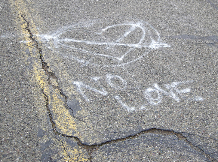
Oh dear.
Looking south off Mt. Umunhum Rd. to a ridge outlined by the lowering sun.
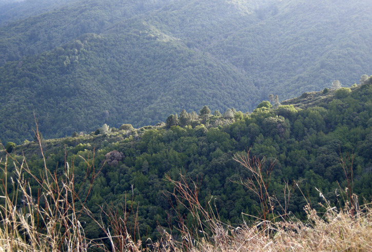
This is prime mountain lion country (but we did not see any, alas).
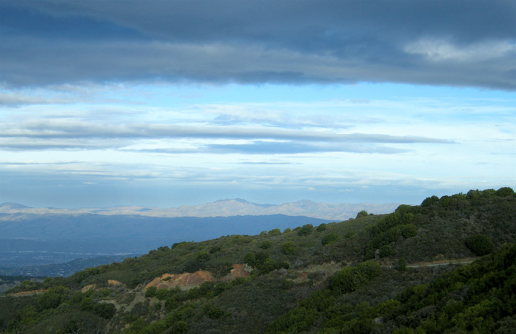
Looking east past Bald Mtn., with the Diablo Range on the horizon, and the town of Morgan Hill nestled in the valley between.
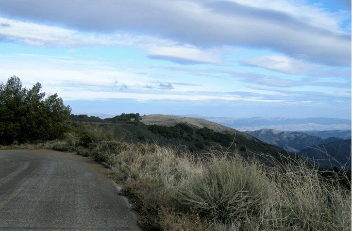
Views north from the Barlow Rd. trail, off Mt. Umunhum Rd. We see the greater Santa Clara Valley in the distance.
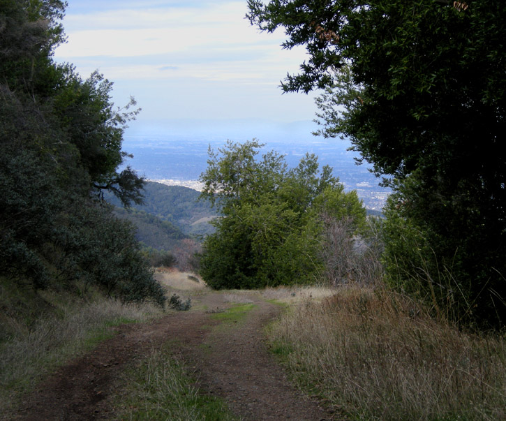
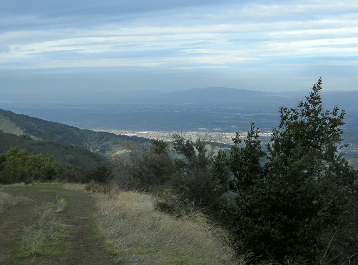
Looking east from the Barlow Rd. trail as it winds around the side of Mt. Umunhum, toward the Diablo Range. Most of the Santa Clara Valley is in shadow, as the afternoon wanes and rain clouds gather.
Another turn in the trail brings us a view of the summit of Mt. Umunhum, with its distinctive monolithic 80-foot-tall radar structure, part of the abandoned Almaden Air Force Base early-warning network (the radar dish itself is long gone). There is no public access to the summit due to toxic contaminants, physical hazards and intervening private property (although it has been infiltrated many times by urban explorers).
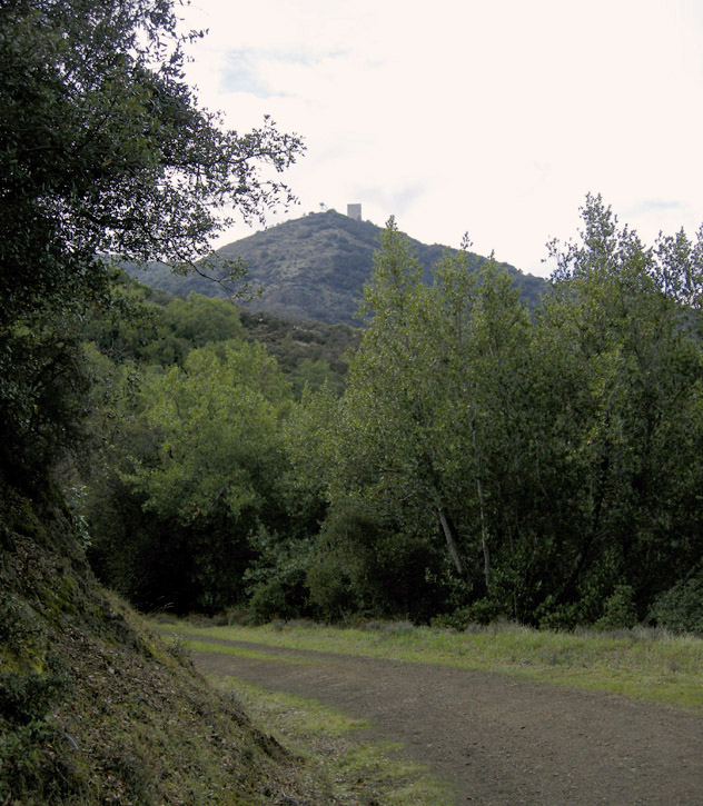
Many people feel the Air Force's treatment of the site has desecrated a peak that the Ohlone Indians considered sacred ("umunhum" is Ohlone for "resting place of the hummingbird"). The Midpeninsula Regional Open Space District is working with the federal government to clean up the site and restore a more natural condition suitable for public access.
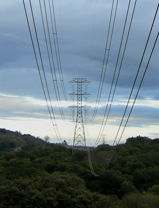
On our way back down Mt. Umunhum Rd., we pass under the rigid embrace of the ubiquitous powerlines that stride across the ridges.
.
On Saturday, D. and I took a drive out to the Mt. Umunhum area of Sierra Azul Open Space Preserve, and I took a few pics during our abbreviated walk in the damp, chilly air.
Oh dear.


Looking south off Mt. Umunhum Rd. to a ridge outlined by the lowering sun.

This is prime mountain lion country (but we did not see any, alas).
Looking east past Bald Mtn., with the Diablo Range on the horizon, and the town of Morgan Hill nestled in the valley between.

Views north from the Barlow Rd. trail, off Mt. Umunhum Rd. We see the greater Santa Clara Valley in the distance.


Looking east from the Barlow Rd. trail as it winds around the side of Mt. Umunhum, toward the Diablo Range. Most of the Santa Clara Valley is in shadow, as the afternoon wanes and rain clouds gather.

Another turn in the trail brings us a view of the summit of Mt. Umunhum, with its distinctive monolithic 80-foot-tall radar structure, part of the abandoned Almaden Air Force Base early-warning network (the radar dish itself is long gone). There is no public access to the summit due to toxic contaminants, physical hazards and intervening private property (although it has been infiltrated many times by urban explorers).

Many people feel the Air Force's treatment of the site has desecrated a peak that the Ohlone Indians considered sacred ("umunhum" is Ohlone for "resting place of the hummingbird"). The Midpeninsula Regional Open Space District is working with the federal government to clean up the site and restore a more natural condition suitable for public access.
On our way back down Mt. Umunhum Rd., we pass under the rigid embrace of the ubiquitous powerlines that stride across the ridges.

.