Loma Prieta 20th Anniversary Earthquake Walk, Los Trancos Open Space Preserve
Loma Prieta 20th Anniversary Earthquake Walk, Los Trancos Open Space Preserve
On Saturday, October 17, the 20th anniversary of the Loma Prieta earthquake, D. and I and a dozen others joined Midpeninsula Regional Open Space District Docents Paul and Ann at Los Trancos Open Space Preserve to learn about the impact of earthquakes on the local landscape. There was a lot to learn: the San Andreas Fault was almost directly underfoot! Here's some pics I took.
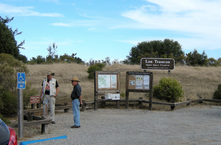
We begin to gather at the trailhead at Los Trancos.
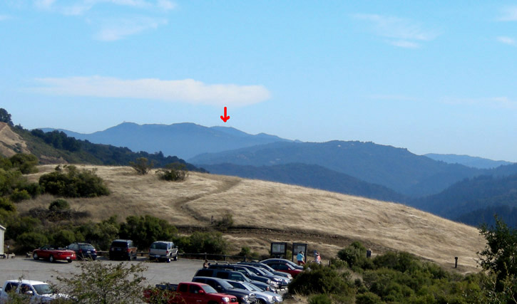
As we set out uphill on the Franciscan Loop Trail, looking south we can see Loma Prieta (red arrow), about 30 miles away, under which was the epicenter of the earthquake.
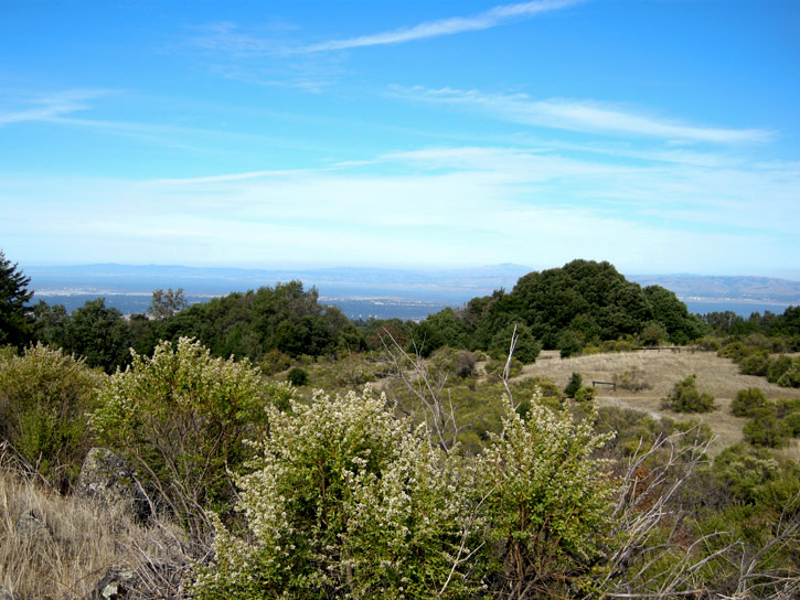
Rising higher on the trail, we catch a view of the East Bay through the foreground brush.
Poison oak, rampant in the preserve, is turning beautiful autumn colors.
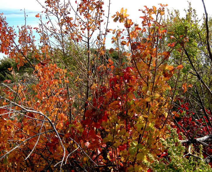
Look, but don't touch!
Another turn in the trail gives us a view to the north.
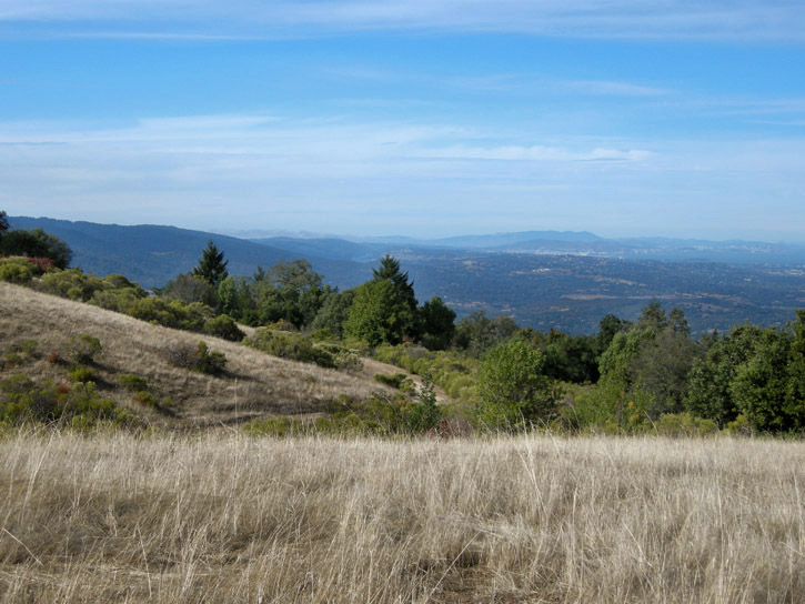
A dry grassy hillside is tawny in the afternoon light.
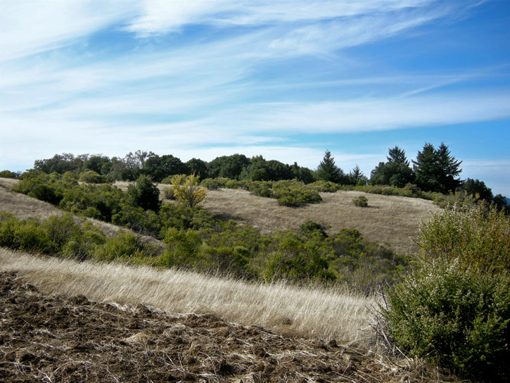
On our way over to the San Andreas Fault Trail, we see these treetops tracing the actual fault.
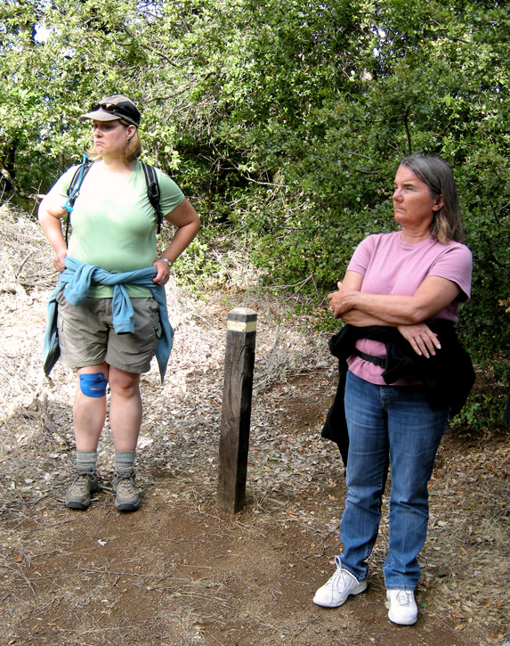
On the San Andreas Fault Trail, these posts mark the trace of the fault through the preserve.
Poison oak along the San Andreas Fault trail.
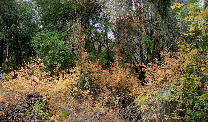
New England has its spectacular maples; California has its stunning poison oak.
Just don't touch!
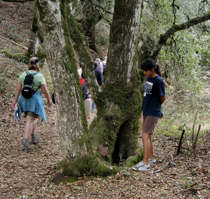
This tree is growing directly on the fault. It was probably only a few years old during the 1906 earthquake, where up to 20-foot surface ruptures were measured in the region. The tree's roots anchored it in the ground but it got twisted around during the shaking as the North American Plate on one side of the fault moved one way and the Pacific Plate on other side moved the other way, resulting in its odd form.
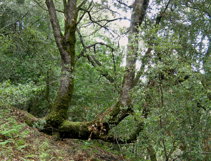
This tree was also pretty young during the 1906 earthquake, which toppled it down a slope. Its roots held, and its branches, no longer parallel to the ground, turned upward to become new trunks.
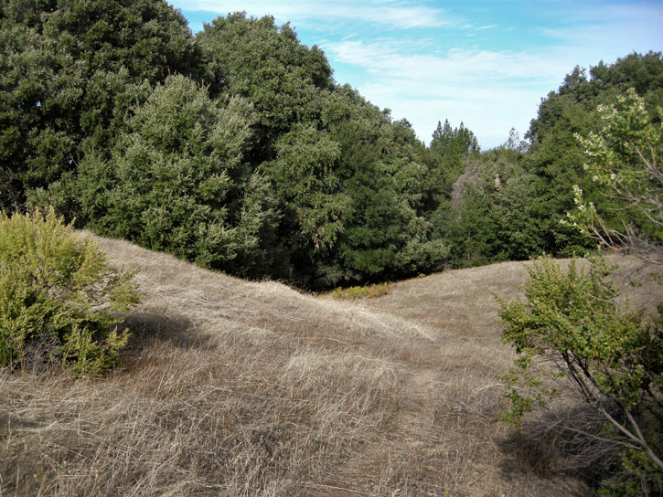
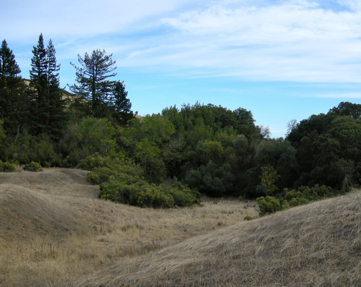
After a break to have snacks and talk about our own Loma Prieta Earthquake experiences, we crossed over into Monte Bello Open Space Preserve to follow the fault. We see it here as the low spot in the pic.
Following the Canyon Trail, we come to a spring-fed sag pond, which forms where water collects in the lowest parts of the depression that forms along a fault.
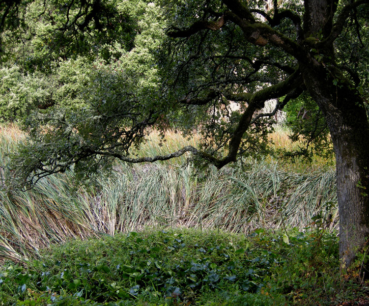
This one is a permanent sag pond, and is almost choked with cattails and other vegetation that can flourish with a year-round supply of water.
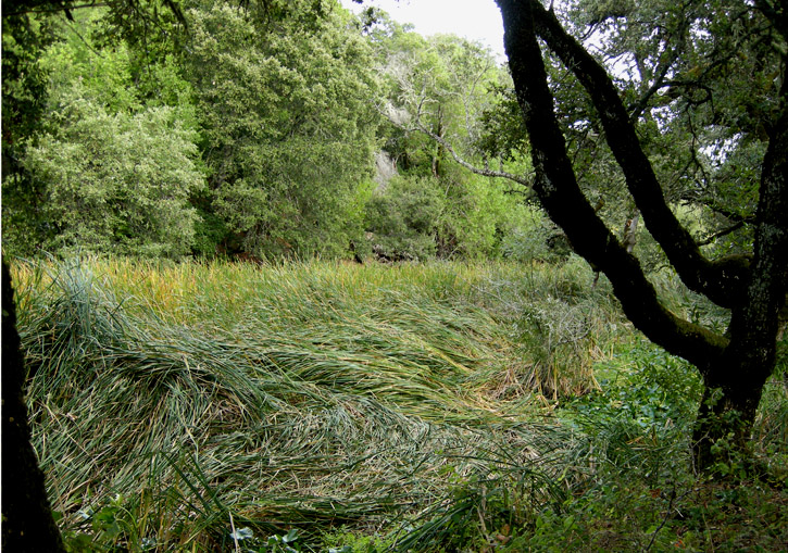
Take my word for it, there's actually water in there.
Monte Bello Preserve has plenty of poison oak as well.
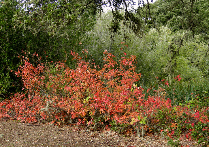
It's pretty, but don't touch!
We acend the Stevens Creek Nature Trail to a lookout to get another view of Loma Prieta.
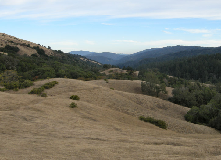
At 5:04 PM, the time of the earthquake, we pause for a moment of silence lasting 15 seconds, the duration of temblor.
Twenty years ago, I was lucky. I was living in San Francisco during the earthquake, and while I was scared to death as my 90-year-old apartment building violently rolled and swayed and shook and groaned deafeningly for 15 endless seconds, I was not injured and nothing was damaged, to my utter surprise. The block I lived on was at the foot of a hill and was close to bedrock. Three blocks away, closer to an underground creek, the soil was soft enough that several homes got severely damaged. Throughout the Bay Area, 63 people lost their lives, thousands were left homeless, and billions of dollars of damage was incurred. They are still rebuilding the eastern span of the Bay Bridge, 20 years after a section of the upper deck collapsed onto the lower deck. Some people left the Bay Area for good, having had enough trauma. Most, however, stayed put and did what they could to rebuild and move on with their lives. And life goes on.
By the way, the "Big One" is still due to happen, any time now . . .
.
On Saturday, October 17, the 20th anniversary of the Loma Prieta earthquake, D. and I and a dozen others joined Midpeninsula Regional Open Space District Docents Paul and Ann at Los Trancos Open Space Preserve to learn about the impact of earthquakes on the local landscape. There was a lot to learn: the San Andreas Fault was almost directly underfoot! Here's some pics I took.
We begin to gather at the trailhead at Los Trancos.

As we set out uphill on the Franciscan Loop Trail, looking south we can see Loma Prieta (red arrow), about 30 miles away, under which was the epicenter of the earthquake.

Rising higher on the trail, we catch a view of the East Bay through the foreground brush.

Poison oak, rampant in the preserve, is turning beautiful autumn colors.

Look, but don't touch!

Another turn in the trail gives us a view to the north.

A dry grassy hillside is tawny in the afternoon light.

On our way over to the San Andreas Fault Trail, we see these treetops tracing the actual fault.

On the San Andreas Fault Trail, these posts mark the trace of the fault through the preserve.

Poison oak along the San Andreas Fault trail.

New England has its spectacular maples; California has its stunning poison oak.

Just don't touch!

This tree is growing directly on the fault. It was probably only a few years old during the 1906 earthquake, where up to 20-foot surface ruptures were measured in the region. The tree's roots anchored it in the ground but it got twisted around during the shaking as the North American Plate on one side of the fault moved one way and the Pacific Plate on other side moved the other way, resulting in its odd form.

This tree was also pretty young during the 1906 earthquake, which toppled it down a slope. Its roots held, and its branches, no longer parallel to the ground, turned upward to become new trunks.

After a break to have snacks and talk about our own Loma Prieta Earthquake experiences, we crossed over into Monte Bello Open Space Preserve to follow the fault. We see it here as the low spot in the pic.

Following the Canyon Trail, we come to a spring-fed sag pond, which forms where water collects in the lowest parts of the depression that forms along a fault.

This one is a permanent sag pond, and is almost choked with cattails and other vegetation that can flourish with a year-round supply of water.

Take my word for it, there's actually water in there.
Monte Bello Preserve has plenty of poison oak as well.

It's pretty, but don't touch!

We acend the Stevens Creek Nature Trail to a lookout to get another view of Loma Prieta.

At 5:04 PM, the time of the earthquake, we pause for a moment of silence lasting 15 seconds, the duration of temblor.
Twenty years ago, I was lucky. I was living in San Francisco during the earthquake, and while I was scared to death as my 90-year-old apartment building violently rolled and swayed and shook and groaned deafeningly for 15 endless seconds, I was not injured and nothing was damaged, to my utter surprise. The block I lived on was at the foot of a hill and was close to bedrock. Three blocks away, closer to an underground creek, the soil was soft enough that several homes got severely damaged. Throughout the Bay Area, 63 people lost their lives, thousands were left homeless, and billions of dollars of damage was incurred. They are still rebuilding the eastern span of the Bay Bridge, 20 years after a section of the upper deck collapsed onto the lower deck. Some people left the Bay Area for good, having had enough trauma. Most, however, stayed put and did what they could to rebuild and move on with their lives. And life goes on.
By the way, the "Big One" is still due to happen, any time now . . .
.