I went field work again and I love it!!
You guys just not gonna believe where my work took me to this time.
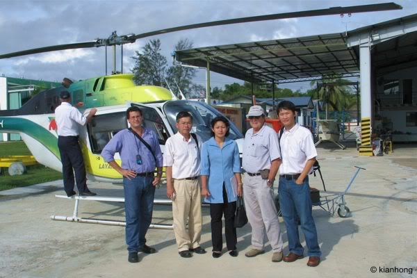
I was in Sabah over the weekend for an aerial survey and everything was so exciting! With a gps connected to my laptop, I helped the pilot to navigate to a potential dam site at the Upper Padas catchment area and pinpoint the dam site according to our map. Above: the standard group photo before take off. From left: Jon, Bob, Soraya, Brian and me.
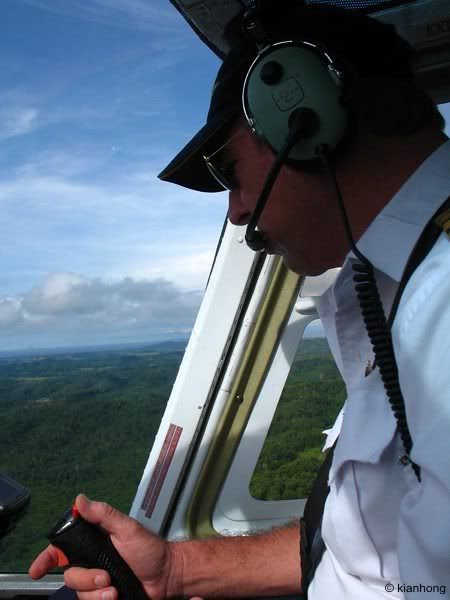
Our pilot - Martin Jon
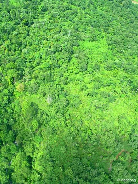
On top of the canopy - captured this photo when the pilot took a sharp bank to circle the dam site.
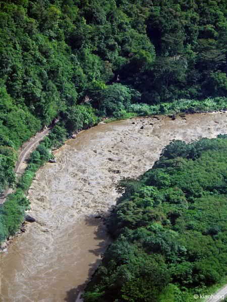
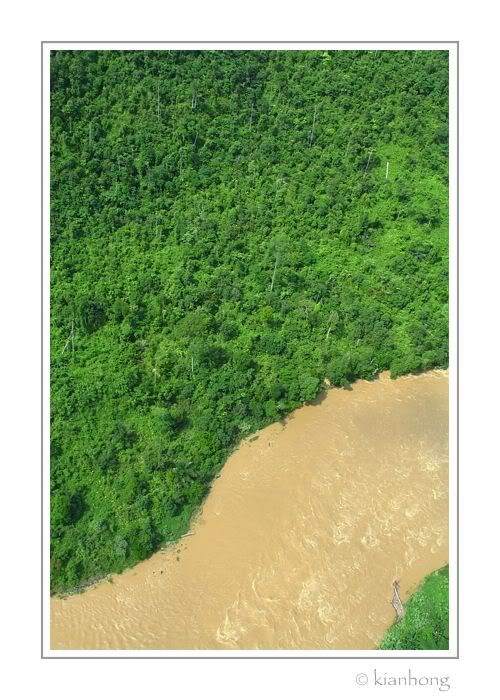
The raging Padas River. No wonder it's such a great place for white water rafting, just look at those rapids.
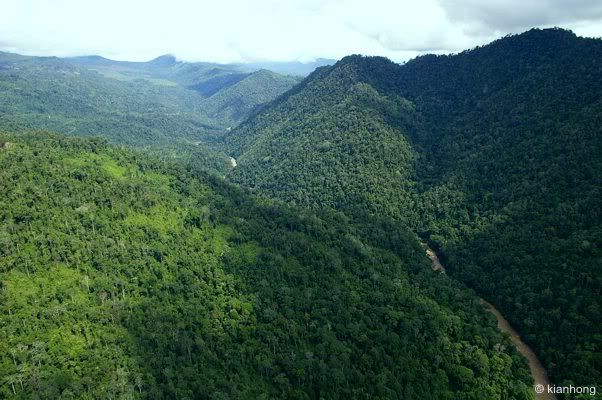
The gorge where a hydroelectric dam might be constructed in the future.
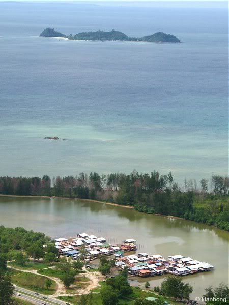
Water village in a lagoon.
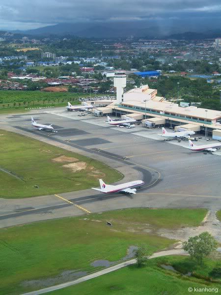
Aerial view of Kota Kinabalu International Airport - took this during the final approach of our chopper to the Layang-layang Aerospace hanger.