late summer is when you can go to mountains
31 July 2013, Grove of the Patriarchs Trail
Much driving with

rushthatspeaks in pearly gray morning-and-midday, eventually to the foothills of Mt. Rainier and up across Cayuse Pass as overcast cleared. Stopped at Skookum Falls lookout and met the river below it. The waterfall was very nearly dry, tiny white trails down the mountainside barely moving. Not the most skookum time of year for waters.
The trip took a bit longer than the Google estimate, and we missed the turnoff for Grove of Patriarchs (we wanted Stevens Canyon, we later found, and even that was invisible from our initial approach). Got gas in Packwood and went back. Guess Zipcar will ding me if we exceeded the mileage limit!

rushthatspeaks suggested that we were too dangerously subversive for the patriarchs, so they moved the sign. I couldn't think of when I had shaved my legs last, so... But we found it, paid the park fee, and ate lunch at a picnic table in the parking lot.
The grove is a nice easy hike with very little elevation change and the biome of my childhood. Met the Ohanapecosh River, which is clear but emerald-green where deep, and ornamented with a rather high-tech single-occupancy suspension bridge that leads to a boardwalk around very large and fine Doug-firs and a redcedar. I climbed from the boardwalk railing onto a huge fallen log and ran along it with my arms outstretched like Scott Pilgrim, foolhardy but so childself-satisfying. Finding home in a place you've never been, and showing it to people you care about, is great.
Total hiking time: about half an hour? Sorry, no pictures from this one.
4 August 2013, Spray Park
Since I had a week's worth of park fee paid, I pestered hattifattener until we got it together to have another hike. This time it was a sunny day that got pretty hot in the lowlands, so it was very clever of us to take off for the mountain.
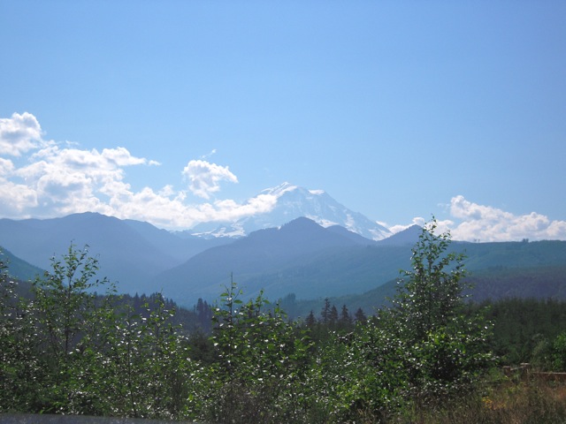
Different part of Mt. Rainier, which is after all gigantic: the Carbon River area. Lots and lots of people by the time we reached the end of the seventeen-mile dirt road (again, Zipcar may have a problem with parts of this outing), so we had to park far from the trailhead and walk in. In a stroke of pure luck, the place was lousy with avalanche lilies -- I knew about these but had never seen them in person, always loved them, and didn't plan it at all.
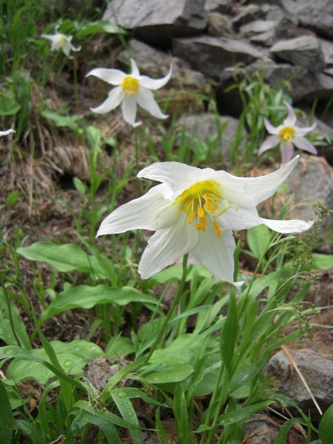
Plenty of other fascinating mountain flora, too, including Dodecatheon with buzz-pollination in progress.

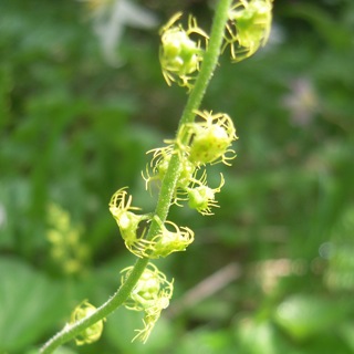
And an old favorite, mitrewort, which is too small to see easily but rewards close examination with extraordinary all-fringe petals.
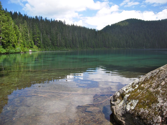
We walked on trails near the dusty, parallel-parked road rather than on it in order to get closer to the irresistibly vivid Lake Mowich. There are trails all along it, it's full of sunken wood, and there's a mysteriously more-turquoise patch in the middle that has to be a shallow spot or something. Coracles were called for, but we didn't have any, so the mystery remains.
The trailhead was at nearly 5000 feet, and I was feeling the altitude enough to eventually demand that we sit down and eat the snacks we'd cleverly gone back for before hitting the long dirt road of doom. My attempts at photographing camprobbers (gray jays) were unsuccessful, but I was happy to see them anyway. Mountain trips are incorrect without camprobbers.
Heading out from the campground, we found that the Spray Falls trail goes down at first, which I'm not a fan of. I want to come down when I'm tired! But there were more alpine flora, some new to me -- Wim jokingly suggested a plant life list. (Not sure I need one, I keep it in my head.) Some steep bits, but not too bad. We'd read that the falls view was a side trip from the main trail and had somehow gotten the idea that it was before the steep switchbacks, so we were concerned that we'd missed it, but Eagle Cliff viewpoint made us pretty happy.

(click through for bigger)
We were mighty! We kept going, through more woods and over streams and across a slightly intimidating talus slope.
And enough trail to leave me disconcertingly wobbly-kneed later, we found Spray Falls.
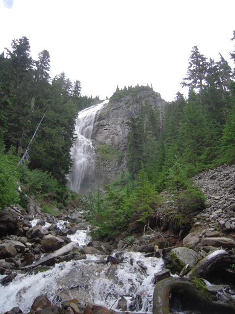
Glorious.
Mimulus and native columbine and cute horned saxifrage near it. I scooted out across the rapids on a naked pair of logs to get a better view. Never did manage to figure out what the fuchsia-colored flowers were on the other shore, as they were too far up. (Very bright Mimulus lewisii? Spirea?) I walked the logs to get back across; it's different when they're sloping upward, seemed far more tenable for walking.
That was enough for me, and we headed back. It did look like the trail got even more steep farther on, but I was already tired and happy enough.
Total hiking time: around 3 hours including messing about by the lake
This entry was originally posted at http://jinian.dreamwidth.org/580408.html. Respond wherever you like.