Images from the Flood in CR
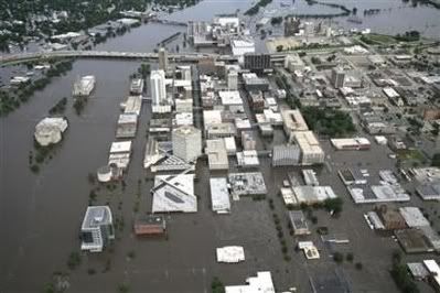
aerial view of downtown.. library in the bottom middle, river to left
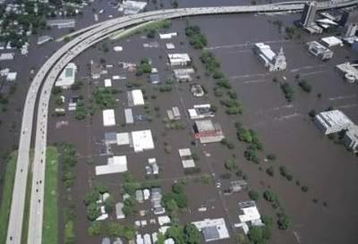
west side of river, I380, main firestation off to top left coverd, courthouse and city hall in the river
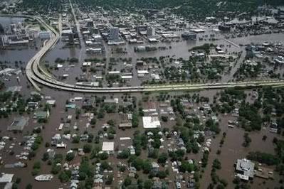
from the west looking east to down town
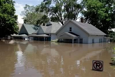
some houses
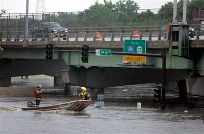
1st have going west, 380 right above it. my house is about 17 blocks from here..
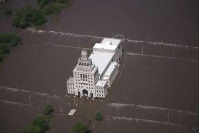
city hall.. ripples is the railings on the 1st and 2nd ave bridges.
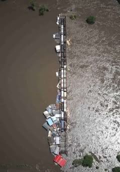
railroad bridge by quaker oats which is surrounded. these are house boats that broke loose up the river. not good. this could collapse the bridge and knock out the interstate whic h is just a few feet away
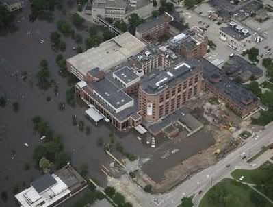
mercy hospital.. had to evacuate.. this is 10 CITY BLOCKS from the river going east.
The flood has taken over 423 city blocks. Damages are estimated at $380 million and could go higher. This is so heartwrenching. I am pretty much stuck on my side of town. if I want to go to the other side I have to travel over the river on 380. The hgwy I go to my parents whichs runs east and west is closed. Lots of road closures and stuff.
There is a town just nw that is completely surrounded by this river