Over 4,200 historic images of Shanghai mapped on PastVu
Highlights of this project appear on the Facebook page Mapping Old Shanghai. Here is a selection of images from the latest hundred:
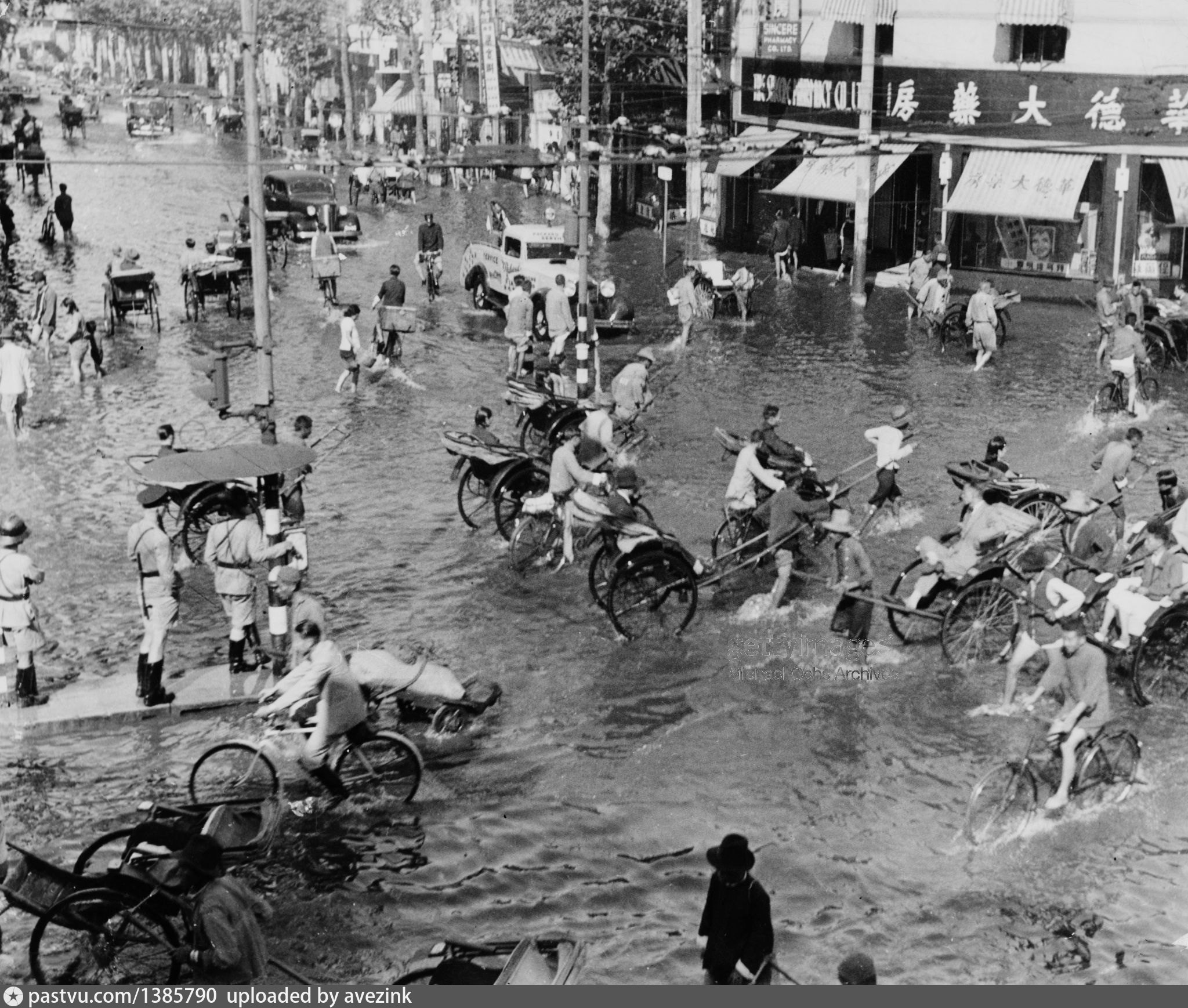
Flood on the corner of Avenue Foch and Seymour Road, during a summer rain in 1940:
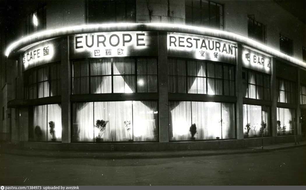
Europe Restaurant, on the corner of Love Lane and Chinhai Road:
[See more images...]
The US Marines club on Seymour Road, close to Sinza Road:
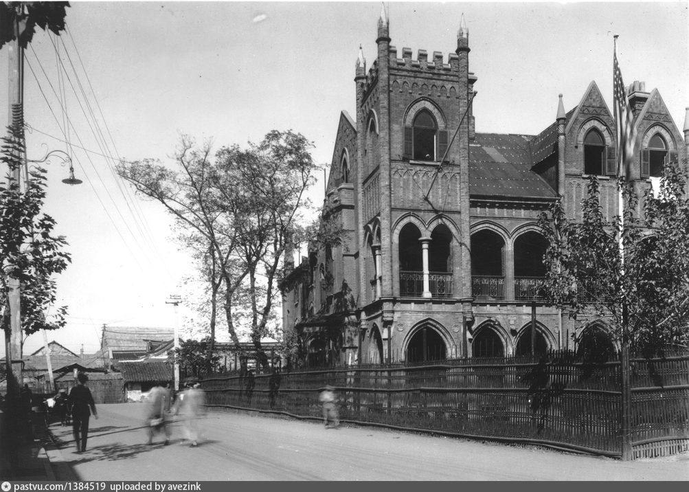
The photo was generously provided by Fred Greguras; I'm preparing a separate post on his contribution to mapping USMC places in Shanghai.
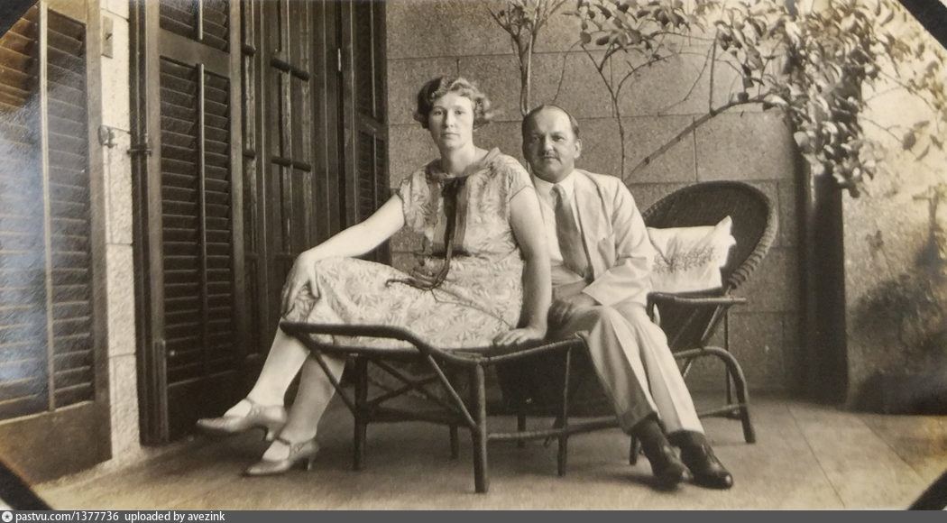
The Dronnikoff couple on the balcony of their General Post Office apartment, in the late 1920s:
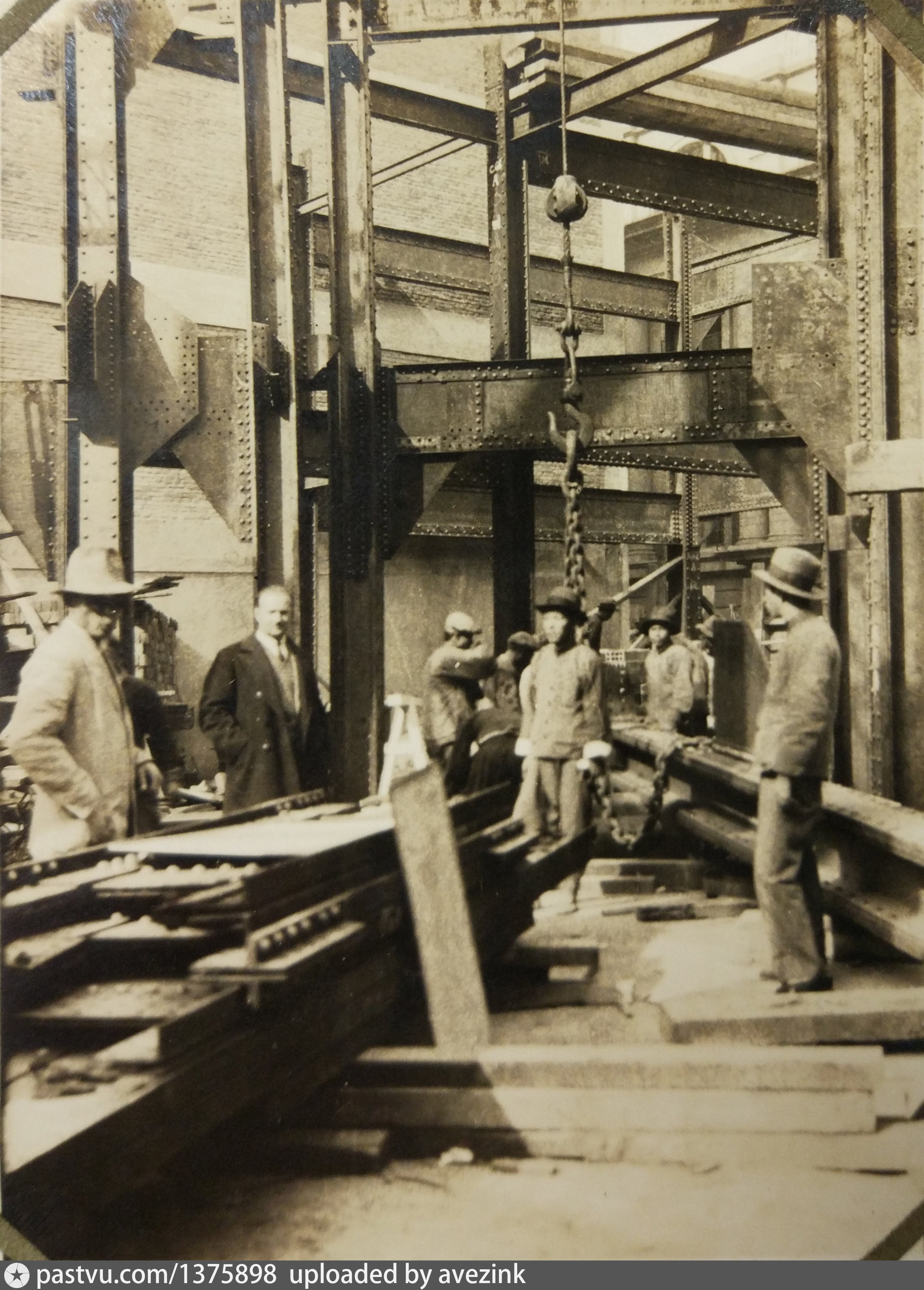
Engineer Nicholas Neckludoff on the site of the Development Building, in 1934-1935:
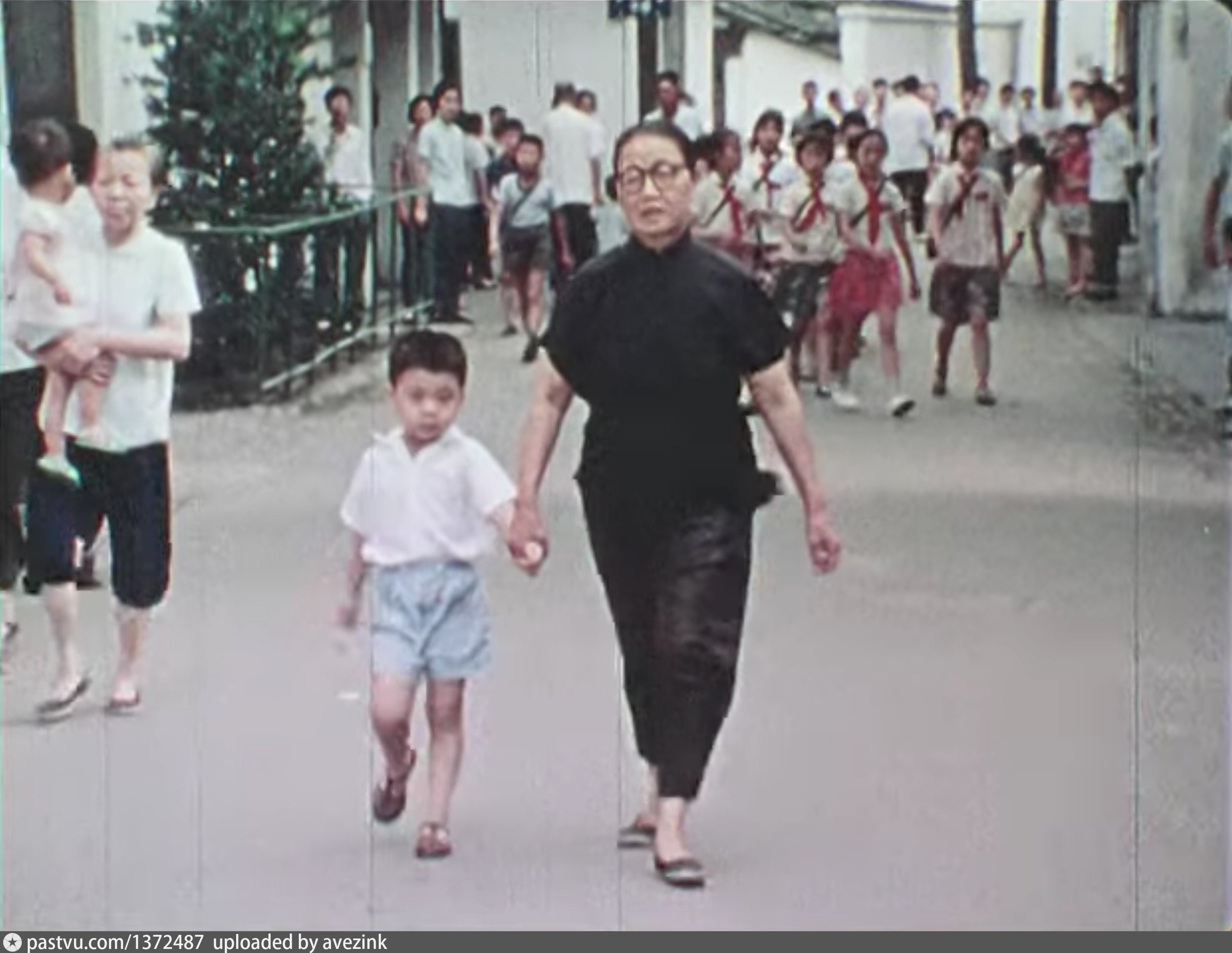
Mrs Wu and her grandson in an alley off West Beijing Road, in 1973:
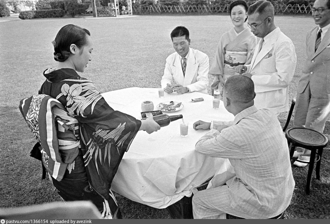
Party for the local and foreign journalists at the Rokusan Gardens restaurant, in August 1940:
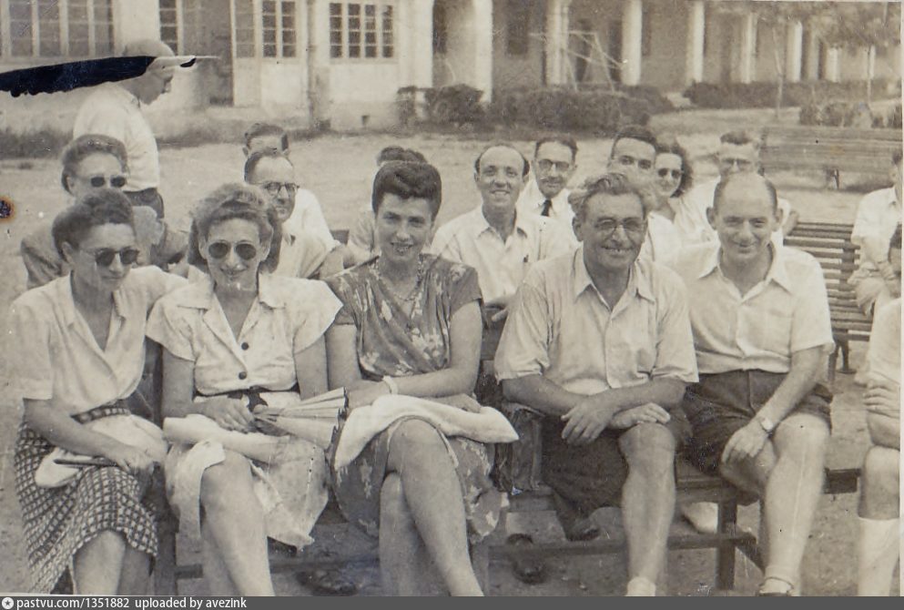
Jewish refugees waiting to be interviewed, in the yard between the Shanghai Jewish School and Ohel Rachel synagogue:
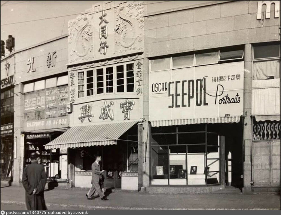
Studio of Oscar Seepol, on the corner of Bubbling Well and Hart Roads, in the 1940s:
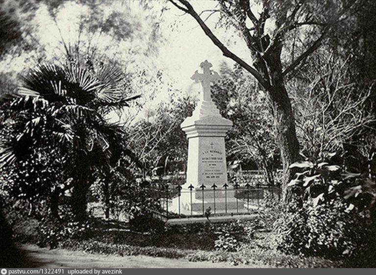
Grave of Tiburcio Faraldo at the New Cemetery, after 1875:
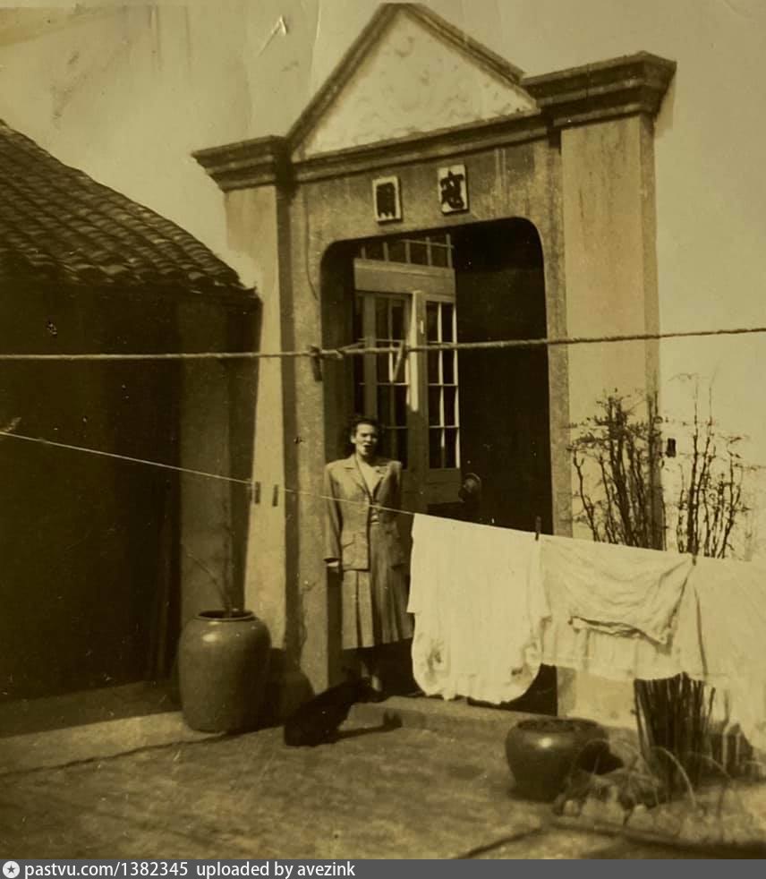
Walter J. Kerr family residence (Peking House) at 204 Route Ferguson, around 1941:
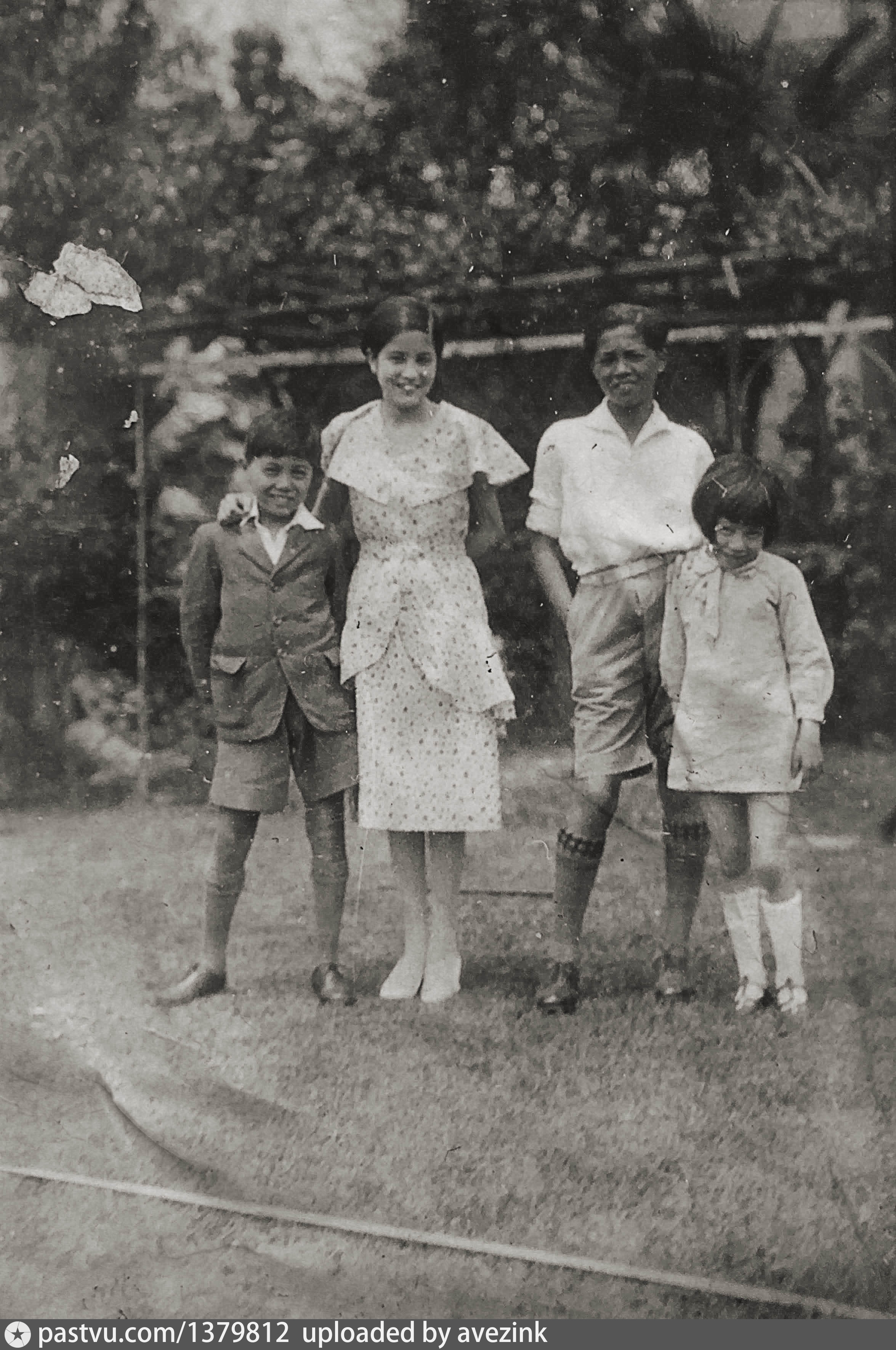
Children in the garden of H. M. Cumine's villa, ay 64 Route Grouchy, in the 1920s; this property was later rented by the Soviet Club:
More historic images can be found in the PastVu gallery.
Link to the map

You can use various base maps: Mapnik street map and Google Scheme are good for reading the street names. Yandex Satellite is often sharper than Google Satellite.

To switch from photographs to paintings and graphics, choose the landscape icon on the right of the photo camera. The "outgoing arrow" icon further to the right forces to open a new tab for each clicked image.
Flood on the corner of Avenue Foch and Seymour Road, during a summer rain in 1940:

Europe Restaurant, on the corner of Love Lane and Chinhai Road:

[See more images...]
The US Marines club on Seymour Road, close to Sinza Road:

The photo was generously provided by Fred Greguras; I'm preparing a separate post on his contribution to mapping USMC places in Shanghai.
The Dronnikoff couple on the balcony of their General Post Office apartment, in the late 1920s:

Engineer Nicholas Neckludoff on the site of the Development Building, in 1934-1935:

Mrs Wu and her grandson in an alley off West Beijing Road, in 1973:

Party for the local and foreign journalists at the Rokusan Gardens restaurant, in August 1940:

Jewish refugees waiting to be interviewed, in the yard between the Shanghai Jewish School and Ohel Rachel synagogue:

Studio of Oscar Seepol, on the corner of Bubbling Well and Hart Roads, in the 1940s:

Grave of Tiburcio Faraldo at the New Cemetery, after 1875:

Walter J. Kerr family residence (Peking House) at 204 Route Ferguson, around 1941:

Children in the garden of H. M. Cumine's villa, ay 64 Route Grouchy, in the 1920s; this property was later rented by the Soviet Club:

More historic images can be found in the PastVu gallery.
Link to the map

You can use various base maps: Mapnik street map and Google Scheme are good for reading the street names. Yandex Satellite is often sharper than Google Satellite.

To switch from photographs to paintings and graphics, choose the landscape icon on the right of the photo camera. The "outgoing arrow" icon further to the right forces to open a new tab for each clicked image.