Over 2,900 historic images of Shanghai mapped on PastVu
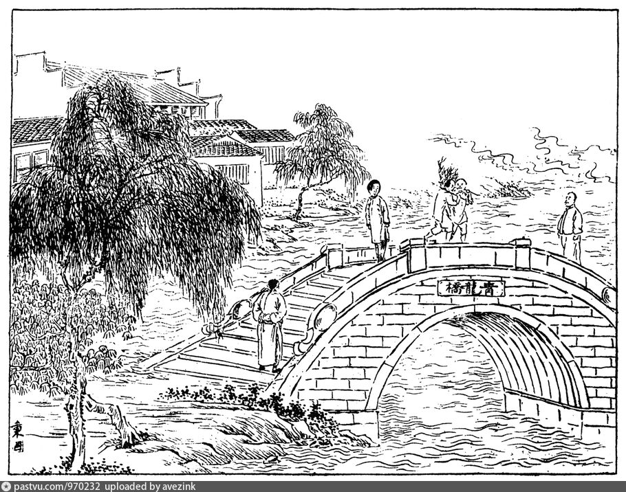
Green Dragon Bridge 青龙桥, in the riverside neighborhood Dongjiadu.
Many of the highlights appear on the Facebook page of the project Mapping Old Shanghai. Among the latest additions to the PastVu gallery there are:
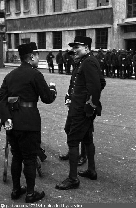
Harrison Forman's photographs of the Poste de Police Petain in late 1937. The block has been redeveloped.
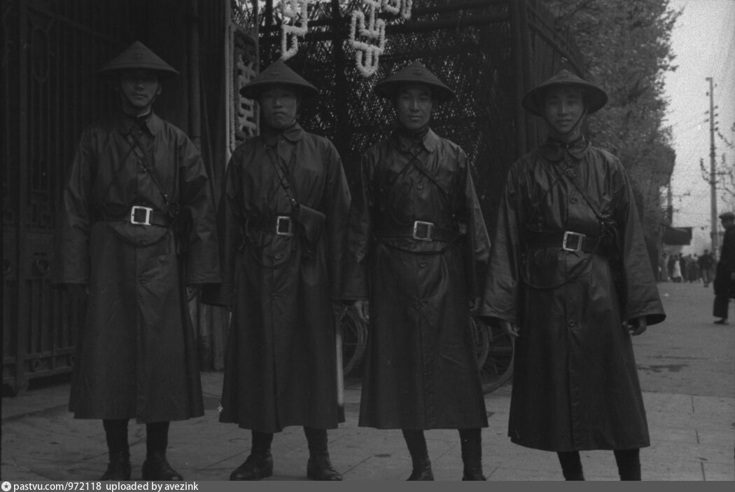
More uniformed policemen, this time on Avenue Joffre:
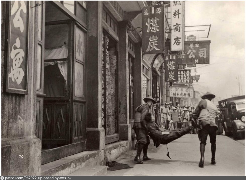
This drug-related arrest on Rue Eugene Bard in 1936:
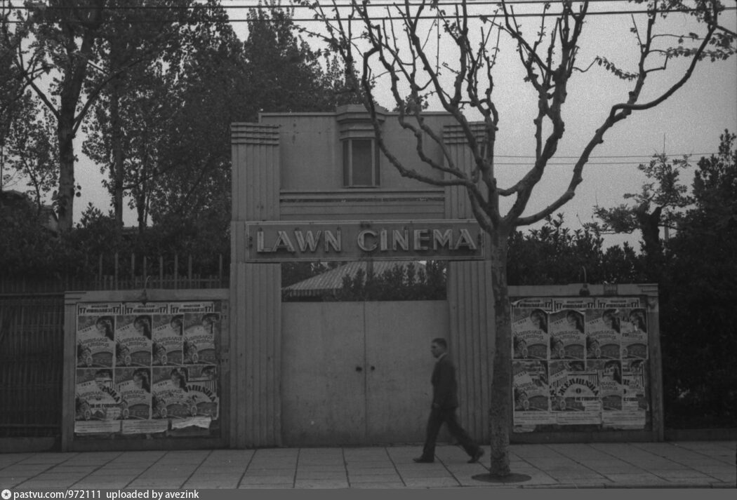
Forman's photographs of the Lawn Cinema on Avenue Joffre, of which I wrote yesterday:
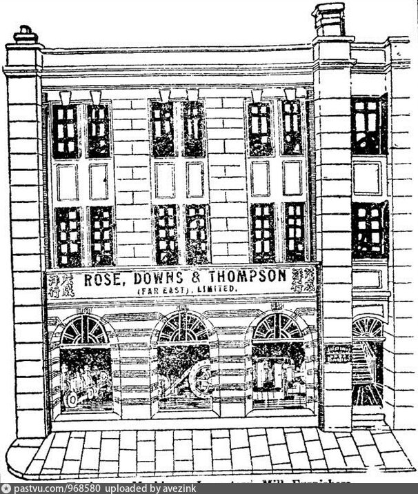
This lovely storefront on Nanking Road:
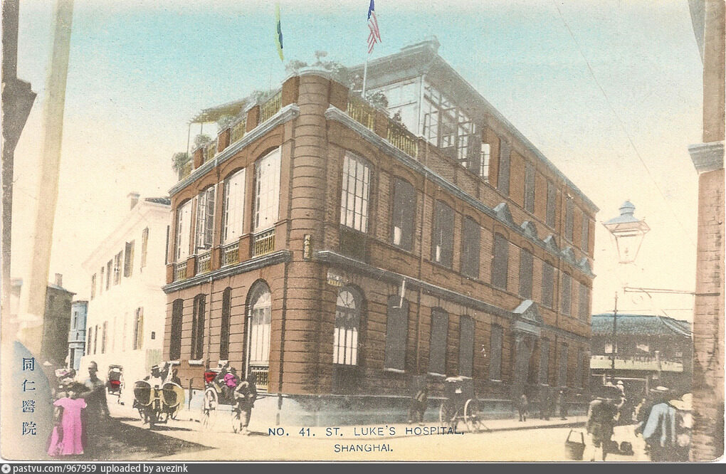
St. Luke's Hospital in Hongkew:
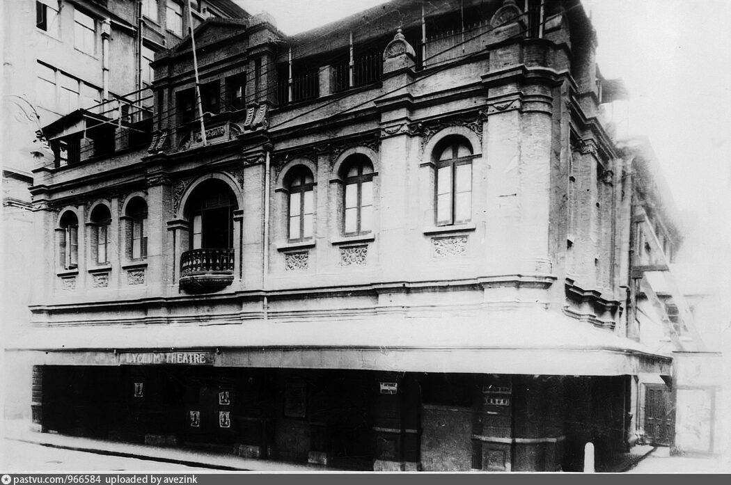
This rare image of the old Lyceum Theatre on Museum Road before its demolition in 1929:
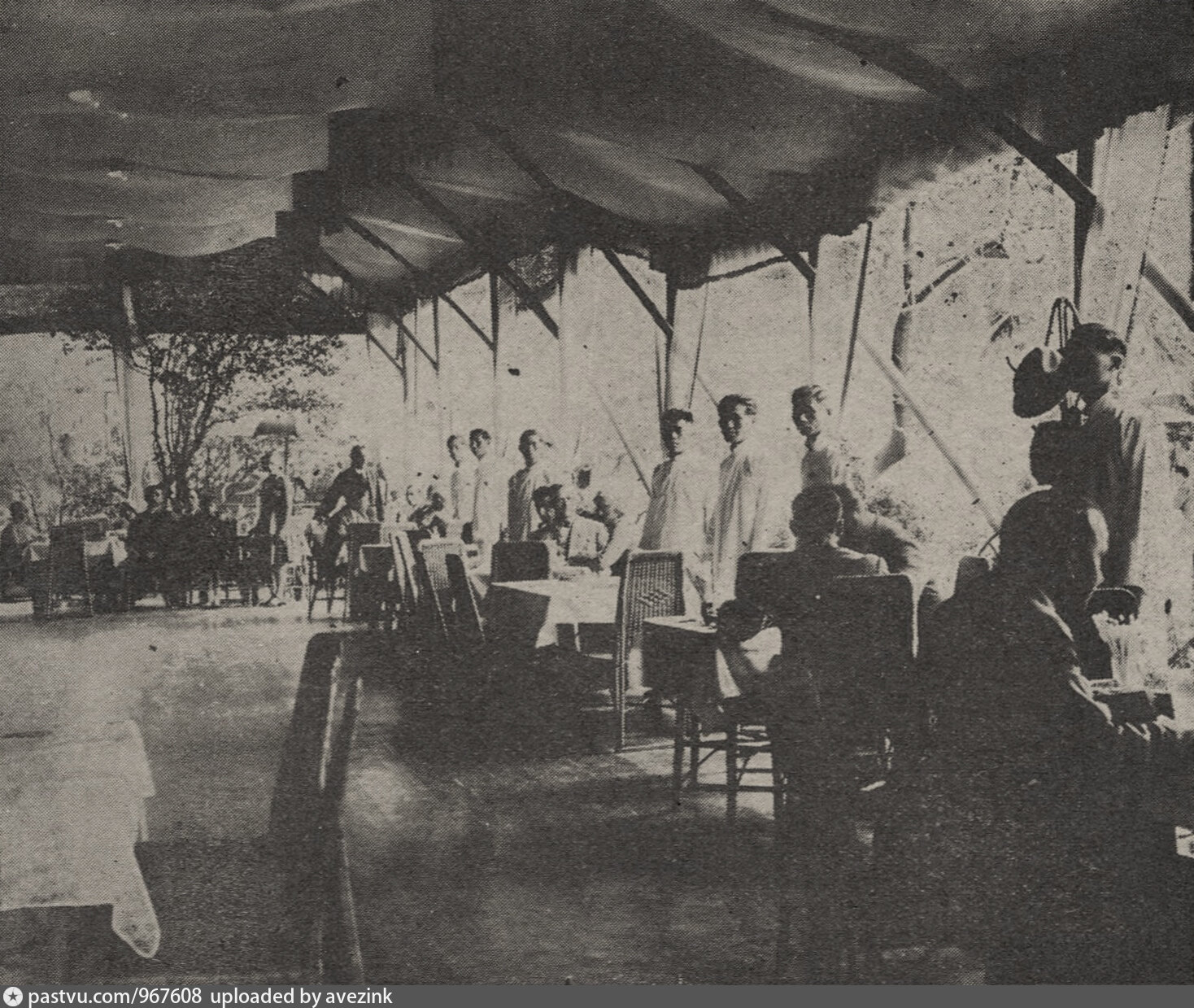
Tkachenkos' Garden Restaurant on Avenue Joffre, from Le journal de Shanghai:
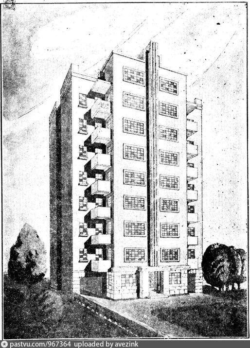
This drawing of the Liberty Apartments on Route Maresca, which credits the building to the architectural firm of Chang, Ede and Partners:
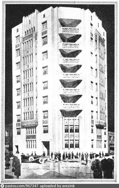
This unrealized project of an apartment building on the corner of Rue Bourgeat and Avenue du Roi Albert:
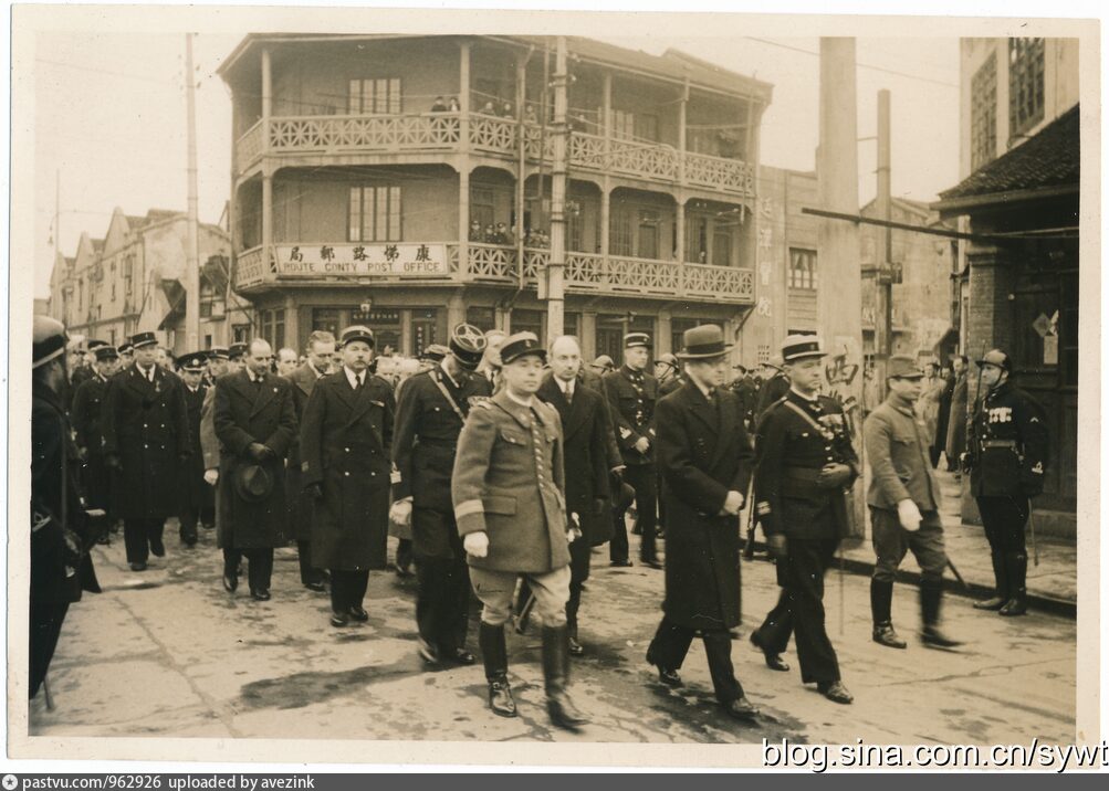
This beautiful hi-res image of the Route Conty Post Office, demolished fairly recently:
Other "new" old photographs can be found in the PastVu gallery.
Link to the map

You can use various base maps: Mapnik street map, Google Scheme, Google Satellite or Yandex Satellite (sometimes sharper than Google).
To switch between architectural drawings and photographs, alternate between the photocamera and the landscape icons. To open each image in a new window click the icon with the outgoing arrow, to the right of the landscape icon:
